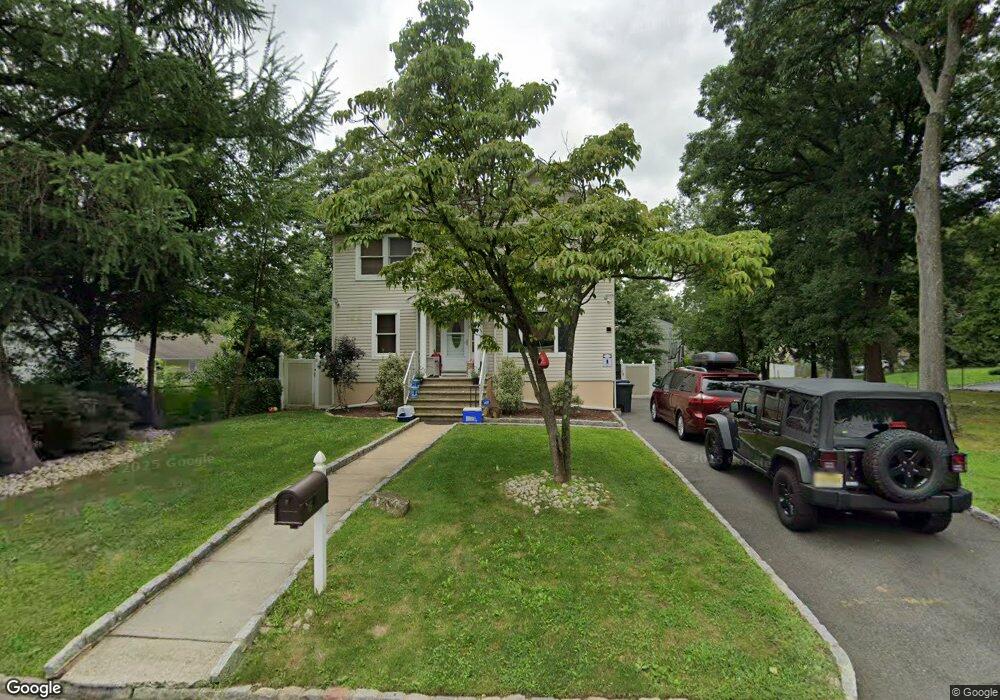
15 Roosevelt Ave Fanwood, NJ 07023
Estimated Value: $624,000 - $872,000
--
Bed
--
Bath
1,812
Sq Ft
$431/Sq Ft
Est. Value
About This Home
This home is located at 15 Roosevelt Ave, Fanwood, NJ 07023 and is currently estimated at $780,726, approximately $430 per square foot. 15 Roosevelt Ave is a home located in Union County with nearby schools including William J. McGinn Elementary School, Terrill Middle School, and Scotch Plains-Fanwood High School.
Ownership History
Date
Name
Owned For
Owner Type
Purchase Details
Closed on
Nov 24, 2008
Sold by
Curry Frances Watson and Curry Ronald
Bought by
Mirza Muhammad and Abrar Asma
Current Estimated Value
Home Financials for this Owner
Home Financials are based on the most recent Mortgage that was taken out on this home.
Original Mortgage
$348,500
Outstanding Balance
$228,803
Interest Rate
6%
Mortgage Type
Purchase Money Mortgage
Estimated Equity
$551,923
Purchase Details
Closed on
May 10, 2006
Sold by
Murray Eva R
Bought by
Curry Frances Watson and Curry Ronald
Home Financials for this Owner
Home Financials are based on the most recent Mortgage that was taken out on this home.
Original Mortgage
$283,500
Interest Rate
9.5%
Mortgage Type
Adjustable Rate Mortgage/ARM
Create a Home Valuation Report for This Property
The Home Valuation Report is an in-depth analysis detailing your home's value as well as a comparison with similar homes in the area
Home Values in the Area
Average Home Value in this Area
Purchase History
| Date | Buyer | Sale Price | Title Company |
|---|---|---|---|
| Mirza Muhammad | $410,000 | Commonwealth Title | |
| Curry Frances Watson | $315,000 | -- |
Source: Public Records
Mortgage History
| Date | Status | Borrower | Loan Amount |
|---|---|---|---|
| Open | Mirza Muhammad | $348,500 | |
| Previous Owner | Curry Frances Watson | $283,500 |
Source: Public Records
Tax History Compared to Growth
Tax History
| Year | Tax Paid | Tax Assessment Tax Assessment Total Assessment is a certain percentage of the fair market value that is determined by local assessors to be the total taxable value of land and additions on the property. | Land | Improvement |
|---|---|---|---|---|
| 2025 | $14,109 | $480,400 | $240,000 | $240,400 |
| 2024 | $13,663 | $480,400 | $240,000 | $240,400 |
| 2023 | $13,663 | $480,400 | $240,000 | $240,400 |
| 2022 | $13,485 | $480,400 | $240,000 | $240,400 |
| 2021 | $13,350 | $480,400 | $240,000 | $240,400 |
| 2020 | $12,956 | $480,400 | $240,000 | $240,400 |
| 2019 | $11,867 | $81,000 | $23,100 | $57,900 |
| 2018 | $11,778 | $81,000 | $23,100 | $57,900 |
| 2017 | $11,536 | $81,000 | $23,100 | $57,900 |
| 2016 | $11,189 | $81,000 | $23,100 | $57,900 |
| 2015 | $10,726 | $81,000 | $23,100 | $57,900 |
| 2014 | $10,609 | $81,000 | $23,100 | $57,900 |
Source: Public Records
Map
Nearby Homes
- 345 La Grande Ave
- 5 Robin Rd
- 59 1st St
- 2087 Meadowview Rd
- 40 1st St
- 2212 Shady Ln
- 360 North Ave
- 1933 W Broad St
- 324 North Ave
- 36 2nd St
- 2219 North Ave Unit 6
- 193 South Ave
- 75 Westfield Rd
- 32 Gere Place
- 2314 Longfellow Ave
- 125 Westfield Rd
- 171 Vinton Cir
- 4 Brandywine Ct
- 149 Tillotson Rd
- 2154 W Broad St
- 11 Roosevelt Ave
- 7 Roosevelt Ave
- 71 Trenton Ave
- 66 Daniel Place
- 57 Trenton Ave
- 60 Daniel Place
- 71 Daniel Place
- 55 Trenton Ave
- 21 Roosevelt Ave
- 60 Trenton Ave
- 60 Trenton Ave Unit OF
- 53 Trenton Ave
- 18 Roosevelt Ave
- 65 Daniel Place
- 56 Trenton Ave
- 18 Saville Row
- 22 Roosevelt Ave
- 25 Roosevelt Ave
- 61 Daniel Place
- 542 Lincoln Ave