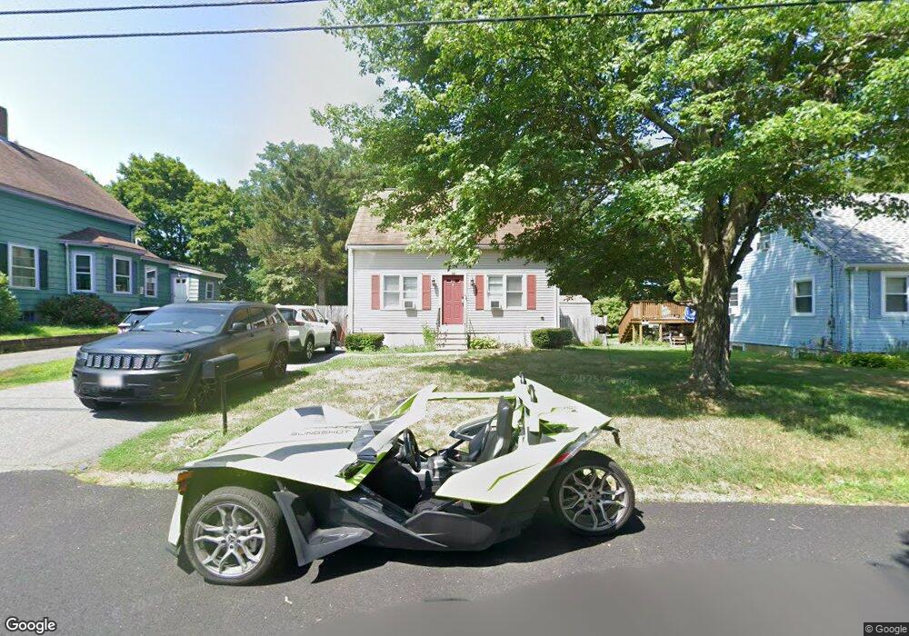
15 Roosevelt St Taunton, MA 02780
Estimated Value: $445,000 - $495,000
3
Beds
2
Baths
1,075
Sq Ft
$441/Sq Ft
Est. Value
About This Home
This home is located at 15 Roosevelt St, Taunton, MA 02780 and is currently estimated at $473,617, approximately $440 per square foot. 15 Roosevelt St is a home located in Bristol County with nearby schools including Mulcahey Elementary School, Taunton High School, and Joseph H. Martin.
Ownership History
Date
Name
Owned For
Owner Type
Purchase Details
Closed on
Aug 28, 1998
Sold by
Gunn Daniel F and Gunn Julie F
Bought by
Sanchez Lisa M and Sanchez Edgar B
Current Estimated Value
Home Financials for this Owner
Home Financials are based on the most recent Mortgage that was taken out on this home.
Original Mortgage
$107,900
Outstanding Balance
$23,049
Interest Rate
6.9%
Mortgage Type
Purchase Money Mortgage
Estimated Equity
$450,568
Create a Home Valuation Report for This Property
The Home Valuation Report is an in-depth analysis detailing your home's value as well as a comparison with similar homes in the area
Home Values in the Area
Average Home Value in this Area
Purchase History
| Date | Buyer | Sale Price | Title Company |
|---|---|---|---|
| Sanchez Lisa M | $119,900 | -- |
Source: Public Records
Mortgage History
| Date | Status | Borrower | Loan Amount |
|---|---|---|---|
| Open | Sanchez Lisa M | $107,900 |
Source: Public Records
Tax History Compared to Growth
Tax History
| Year | Tax Paid | Tax Assessment Tax Assessment Total Assessment is a certain percentage of the fair market value that is determined by local assessors to be the total taxable value of land and additions on the property. | Land | Improvement |
|---|---|---|---|---|
| 2025 | $4,234 | $387,000 | $114,600 | $272,400 |
| 2024 | $3,831 | $342,400 | $114,600 | $227,800 |
| 2023 | $3,811 | $316,300 | $119,800 | $196,500 |
| 2022 | $3,481 | $264,100 | $92,900 | $171,200 |
| 2021 | $3,441 | $242,300 | $84,400 | $157,900 |
| 2020 | $3,290 | $221,400 | $84,400 | $137,000 |
| 2019 | $3,421 | $217,100 | $84,400 | $132,700 |
| 2018 | $3,204 | $203,800 | $85,200 | $118,600 |
| 2017 | $3,038 | $193,400 | $80,700 | $112,700 |
| 2016 | $2,929 | $186,800 | $78,400 | $108,400 |
| 2015 | $2,856 | $190,300 | $77,600 | $112,700 |
| 2014 | $2,685 | $183,800 | $77,200 | $106,600 |
Source: Public Records
Map
Nearby Homes
- 50 Highland St Unit 135
- 50 Highland St Unit 37
- 4 A Lawton St Unit A
- 58 Lawton St
- 65 Bridget Dr
- 125 Highland St Unit 103
- 450 Somerset Ave Unit 6-6
- 163 Baker Rd W
- 2 Clarendon St
- 513 Berkley St
- 1160 Somerset Ave
- 13 Plain St
- 410 Warner Blvd Unit A
- 1 Everett St
- 12 Beacon St
- 4 Parkin Ct
- 173 Highland St Unit 201
- 170 Highland St Unit 320
- 170 Highland St Unit 119
- 72 Barnum St
- 17 Roosevelt St
- 13 Roosevelt St
- 21 Roosevelt St
- 14 Roosevelt St
- 18 Roosevelt St
- 9 Roosevelt St
- 12 Roosevelt St
- 22 Roosevelt St
- 10 Roosevelt St
- 25 Roosevelt St
- 5 Roosevelt St
- 26 Roosevelt St
- 29 Roosevelt St
- 28 Roosevelt St
- 30 Highland St
- 26 Highland St
- 22 Highland St
- 20 Highland St
- 22 Highland St Unit 1
- 18 Highland St