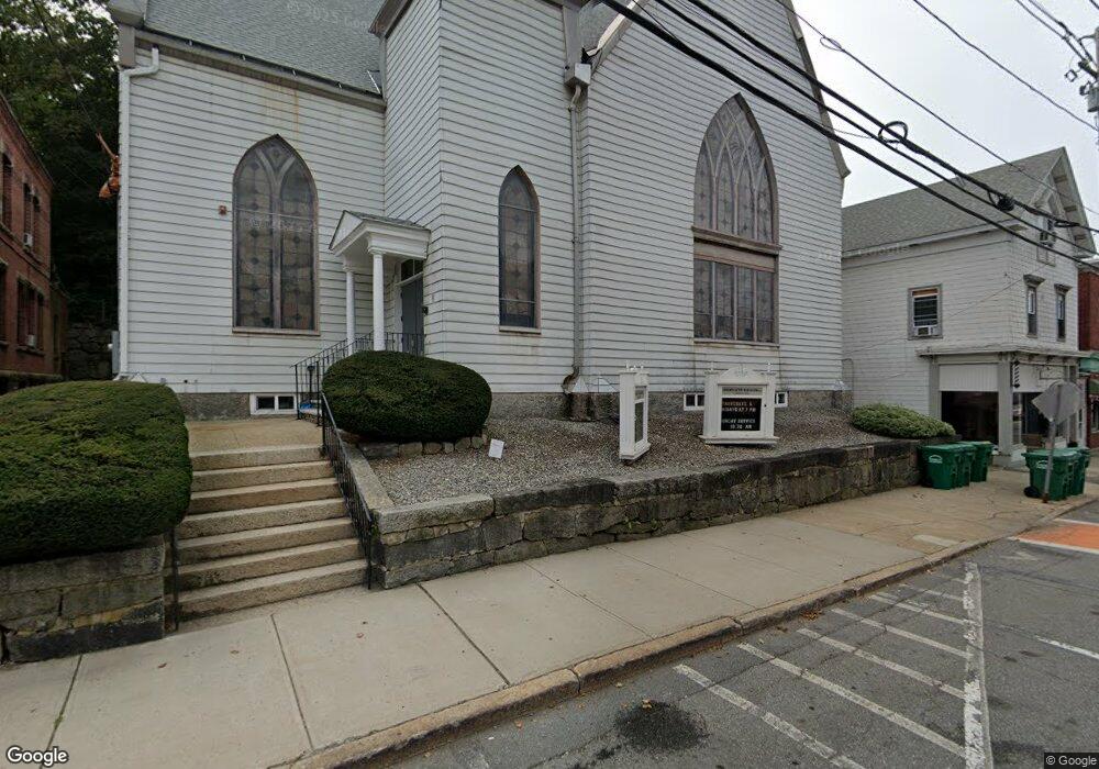
15 S Main St Uxbridge, MA 01569
Estimated Value: $371,899
Studio
3
Baths
2,334
Sq Ft
$159/Sq Ft
Est. Value
About This Home
This home is located at 15 S Main St, Uxbridge, MA 01569 and is currently priced at $371,899, approximately $159 per square foot. 15 S Main St is a home located in Worcester County with nearby schools including Uxbridge High School, Our Lady of the Valley Regional School, and Whitinsville Christian School.
Ownership History
Date
Name
Owned For
Owner Type
Purchase Details
Closed on
Feb 16, 2007
Sold by
1St Methodist Epis Chr
Bought by
Congregacion Maranath
Current Estimated Value
Home Financials for this Owner
Home Financials are based on the most recent Mortgage that was taken out on this home.
Original Mortgage
$144,000
Outstanding Balance
$86,633
Interest Rate
6.24%
Mortgage Type
Commercial
Create a Home Valuation Report for This Property
The Home Valuation Report is an in-depth analysis detailing your home's value as well as a comparison with similar homes in the area
Home Values in the Area
Average Home Value in this Area
Purchase History
| Date | Buyer | Sale Price | Title Company |
|---|---|---|---|
| Congregacion Maranath | $192,500 | -- |
Source: Public Records
Mortgage History
| Date | Status | Borrower | Loan Amount |
|---|---|---|---|
| Open | Congregacion Maranath | $144,000 |
Source: Public Records
Tax History
| Year | Tax Paid | Tax Assessment Tax Assessment Total Assessment is a certain percentage of the fair market value that is determined by local assessors to be the total taxable value of land and additions on the property. | Land | Improvement |
|---|---|---|---|---|
| 2025 | $0 | $529,000 | $127,800 | $401,200 |
| 2024 | -- | $518,400 | $117,200 | $401,200 |
| 2023 | $0 | $501,000 | $106,500 | $394,500 |
| 2022 | $0 | $491,100 | $96,600 | $394,500 |
| 2021 | $0 | $486,800 | $92,300 | $394,500 |
| 2020 | $0 | $458,500 | $95,900 | $362,600 |
| 2019 | $0 | $355,100 | $88,800 | $266,300 |
| 2018 | $0 | $355,100 | $88,800 | $266,300 |
| 2017 | $0 | $252,100 | $75,500 | $176,600 |
| 2016 | -- | $277,500 | $108,400 | $169,100 |
| 2015 | -- | $272,300 | $108,400 | $163,900 |
Source: Public Records
Map
Nearby Homes
- 24 Olde Canal Way Unit 24
- 13 Blanchard Ave
- 20 Nature View Dr Unit 20
- 7 Gentry Ln Unit 7
- 26 Fagan St
- 37 Elizabeth St
- 288 High St
- 35 Pouts Ln
- 4 Strathmore Shire Dr Unit B
- 307 N Main St
- 36 Elm St
- 3 Strathmore Shire Unit A
- 197 Crownshield Ave Unit 16C
- 300 Crownshield Ave
- 71 Rivulet St Unit B
- 125 Saint Andre Dr
- 73 Tea Party Dr Unit L-4
- 395 High St
- 50 Carrington Ln
- 129 Elm St Unit Lot 7
- 13 S Main St
- 11 S Main St
- 11 S Main St Unit B
- 20 S Main St
- 5 S Main St Unit C
- 5 S Main St
- lot 1 Walnut Grove
- Lot 2-6 Royal Steed Ct
- 51 Pleasant St
- 51 Pleasant St Unit 2
- 51 Pleasant St Unit 1
- 7 So Main St Unit 4
- 6 S Main St Unit A
- 6 S Main St Unit D
- 6 S Main St Unit A,B
- 6 S Main St Unit 2
- 6 S Main St
- 46 Pleasant St
- 57 Pleasant St
- 2 S Main St Unit 3