15 S Valley Rd Nantucket, MA 02554
Estimated Value: $3,143,664 - $5,394,000
3
Beds
3
Baths
1,926
Sq Ft
$2,032/Sq Ft
Est. Value
About This Home
This home is located at 15 S Valley Rd, Nantucket, MA 02554 and is currently estimated at $3,913,416, approximately $2,031 per square foot. 15 S Valley Rd is a home located in Nantucket County with nearby schools including Nantucket Elementary School, Cyrus Peirce Middle School, and Nantucket High School.
Ownership History
Date
Name
Owned For
Owner Type
Purchase Details
Closed on
Sep 25, 2003
Sold by
Phillips Janet C
Bought by
Ravenscroft Chris and Ravenscroft Lisa Sanders
Current Estimated Value
Home Financials for this Owner
Home Financials are based on the most recent Mortgage that was taken out on this home.
Original Mortgage
$540,000
Outstanding Balance
$253,378
Interest Rate
6.29%
Mortgage Type
Purchase Money Mortgage
Estimated Equity
$3,660,038
Create a Home Valuation Report for This Property
The Home Valuation Report is an in-depth analysis detailing your home's value as well as a comparison with similar homes in the area
Home Values in the Area
Average Home Value in this Area
Purchase History
| Date | Buyer | Sale Price | Title Company |
|---|---|---|---|
| Ravenscroft Chris | $1,250,000 | -- |
Source: Public Records
Mortgage History
| Date | Status | Borrower | Loan Amount |
|---|---|---|---|
| Open | Ravenscroft Chris | $540,000 |
Source: Public Records
Tax History
| Year | Tax Paid | Tax Assessment Tax Assessment Total Assessment is a certain percentage of the fair market value that is determined by local assessors to be the total taxable value of land and additions on the property. | Land | Improvement |
|---|---|---|---|---|
| 2025 | $11,368 | $3,465,800 | $2,536,300 | $929,500 |
| 2024 | $10,848 | $3,465,800 | $2,536,300 | $929,500 |
| 2023 | $9,798 | $3,052,300 | $2,420,000 | $632,300 |
| 2022 | $9,963 | $2,664,000 | $2,031,700 | $632,300 |
| 2021 | $8,913 | $2,455,300 | $1,871,300 | $584,000 |
| 2020 | $8,582 | $2,487,500 | $1,871,300 | $616,200 |
| 2019 | $8,217 | $2,445,500 | $1,829,300 | $616,200 |
| 2018 | $8,119 | $2,300,100 | $1,829,300 | $470,800 |
| 2017 | $7,580 | $2,235,900 | $1,829,300 | $406,600 |
| 2016 | $7,337 | $2,183,600 | $1,777,000 | $406,600 |
| 2015 | $7,595 | $2,103,800 | $1,684,700 | $419,100 |
| 2014 | $7,150 | $1,901,600 | $1,482,500 | $419,100 |
Source: Public Records
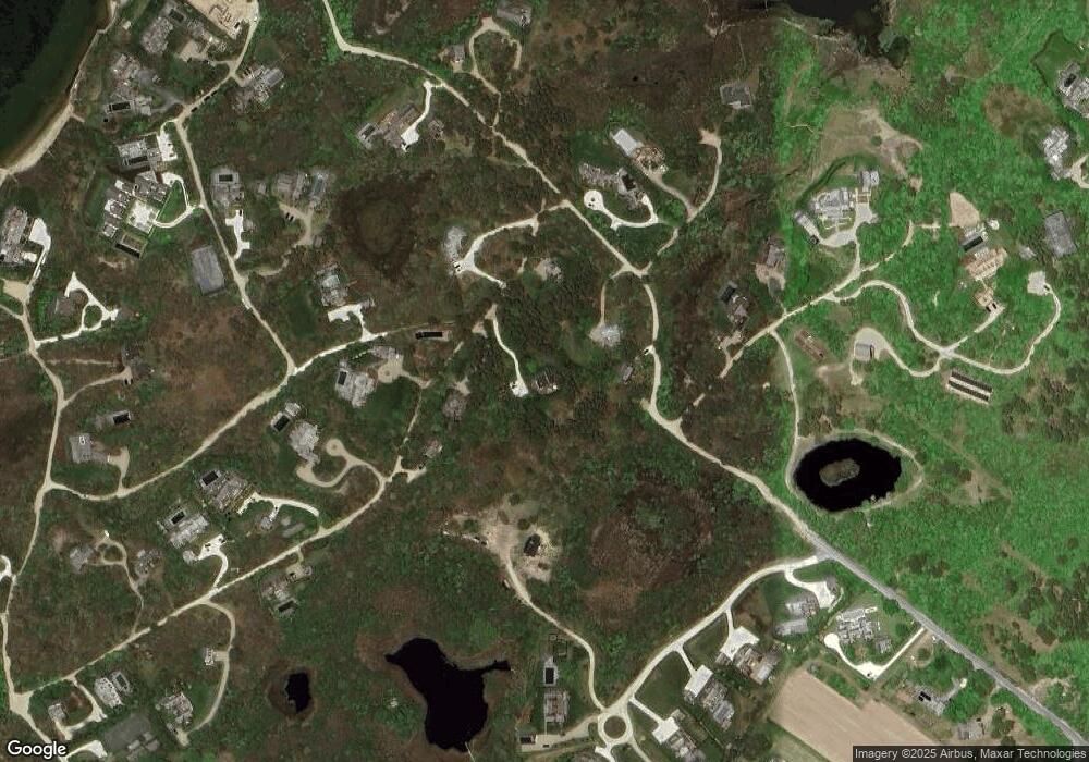
Map
Nearby Homes
- 7 Moors End Ln
- 25 N Pasture Ln
- 11 Sesapana Rd
- 2 Mariner Way
- 6 Mariner Way
- 54 Union St
- 163 Orange St
- 2B Forest Ave Unit 6
- 2B Forest Ave Unit 2
- 36 Easton St
- 2A Forest Ave Unit 5
- 2A Forest Ave Unit 1
- 17B Old South Rd Unit 2
- 85 Orange St
- 21 Kittiwake Ln
- 26 Easy St Unit 1
- 26 Easy St Unit 2
- 26 Easy St Unit 3
- 10 York St
- 45 Easton St
- 11 S Valley Rd
- 16 Gardner Rd
- 6 Middle Valley Rd
- 18 Gardner Rd
- 17 S Valley Rd
- 2 Shawkemo Rd
- 12 Gardner Rd
- 14 S Valley Rd
- 4 Shawkemo Rd
- 21 Gardner Rd
- 12 Pippens Way
- 10 S Valley Rd
- 12 Middle Valley Rd
- 19 Gardner Rd
- 6 Shawkemo Rd
- 28 Gardner Rd
- 8 Middle Valley Rd
- 7 S Valley Rd
- 8 S Valley Rd
- 9 Juniper Hill
Your Personal Tour Guide
Ask me questions while you tour the home.