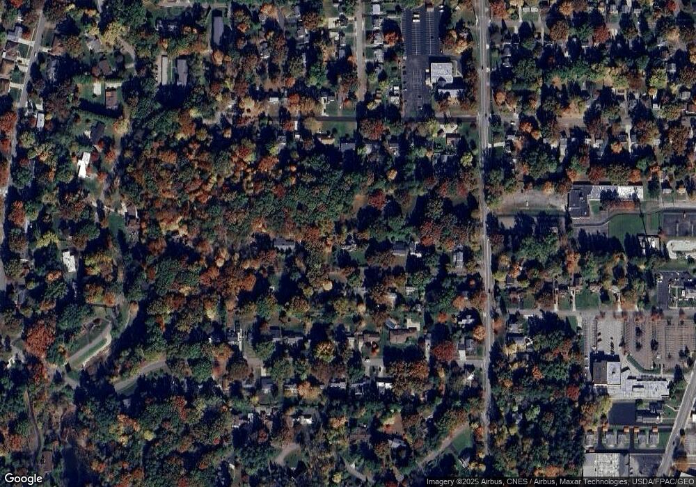
15 Salter Rd Wooster, OH 44691
Estimated Value: $391,426 - $408,000
4
Beds
3
Baths
2,254
Sq Ft
$177/Sq Ft
Est. Value
About This Home
This home is located at 15 Salter Rd, Wooster, OH 44691 and is currently estimated at $398,857, approximately $176 per square foot. 15 Salter Rd is a home located in Wayne County with nearby schools including Cornerstone Elementary School, Edgewood Middle School, and Wooster High School.
Ownership History
Date
Name
Owned For
Owner Type
Purchase Details
Closed on
Apr 8, 2008
Sold by
Beyes Niklas and Beyes Lisa Maria
Bought by
Gamble Harry Y and Gamble April R
Current Estimated Value
Home Financials for this Owner
Home Financials are based on the most recent Mortgage that was taken out on this home.
Original Mortgage
$220,500
Interest Rate
6.32%
Mortgage Type
New Conventional
Purchase Details
Closed on
Oct 28, 2005
Sold by
Morris Tiffany S and Morris Matthew G
Bought by
Beyes Niklas
Purchase Details
Closed on
May 29, 1998
Sold by
Copeland Laura H
Bought by
Morris Tiffany S and Morris Matthew G
Home Financials for this Owner
Home Financials are based on the most recent Mortgage that was taken out on this home.
Original Mortgage
$161,500
Interest Rate
7.27%
Mortgage Type
New Conventional
Create a Home Valuation Report for This Property
The Home Valuation Report is an in-depth analysis detailing your home's value as well as a comparison with similar homes in the area
Home Values in the Area
Average Home Value in this Area
Purchase History
| Date | Buyer | Sale Price | Title Company |
|---|---|---|---|
| Gamble Harry Y | $250,000 | Wayne County Title | |
| Beyes Niklas | $224,500 | Wayne County Title | |
| Morris Tiffany S | $170,000 | -- |
Source: Public Records
Mortgage History
| Date | Status | Borrower | Loan Amount |
|---|---|---|---|
| Open | Gamble Harry Y | $50,000 | |
| Previous Owner | Gamble Harryy | $208,780 | |
| Previous Owner | Gamble Harry Y | $220,500 | |
| Previous Owner | Morris Matthew G | $179,250 | |
| Previous Owner | Morris Tiffany S | $161,500 |
Source: Public Records
Tax History Compared to Growth
Tax History
| Year | Tax Paid | Tax Assessment Tax Assessment Total Assessment is a certain percentage of the fair market value that is determined by local assessors to be the total taxable value of land and additions on the property. | Land | Improvement |
|---|---|---|---|---|
| 2024 | $4,739 | $114,300 | $27,300 | $87,000 |
| 2023 | $4,739 | $114,300 | $27,300 | $87,000 |
| 2022 | $4,577 | $87,920 | $21,000 | $66,920 |
| 2021 | $4,721 | $87,920 | $21,000 | $66,920 |
| 2020 | $4,476 | $87,920 | $21,000 | $66,920 |
| 2019 | $3,496 | $65,930 | $19,680 | $46,250 |
| 2018 | $3,506 | $65,930 | $19,680 | $46,250 |
| 2017 | $3,539 | $65,930 | $19,680 | $46,250 |
| 2016 | $3,660 | $63,730 | $19,680 | $44,050 |
| 2015 | $3,593 | $63,730 | $19,680 | $44,050 |
| 2014 | $3,595 | $63,730 | $19,680 | $44,050 |
| 2013 | $3,459 | $60,670 | $10,750 | $49,920 |
Source: Public Records
Map
Nearby Homes
- 211 Oakley Rd
- 317 Ihrig Ave
- 0 Eden
- 2206 Graustark Path
- 1544 Eden
- 2021 Cleveland Rd
- 577 Memory Ln
- 596 Meadow Ln
- 629 Meadow Ln
- 2117 Canterbury Ln
- 2143 Canterbury Ln
- 2208 Cleveland Rd
- 1468 Christmas Run Blvd
- 1587 Saunders Dr
- 1960 Autumn Run
- 728 Portage Rd
- 1694 Arthur Dr
- 536 Catalina Blvd
- 941 Woodmere Dr
- 539 Forest Creek Dr Unit 6842
