15 Samson Ln Harveys Lake, PA 18618
Estimated Value: $195,642 - $495,000
--
Bed
--
Bath
2,628
Sq Ft
$131/Sq Ft
Est. Value
About This Home
This home is located at 15 Samson Ln, Harveys Lake, PA 18618 and is currently estimated at $345,161, approximately $131 per square foot. 15 Samson Ln is a home.
Ownership History
Date
Name
Owned For
Owner Type
Purchase Details
Closed on
Mar 26, 2021
Sold by
Samson Carole J
Bought by
Jell Property Management Llc
Current Estimated Value
Home Financials for this Owner
Home Financials are based on the most recent Mortgage that was taken out on this home.
Original Mortgage
$60,000
Outstanding Balance
$54,085
Interest Rate
2.9%
Mortgage Type
Commercial
Estimated Equity
$291,076
Purchase Details
Closed on
Oct 26, 1988
Bought by
Samson Daniel A and Samson Carole J
Create a Home Valuation Report for This Property
The Home Valuation Report is an in-depth analysis detailing your home's value as well as a comparison with similar homes in the area
Home Values in the Area
Average Home Value in this Area
Purchase History
| Date | Buyer | Sale Price | Title Company |
|---|---|---|---|
| Jell Property Management Llc | $125,000 | None Available | |
| Samson Daniel A | $63,000 | -- |
Source: Public Records
Mortgage History
| Date | Status | Borrower | Loan Amount |
|---|---|---|---|
| Open | Jell Property Management Llc | $60,000 |
Source: Public Records
Tax History Compared to Growth
Tax History
| Year | Tax Paid | Tax Assessment Tax Assessment Total Assessment is a certain percentage of the fair market value that is determined by local assessors to be the total taxable value of land and additions on the property. | Land | Improvement |
|---|---|---|---|---|
| 2025 | $1,642 | $86,200 | $55,400 | $30,800 |
| 2024 | $1,644 | $86,200 | $55,400 | $30,800 |
| 2023 | $1,644 | $86,200 | $55,400 | $30,800 |
| 2022 | $1,628 | $86,200 | $55,400 | $30,800 |
| 2021 | $1,599 | $86,200 | $55,400 | $30,800 |
| 2020 | $1,599 | $86,200 | $55,400 | $30,800 |
| 2019 | $1,536 | $86,200 | $55,400 | $30,800 |
| 2018 | $1,499 | $86,200 | $55,400 | $30,800 |
| 2017 | $1,471 | $86,200 | $55,400 | $30,800 |
| 2016 | -- | $86,200 | $55,400 | $30,800 |
| 2015 | -- | $86,200 | $55,400 | $30,800 |
| 2014 | -- | $86,200 | $55,400 | $30,800 |
Source: Public Records
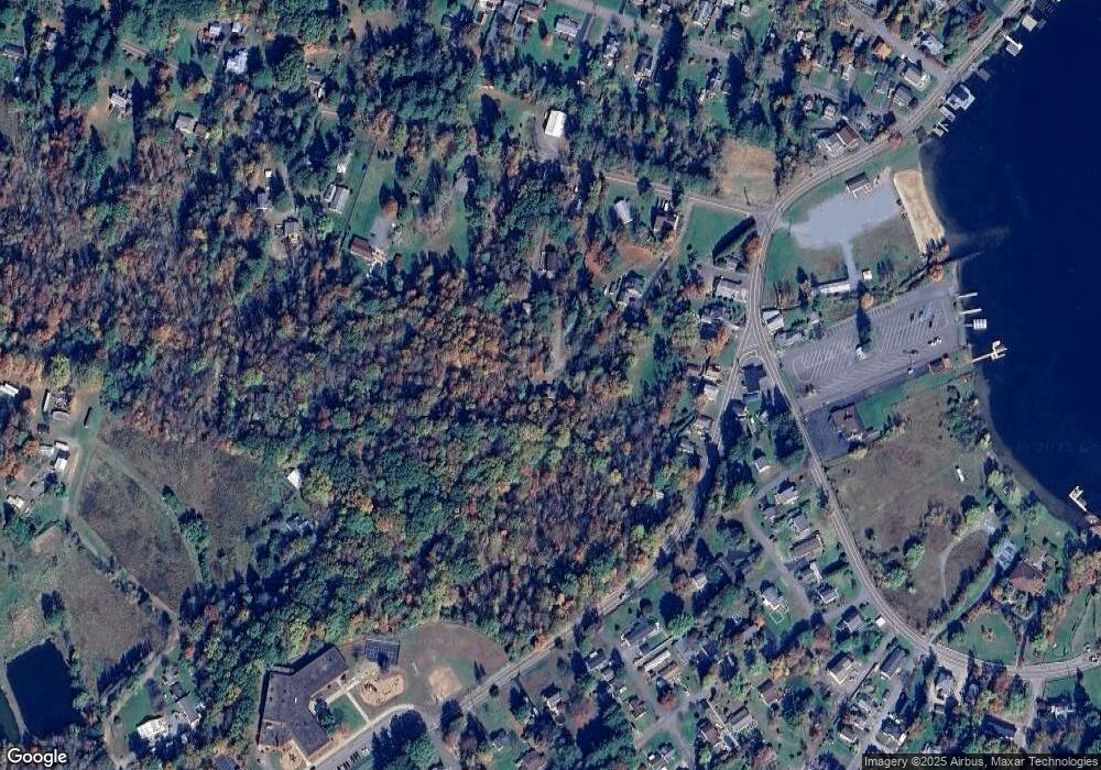
Map
Nearby Homes
- 2 Noble St
- 222 Noble St
- 14 May Ave
- 33 Dudley Street Harveys Lake Pennsylvania St
- 2633 Lakeside Dr
- 127 Beaver Dr
- 41 Northview Ave
- 34 Northview Ave
- 0 Noxen Rd
- 0 Beech St
- 38 Hickory St
- 32 1st St
- 10 Lewis Ave
- 0 2nd St
- 1315 Lakeside Dr
- 308 Carpenter Rd
- 4647 Memorial Hwy
- 37 Greenbriar Dr
- 630 Kunkle Rd
- 0 Patton Rd
- 10 Hart Ln
- 34 Queen of Peace Rd
- 27 Westpoint Ave
- 306 W Westpoint Ave
- 23 Westpoint Ave
- 33 Westpoint Ave
- 67 Westpoint Ave
- 2119 Lakeside Dr
- 2117 Lakeside Dr
- 22 W Point Ave
- 28 Westpoint Ave
- 190 Rear Lakeside Dr
- 58 Queen of Peace Rd
- 36 W Point Ave
- 44 Queen of Peace Rd
- 11 Ben Bar Dr
- 2139 Lakeside Dr
- 2111 Lakeside Dr
- 2120 Lakeside Dr
- 52 Westpoint Ave