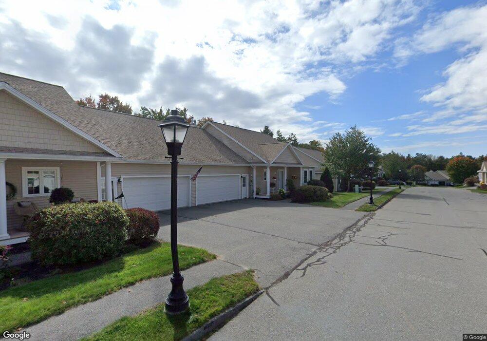
15 Sand Point Ln Unit 15 Cumberland Foreside, ME 04110
Cumberland Foreside NeighborhoodEstimated Value: $706,000 - $762,000
3
Beds
3
Baths
2,906
Sq Ft
$252/Sq Ft
Est. Value
About This Home
This home is located at 15 Sand Point Ln Unit 15, Cumberland Foreside, ME 04110 and is currently estimated at $731,973, approximately $251 per square foot. 15 Sand Point Ln Unit 15 is a home located in Cumberland County with nearby schools including Mabel I. Wilson School, Greely Middle School 4-5, and Greely Middle School.
Ownership History
Date
Name
Owned For
Owner Type
Purchase Details
Closed on
Apr 22, 2022
Sold by
Sturgeon Judith K
Bought by
Corwin David S and Corwin Carol B
Current Estimated Value
Home Financials for this Owner
Home Financials are based on the most recent Mortgage that was taken out on this home.
Original Mortgage
$378,000
Outstanding Balance
$352,254
Interest Rate
3.85%
Mortgage Type
Purchase Money Mortgage
Estimated Equity
$379,719
Purchase Details
Closed on
Aug 4, 2006
Sold by
Custom Built Homes Of Me
Bought by
Sturgeon Eugene F and Sturgeon Judith K
Create a Home Valuation Report for This Property
The Home Valuation Report is an in-depth analysis detailing your home's value as well as a comparison with similar homes in the area
Home Values in the Area
Average Home Value in this Area
Purchase History
| Date | Buyer | Sale Price | Title Company |
|---|---|---|---|
| Corwin David S | $630,000 | None Available | |
| Sturgeon Eugene F | -- | -- | |
| Sturgeon Eugene F | -- | -- |
Source: Public Records
Mortgage History
| Date | Status | Borrower | Loan Amount |
|---|---|---|---|
| Open | Corwin David S | $378,000 |
Source: Public Records
Tax History Compared to Growth
Tax History
| Year | Tax Paid | Tax Assessment Tax Assessment Total Assessment is a certain percentage of the fair market value that is determined by local assessors to be the total taxable value of land and additions on the property. | Land | Improvement |
|---|---|---|---|---|
| 2025 | $8,367 | $332,300 | $40,000 | $292,300 |
| 2024 | $7,726 | $332,300 | $40,000 | $292,300 |
| 2023 | $7,360 | $332,300 | $40,000 | $292,300 |
| 2022 | $6,939 | $327,300 | $40,000 | $287,300 |
| 2021 | $6,697 | $325,900 | $40,000 | $285,900 |
| 2020 | $6,632 | $325,900 | $40,000 | $285,900 |
| 2019 | $6,469 | $325,900 | $40,000 | $285,900 |
| 2018 | $6,420 | $325,900 | $40,000 | $285,900 |
| 2017 | $6,127 | $325,900 | $40,000 | $285,900 |
| 2016 | $5,948 | $325,900 | $40,000 | $285,900 |
| 2015 | $5,899 | $325,900 | $40,000 | $285,900 |
| 2014 | $5,671 | $325,900 | $40,000 | $285,900 |
| 2013 | $5,540 | $325,900 | $40,000 | $285,900 |
Source: Public Records
Map
Nearby Homes
- 24 York Ledge Dr
- 258 Foreside Rd
- 186 Foreside Rd
- 51 Meeting House Farms Rd
- 86 Pleasant St
- 70 Main St
- 37 South St
- 1 Railroad Square Unit Townhome C
- 1 Railroad Square Unit 103
- 1 Railroad Square Unit 205
- 1 Railroad Square Unit 305
- 1 Railroad Square Unit 403
- 1 Railroad Square Unit 101
- 309 Main St Unit A
- Lot 8 Coastal Pines
- 90 Harris Lot 1 Rd
- 52 Blueberry Cove Rd Unit 52
- 39 Harris Rd
- 9 Newell Rd
- 11 Coastal Pines Lot 5
- 15 Sand Point Ln Unit 15
- 12 Sand Point Ln Unit 8
- 21 Sand Point Ln Unit 13
- 16 Sand Point Ln Unit 11
- 18 Sand Point Ln Unit 12
- 12 Sand Point Ln Unit 8
- 23 Sand Point Ln Unit 14
- 22 Sand Point Ln Unit 22
- 22 Sand Point Ln Unit 15
- 22 Sandpoint Unit 22
- 6 Torry Pine Drive 6
- 6 Torry Pine Unit 29
- 6 Torry Pine Dr Unit 6
- 5 Sand Point Ln Unit 5
- 6 Sand Point Ln Unit 6
- 24 Sand Point Ln Unit 24
- 8 Torry Pine Dr Unit 30
- 4 Sand Point Ln Unit 3
- 7 Torry Pine Unit 32
- 12 Torry Pine Unit 33