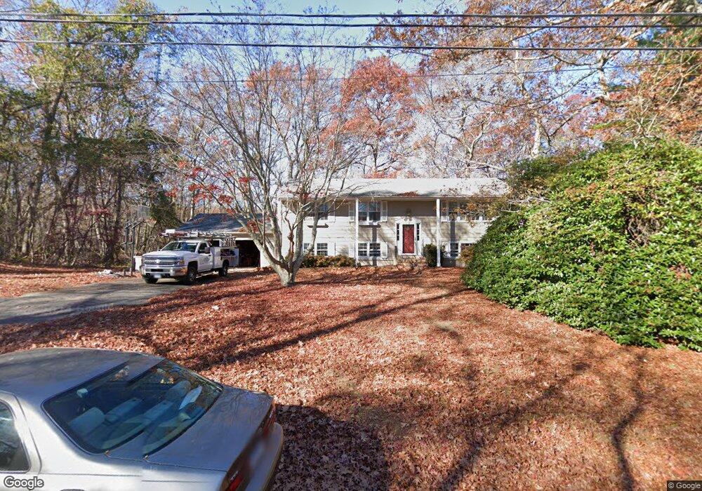
15 Sapia Dr Niantic, CT 06357
Estimated Value: $470,082 - $516,000
4
Beds
3
Baths
1,344
Sq Ft
$372/Sq Ft
Est. Value
About This Home
This home is located at 15 Sapia Dr, Niantic, CT 06357 and is currently estimated at $500,521, approximately $372 per square foot. 15 Sapia Dr is a home located in New London County with nearby schools including East Lyme Middle School, East Lyme High School, and The Light House Voc-Ed Center.
Ownership History
Date
Name
Owned For
Owner Type
Purchase Details
Closed on
Jun 16, 1995
Sold by
Lissitzyn Lawrence H and Beck Christine
Bought by
Kelly William E
Current Estimated Value
Purchase Details
Closed on
Sep 22, 1992
Sold by
Nakanishi Susumu and Nakanishi Eiko
Bought by
Dennis David and Dennis Victoria
Create a Home Valuation Report for This Property
The Home Valuation Report is an in-depth analysis detailing your home's value as well as a comparison with similar homes in the area
Home Values in the Area
Average Home Value in this Area
Purchase History
| Date | Buyer | Sale Price | Title Company |
|---|---|---|---|
| Kelly William E | $122,000 | -- | |
| Dennis David | $137,000 | -- | |
| Dennis David | $137,000 | -- |
Source: Public Records
Mortgage History
| Date | Status | Borrower | Loan Amount |
|---|---|---|---|
| Open | Dennis David | $14,787 | |
| Closed | Dennis David | $14,700 | |
| Open | Dennis David | $209,000 |
Source: Public Records
Tax History
| Year | Tax Paid | Tax Assessment Tax Assessment Total Assessment is a certain percentage of the fair market value that is determined by local assessors to be the total taxable value of land and additions on the property. | Land | Improvement |
|---|---|---|---|---|
| 2025 | $6,151 | $219,590 | $91,070 | $128,520 |
| 2024 | $5,786 | $219,590 | $91,070 | $128,520 |
| 2023 | $5,463 | $219,590 | $91,070 | $128,520 |
| 2022 | $5,235 | $219,590 | $91,070 | $128,520 |
| 2021 | $5,019 | $176,050 | $82,390 | $93,660 |
| 2020 | $4,993 | $176,050 | $82,390 | $93,660 |
| 2019 | $4,963 | $176,050 | $82,390 | $93,660 |
| 2018 | $4,815 | $176,050 | $82,390 | $93,660 |
| 2017 | $4,605 | $176,050 | $82,390 | $93,660 |
| 2016 | $4,530 | $178,640 | $82,390 | $96,250 |
| 2015 | $4,414 | $178,640 | $82,390 | $96,250 |
| 2014 | $4,293 | $178,640 | $82,390 | $96,250 |
Source: Public Records
Map
Nearby Homes
- 19 Sapia Dr
- 12 Spinnaker Dr
- 31 Regatta Dr
- 55 Corey Ln
- 97 W Main St Unit 36
- 127 Black Point Rd Unit 7
- 43 Roxbury Ct
- 26 Mohawk Dr
- 47 Village Crossing Unit 47
- 46 Village Crossing Unit 46
- 42 S Washington Ave
- 36 Attawan Rd
- 43 Village Crossing Unit 43
- 15 Griswold Rd
- 37 Stoneywood Dr
- 468 Main St Unit 318
- 468 Main St Unit 111
- 82 Roxbury Rd
- 80 Roxbury Rd
- 15 Freedom Way Unit 105
Your Personal Tour Guide
Ask me questions while you tour the home.