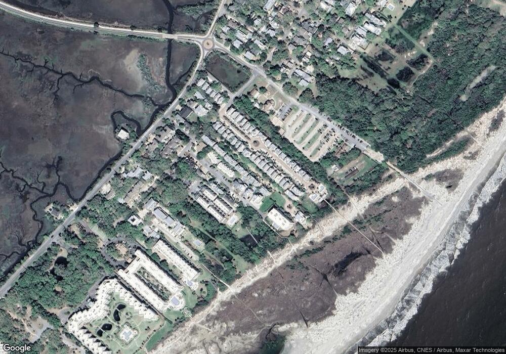
15 Sea Oats Ln Unit 15 Saint Simons Island, GA 31522
Estimated Value: $1,928,302 - $2,574,000
4
Beds
5
Baths
3,402
Sq Ft
$640/Sq Ft
Est. Value
About This Home
This home is located at 15 Sea Oats Ln Unit 15, Saint Simons Island, GA 31522 and is currently estimated at $2,175,826, approximately $639 per square foot. 15 Sea Oats Ln Unit 15 is a home located in Glynn County with nearby schools including St. Simons Elementary School, Glynn Middle School, and Glynn Academy.
Ownership History
Date
Name
Owned For
Owner Type
Purchase Details
Closed on
Sep 6, 2017
Sold by
Heath John H
Bought by
Hendrick Frank O
Current Estimated Value
Purchase Details
Closed on
Feb 26, 2013
Sold by
Travel B Holdings Llc
Bought by
Riden Patricia Cook
Purchase Details
Closed on
Nov 17, 2009
Sold by
The Villas Development Company
Bought by
Vanweegan Mark and Perkowski Pamela A
Purchase Details
Closed on
Oct 23, 2009
Sold by
The Villas Development Company
Bought by
Travel B Holdings Llc
Create a Home Valuation Report for This Property
The Home Valuation Report is an in-depth analysis detailing your home's value as well as a comparison with similar homes in the area
Home Values in the Area
Average Home Value in this Area
Purchase History
| Date | Buyer | Sale Price | Title Company |
|---|---|---|---|
| Hendrick Frank O | $1,275,000 | -- | |
| Riden Patricia Cook | -- | -- | |
| Vanweegan Mark | $847,000 | -- | |
| Travel B Holdings Llc | $1,025,000 | -- |
Source: Public Records
Tax History Compared to Growth
Tax History
| Year | Tax Paid | Tax Assessment Tax Assessment Total Assessment is a certain percentage of the fair market value that is determined by local assessors to be the total taxable value of land and additions on the property. | Land | Improvement |
|---|---|---|---|---|
| 2025 | $12,756 | $508,640 | $200,000 | $308,640 |
| 2024 | $12,879 | $513,520 | $200,000 | $313,520 |
| 2023 | $12,065 | $513,520 | $200,000 | $313,520 |
| 2022 | $12,699 | $513,520 | $200,000 | $313,520 |
| 2021 | $13,087 | $504,160 | $200,000 | $304,160 |
| 2020 | $13,210 | $501,400 | $197,240 | $304,160 |
| 2019 | $13,210 | $501,400 | $197,240 | $304,160 |
| 2018 | $13,342 | $501,400 | $197,240 | $304,160 |
| 2017 | $10,113 | $377,760 | $158,880 | $218,880 |
| 2016 | $9,316 | $377,760 | $158,880 | $218,880 |
| 2015 | $8,385 | $377,760 | $158,880 | $218,880 |
| 2014 | $8,385 | $337,560 | $158,880 | $178,680 |
Source: Public Records
Map
Nearby Homes
- 17 Sea Oats Ln
- 1524 Wood Ave Unit 303
- 1524 Wood Ave Unit 215
- 1524 Wood Ave Unit 214
- 1524 Wood Ave Unit 314
- 1524 Wood Ave Unit 116
- 5 and 7 Sea Oats Ln
- 6 Coast Cottage Ln
- 1528 Ocean Blvd
- 1495 Wood Ave
- 1460 Ocean Blvd Unit 101
- 1440 Ocean Blvd Unit 420
- 1440 Ocean Blvd Unit 437
- 1440 Ocean Blvd Unit 127
- 1440 Ocean Blvd Unit 224
- 1440 Ocean Blvd Unit 119
- 1604 Bruce Dr
- 1400 Ocean Blvd Unit 111
- 1626 Bruce Dr
- 1709 Dixon Ln
- 15 Sea Oats Ln
- 13 Sea Oats Ln
- 13 Sea Oats Ln
- 9 Sea Oats Ln
- 196 Olive Way
- 194 Olive Way
- 19 Sea Oats Ln
- 198 Olive Way
- 17 Coast Cottage Ln
- 11 Sea Oats Ln
- 19 Coast Cottage Ln
- 15 Coast Cottage Ln
- 190 Olive Way
- 21 Coast Cottage Ln
- 13 Coast Cottage Ln
- 200 Olive Way
- 200 Olive Way Unit 200
- 200 Olive Way Unit 202
- 200 Olive Way Unit 204
- 200 Olive Way Unit 200
