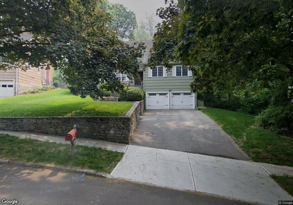
15 Shagbark Ln Fairfield, CT 06824
University NeighborhoodEstimated Value: $1,160,000 - $1,268,650
4
Beds
3
Baths
2,616
Sq Ft
$468/Sq Ft
Est. Value
About This Home
This home is located at 15 Shagbark Ln, Fairfield, CT 06824 and is currently estimated at $1,223,913, approximately $467 per square foot. 15 Shagbark Ln is a home located in Fairfield County with nearby schools including Holland Hill Elementary, Fairfield Woods Middle School, and Fairfield Ludlowe High School.
Ownership History
Date
Name
Owned For
Owner Type
Purchase Details
Closed on
Aug 20, 1999
Sold by
Abella Renato S and Abella Concepcion S
Bought by
Totura Rendl M and Totura Denise A
Current Estimated Value
Home Financials for this Owner
Home Financials are based on the most recent Mortgage that was taken out on this home.
Original Mortgage
$240,000
Interest Rate
7.6%
Purchase Details
Closed on
Jun 3, 1996
Sold by
Avery Daniel L and Avery Patricia A
Bought by
Abella Renato S and Abella Concepcion S
Create a Home Valuation Report for This Property
The Home Valuation Report is an in-depth analysis detailing your home's value as well as a comparison with similar homes in the area
Home Values in the Area
Average Home Value in this Area
Purchase History
| Date | Buyer | Sale Price | Title Company |
|---|---|---|---|
| Totura Rendl M | $420,000 | -- | |
| Totura Rendl M | $420,000 | -- | |
| Abella Renato S | $317,000 | -- | |
| Abella Renato S | $317,000 | -- |
Source: Public Records
Mortgage History
| Date | Status | Borrower | Loan Amount |
|---|---|---|---|
| Open | Abella Renato S | $176,607 | |
| Closed | Abella Renato S | $236,500 | |
| Closed | Abella Renato S | $240,000 |
Source: Public Records
Tax History Compared to Growth
Tax History
| Year | Tax Paid | Tax Assessment Tax Assessment Total Assessment is a certain percentage of the fair market value that is determined by local assessors to be the total taxable value of land and additions on the property. | Land | Improvement |
|---|---|---|---|---|
| 2025 | $13,895 | $489,440 | $294,910 | $194,530 |
| 2024 | $13,655 | $489,440 | $294,910 | $194,530 |
| 2023 | $13,464 | $489,440 | $294,910 | $194,530 |
| 2022 | $13,332 | $489,440 | $294,910 | $194,530 |
| 2021 | $13,205 | $489,440 | $294,910 | $194,530 |
| 2020 | $13,146 | $490,700 | $280,000 | $210,700 |
| 2019 | $13,146 | $490,700 | $280,000 | $210,700 |
| 2018 | $12,935 | $490,700 | $280,000 | $210,700 |
| 2017 | $12,670 | $490,700 | $280,000 | $210,700 |
| 2016 | $12,488 | $490,700 | $280,000 | $210,700 |
| 2015 | $11,352 | $457,940 | $254,940 | $203,000 |
| 2014 | $11,174 | $457,940 | $254,940 | $203,000 |
Source: Public Records
Map
Nearby Homes
- 1009 High St
- 271 Jeniford Rd
- 162 Country Rd Unit 162
- 270 Oakwood Dr
- 359 Reid St
- 143 Sawyer Rd
- 221 Hunyadi Ave
- 45 Robin Cir
- 115 Mayfair Rd
- 68 Figlar Ave
- 1335 Black Rock Turnpike
- 152 Roseville St
- 148 Roseville St
- 235 Lovers Ln
- 706 Judd St
- 478 Crestwood Rd
- 1035 Black Rock Turnpike Unit 1035
- 261 High St
- 274 High St
- 244 Tunxis Hill Cut Off