15 Slice Dr Unit 2 Branson West, MO 65737
Estimated Value: $417,483 - $639,000
4
Beds
3
Baths
3,398
Sq Ft
$161/Sq Ft
Est. Value
About This Home
This home is located at 15 Slice Dr Unit 2, Branson West, MO 65737 and is currently estimated at $547,871, approximately $161 per square foot. 15 Slice Dr Unit 2 is a home located in Stone County with nearby schools including Reeds Spring Primary School, Reeds Spring Elementary School, and Reeds Spring Middle School.
Ownership History
Date
Name
Owned For
Owner Type
Purchase Details
Closed on
Jul 25, 2023
Sold by
C & S Property Management Llc
Bought by
Nycap Llc
Current Estimated Value
Purchase Details
Closed on
Feb 29, 2008
Sold by
Missouri Partners Inc
Bought by
Faler Michael D and Faler Darla C
Home Financials for this Owner
Home Financials are based on the most recent Mortgage that was taken out on this home.
Original Mortgage
$239,200
Interest Rate
5.47%
Mortgage Type
New Conventional
Create a Home Valuation Report for This Property
The Home Valuation Report is an in-depth analysis detailing your home's value as well as a comparison with similar homes in the area
Home Values in the Area
Average Home Value in this Area
Purchase History
| Date | Buyer | Sale Price | Title Company |
|---|---|---|---|
| Nycap Llc | -- | None Listed On Document | |
| Faler Michael D | -- | None Available |
Source: Public Records
Mortgage History
| Date | Status | Borrower | Loan Amount |
|---|---|---|---|
| Previous Owner | Faler Michael D | $239,200 |
Source: Public Records
Tax History Compared to Growth
Tax History
| Year | Tax Paid | Tax Assessment Tax Assessment Total Assessment is a certain percentage of the fair market value that is determined by local assessors to be the total taxable value of land and additions on the property. | Land | Improvement |
|---|---|---|---|---|
| 2025 | $1,455 | $58,500 | -- | -- |
| 2024 | $1,453 | $29,700 | -- | -- |
| 2023 | $1,453 | $29,700 | $0 | $0 |
| 2022 | $1,445 | $28,160 | $0 | $0 |
| 2021 | $1,386 | $28,160 | $0 | $0 |
| 2020 | $1,221 | $28,160 | $0 | $0 |
| 2019 | $1,214 | $28,160 | $0 | $0 |
| 2018 | $1,212 | $28,160 | $0 | $0 |
| 2017 | $1,214 | $28,160 | $0 | $0 |
| 2016 | $1,181 | $28,160 | $0 | $0 |
| 2015 | $1,183 | $28,160 | $0 | $0 |
| 2014 | $1,163 | $28,160 | $0 | $0 |
| 2012 | -- | $28,160 | $0 | $0 |
Source: Public Records
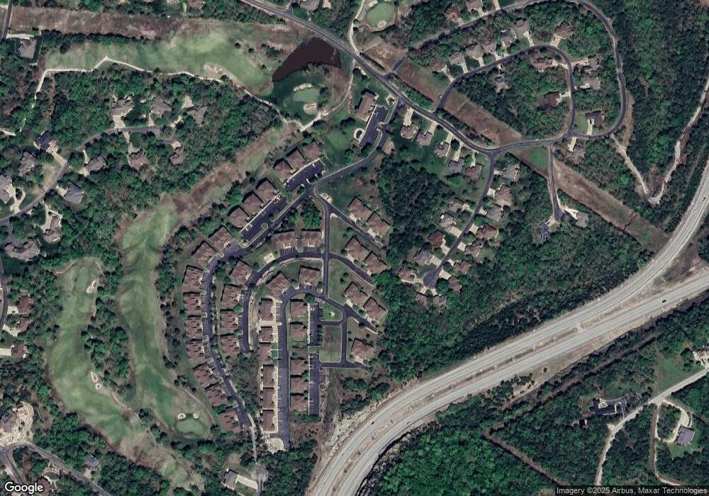
Map
Nearby Homes
- 9 & 11 Bogey Ln
- 15 Fade Ln
- 1071 Golf Dr Unit 5
- 1101 Golf Dr Unit 2
- 1081 Golf Dr Unit 6
- 1091 Golf Dr Unit 1
- 5 Bermuda Dr Unit 2
- 5 Bermuda Dr Unit 5
- 1001 Golf Dr Unit 21
- 1001 Golf Dr Unit 15
- 71 Birdie Ln Unit 3
- 9 Bermuda Dr Unit 3
- 1201 Golf Dr Unit 2
- 7 Par Ln Unit 5
- Lot 28 Crossing Dr
- Lot 37 Crossing Dr
- Lot 32 Crossing Dr
- 1241 Golf Dr
- 115 Bunker Dr Unit 2
- 115 Bunker Dr Unit 1
- 15 Slice Dr
- 13 Slice Dr Unit 39
- 31 Slice Dr Unit 1
- 35 Bogey Ln
- 35 Bogey Ln Unit 1
- 33 Slice Dr Unit 2
- 33 Slice Dr
- 15 -1 Birdie Ln
- 11 Bogey Ln Unit 2
- 11 Bogey Ln
- 11 Bogey Ln Unit 1
- 9 & 11 Bogey Ln Unit 2
- 9 Bunker Drive 2
- 37 Bogey Ln
- 37 Bogey Ln Unit 2
- 15 Birdie Ln Unit 1
- 15 Birdie Ln Unit 3
- 15 Birdie Ln
- 15 Birdie Ln Unit 2
- 9 Bunker Dr Unit 2