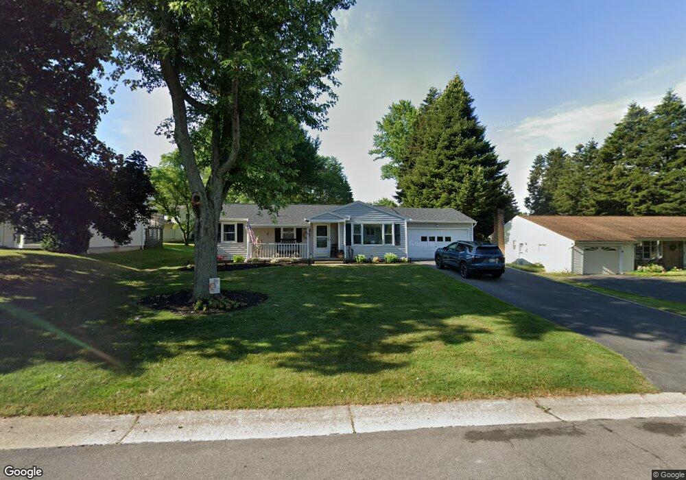
15 Sperry Dr Henrietta, NY 14467
Estimated Value: $290,882 - $306,000
3
Beds
2
Baths
1,170
Sq Ft
$253/Sq Ft
Est. Value
About This Home
This home is located at 15 Sperry Dr, Henrietta, NY 14467 and is currently estimated at $295,721, approximately $252 per square foot. 15 Sperry Dr is a home located in Monroe County with nearby schools including Floyd S. Winslow Elementary School, Charles H. Roth Junior High School, and Rush-Henrietta Senior High School.
Ownership History
Date
Name
Owned For
Owner Type
Purchase Details
Closed on
Oct 7, 2024
Sold by
Peeler Larry A and Peeler Susan
Bought by
Kinard Michael Allen and Weiser Melissia M
Current Estimated Value
Home Financials for this Owner
Home Financials are based on the most recent Mortgage that was taken out on this home.
Original Mortgage
$280,321
Outstanding Balance
$277,374
Interest Rate
6.35%
Mortgage Type
FHA
Estimated Equity
$18,347
Purchase Details
Closed on
Jun 12, 2003
Sold by
Raiber Brent E
Bought by
Hinton Matthew
Create a Home Valuation Report for This Property
The Home Valuation Report is an in-depth analysis detailing your home's value as well as a comparison with similar homes in the area
Home Values in the Area
Average Home Value in this Area
Purchase History
| Date | Buyer | Sale Price | Title Company |
|---|---|---|---|
| Kinard Michael Allen | $290,000 | Flower City Abstract | |
| Hinton Matthew | $159,900 | William Creary |
Source: Public Records
Mortgage History
| Date | Status | Borrower | Loan Amount |
|---|---|---|---|
| Open | Kinard Michael Allen | $280,321 |
Source: Public Records
Tax History Compared to Growth
Tax History
| Year | Tax Paid | Tax Assessment Tax Assessment Total Assessment is a certain percentage of the fair market value that is determined by local assessors to be the total taxable value of land and additions on the property. | Land | Improvement |
|---|---|---|---|---|
| 2024 | $4,749 | $187,000 | $37,000 | $150,000 |
| 2023 | $3,497 | $187,000 | $37,000 | $150,000 |
| 2022 | $4,175 | $170,000 | $37,000 | $133,000 |
| 2021 | $4,146 | $132,600 | $23,000 | $109,600 |
| 2020 | $3,537 | $132,600 | $23,000 | $109,600 |
| 2019 | $3,052 | $125,100 | $23,000 | $102,100 |
| 2018 | $3,132 | $113,700 | $23,000 | $90,700 |
| 2017 | $1,677 | $113,700 | $23,000 | $90,700 |
| 2016 | $3,052 | $113,700 | $23,000 | $90,700 |
| 2015 | -- | $113,700 | $23,000 | $90,700 |
| 2014 | -- | $113,700 | $23,000 | $90,700 |
Source: Public Records
Map
Nearby Homes
- 74 Ivory Way
- 65 Masthead Way
- 28 Campfire Rd S
- 53 Campfire Rd S
- 1138 Pinnacle Rd
- 75 Willowford Dr
- 63 Gate House Trail
- 135 Colony Ln
- 1108 Farnsworth Rd S
- 134 Goodburlet Rd
- 106 Blackwell Ln
- 22 Willowford Dr
- 87 Colony Ln
- 15 Parkglen Dr
- 9 Amesbury Rd
- 687 Pinnacle Rd
- 12 Nightfrost Ln
- 10 Kathy Dr
- 200 Blackwell Ln
- 90 Wildherd Dr