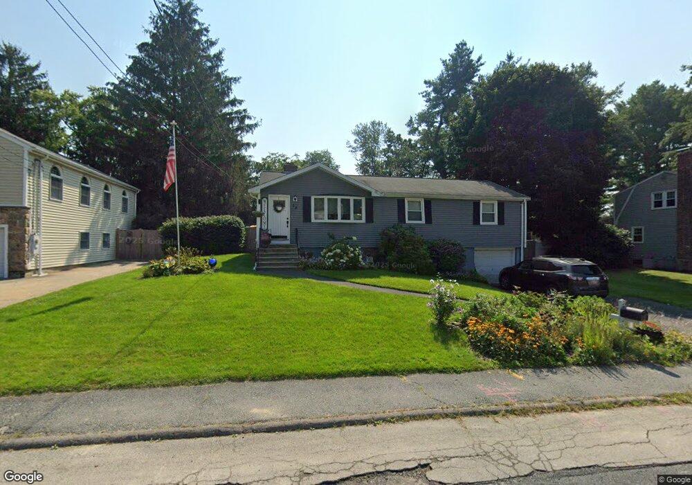
15 Standish Rd Bellingham, MA 02019
Estimated Value: $451,000 - $538,000
3
Beds
1
Bath
1,012
Sq Ft
$482/Sq Ft
Est. Value
About This Home
This home is located at 15 Standish Rd, Bellingham, MA 02019 and is currently estimated at $488,173, approximately $482 per square foot. 15 Standish Rd is a home located in Norfolk County with nearby schools including Stall Brook Elementary School, Bellingham High School, and Bethany Christian Academy.
Ownership History
Date
Name
Owned For
Owner Type
Purchase Details
Closed on
Nov 25, 1994
Sold by
Fhlmc
Bought by
Finnell Thomas F and Finnell Jeanette M
Current Estimated Value
Purchase Details
Closed on
Oct 5, 1994
Sold by
Sampson Kenneth A
Bought by
Fdic
Create a Home Valuation Report for This Property
The Home Valuation Report is an in-depth analysis detailing your home's value as well as a comparison with similar homes in the area
Home Values in the Area
Average Home Value in this Area
Purchase History
| Date | Buyer | Sale Price | Title Company |
|---|---|---|---|
| Finnell Thomas F | $98,000 | -- | |
| Fdic | $100,056 | -- | |
| Fdic | $100,056 | -- |
Source: Public Records
Mortgage History
| Date | Status | Borrower | Loan Amount |
|---|---|---|---|
| Open | Fdic | $28,000 | |
| Open | Fdic | $170,450 | |
| Closed | Fdic | $200,000 |
Source: Public Records
Tax History
| Year | Tax Paid | Tax Assessment Tax Assessment Total Assessment is a certain percentage of the fair market value that is determined by local assessors to be the total taxable value of land and additions on the property. | Land | Improvement |
|---|---|---|---|---|
| 2025 | $4,636 | $369,100 | $165,600 | $203,500 |
| 2024 | $4,443 | $345,500 | $151,200 | $194,300 |
| 2023 | $4,284 | $328,300 | $144,000 | $184,300 |
| 2022 | $4,145 | $294,400 | $120,100 | $174,300 |
| 2021 | $4,043 | $280,600 | $120,100 | $160,500 |
| 2020 | $3,770 | $265,100 | $120,100 | $145,000 |
| 2019 | $3,692 | $259,800 | $120,100 | $139,700 |
| 2018 | $3,405 | $236,300 | $115,500 | $120,800 |
| 2017 | $3,323 | $231,700 | $115,500 | $116,200 |
| 2016 | $3,187 | $223,000 | $113,500 | $109,500 |
| 2015 | $3,057 | $214,500 | $109,200 | $105,300 |
| 2014 | $3,062 | $208,900 | $106,600 | $102,300 |
Source: Public Records
Map
Nearby Homes
Your Personal Tour Guide
Ask me questions while you tour the home.