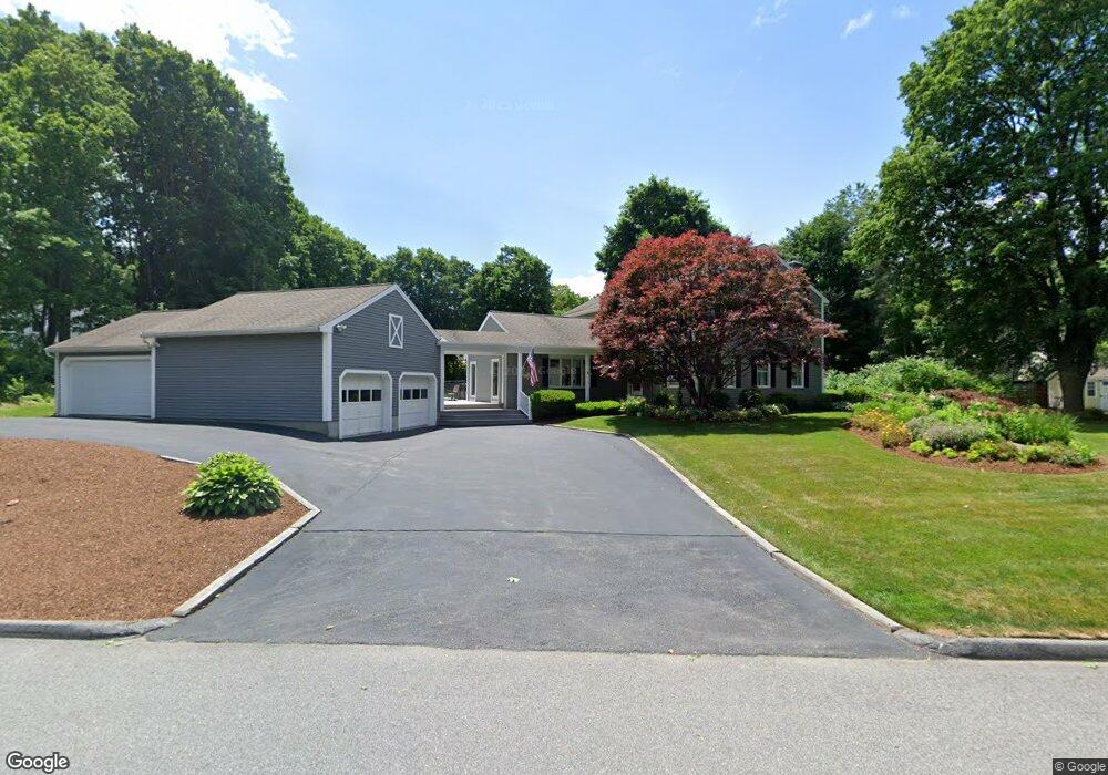
15 Stark Rd Worcester, MA 01602
West Tatnuck NeighborhoodEstimated Value: $621,000 - $1,111,000
4
Beds
3
Baths
3,527
Sq Ft
$237/Sq Ft
Est. Value
About This Home
This home is located at 15 Stark Rd, Worcester, MA 01602 and is currently estimated at $836,795, approximately $237 per square foot. 15 Stark Rd is a home located in Worcester County with nearby schools including West Tatnuck School, Chandler Magnet, and Jacob Hiatt Magnet School.
Create a Home Valuation Report for This Property
The Home Valuation Report is an in-depth analysis detailing your home's value as well as a comparison with similar homes in the area
Home Values in the Area
Average Home Value in this Area
Tax History
| Year | Tax Paid | Tax Assessment Tax Assessment Total Assessment is a certain percentage of the fair market value that is determined by local assessors to be the total taxable value of land and additions on the property. | Land | Improvement |
|---|---|---|---|---|
| 2025 | $10,917 | $827,700 | $121,900 | $705,800 |
| 2024 | $10,582 | $769,600 | $121,900 | $647,700 |
| 2023 | $10,290 | $717,600 | $106,300 | $611,300 |
| 2022 | $9,658 | $635,000 | $85,500 | $549,500 |
| 2021 | $9,551 | $586,700 | $68,900 | $517,800 |
| 2020 | $9,481 | $557,700 | $68,800 | $488,900 |
| 2019 | $9,576 | $532,000 | $62,500 | $469,500 |
| 2018 | $9,432 | $498,800 | $61,800 | $437,000 |
| 2017 | $9,418 | $490,000 | $61,800 | $428,200 |
| 2016 | $9,779 | $474,500 | $47,300 | $427,200 |
| 2015 | $9,523 | $474,500 | $47,300 | $427,200 |
| 2014 | $9,272 | $474,500 | $47,300 | $427,200 |
Source: Public Records
Map
Nearby Homes
- 9 Newburn Rd
- 53 Tiverton Pkwy
- 23 Tiverton Pkwy
- 21 Baxter St
- 44 Drexel St
- 21 Brewster Rd
- 122 Copperfield Rd
- 15 Chesterfield Rd
- 148A Tory Fort Ln
- 10 Edwidge St
- 118 Beaconsfield Rd
- 10 Wrentham Rd Unit 308
- 47R Yarnie Unit 1B
- 47R Yarnie Unit 4A
- 47R Yarnie Unit 1A
- 70 Moreland Green Dr
- 19 Assabet Ln
- 163 Moreland St
- 121 Bailey St Unit D31
- 73 Moore Ave
Your Personal Tour Guide
Ask me questions while you tour the home.