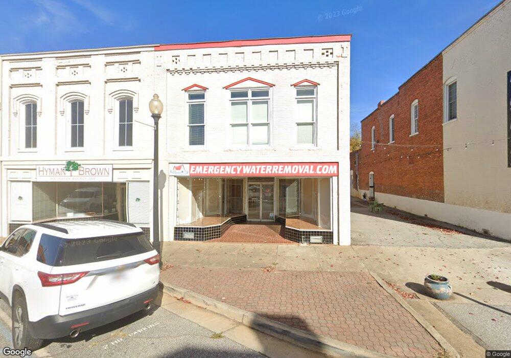
15 State St Commerce, GA 30529
Commerce Township Downtown NeighborhoodEstimated Value: $126,947
--
Bed
--
Bath
6,760
Sq Ft
$19/Sq Ft
Est. Value
About This Home
This home is located at 15 State St, Commerce, GA 30529 and is currently estimated at $126,947, approximately $18 per square foot. 15 State St is a home located in Jackson County with nearby schools including Commerce Primary School, Commerce Elementary School, and Commerce Middle School.
Ownership History
Date
Name
Owned For
Owner Type
Purchase Details
Closed on
Oct 6, 2016
Bought by
Property Claims Solutions Llc
Current Estimated Value
Purchase Details
Closed on
Oct 23, 2014
Sold by
The Reny Co Llc
Bought by
Cornerstone Land Grp Llc
Purchase Details
Closed on
Jun 4, 2013
Sold by
Elrod Donald T Sheriff
Bought by
Great Western Holding Inc
Purchase Details
Closed on
May 20, 2005
Sold by
Brown Don R
Bought by
The Reny Company Llc
Create a Home Valuation Report for This Property
The Home Valuation Report is an in-depth analysis detailing your home's value as well as a comparison with similar homes in the area
Home Values in the Area
Average Home Value in this Area
Purchase History
| Date | Buyer | Sale Price | Title Company |
|---|---|---|---|
| Property Claims Solutions Llc | $59,900 | -- | |
| Cornerstone Land Grp Llc | -- | -- | |
| Great Western Holding Inc | $51,000 | -- | |
| The Reny Company Llc | $150,000 | -- |
Source: Public Records
Tax History Compared to Growth
Tax History
| Year | Tax Paid | Tax Assessment Tax Assessment Total Assessment is a certain percentage of the fair market value that is determined by local assessors to be the total taxable value of land and additions on the property. | Land | Improvement |
|---|---|---|---|---|
| 2024 | $982 | $35,560 | $15,680 | $19,880 |
| 2023 | $982 | $34,520 | $15,680 | $18,840 |
| 2022 | $703 | $21,680 | $4,680 | $17,000 |
| 2021 | $753 | $23,280 | $4,680 | $18,600 |
| 2020 | $783 | $21,600 | $4,680 | $16,920 |
| 2019 | $794 | $21,600 | $4,680 | $16,920 |
| 2018 | $1,125 | $30,880 | $4,680 | $26,200 |
| 2017 | $858 | $23,128 | $4,704 | $18,424 |
| 2016 | $862 | $23,128 | $4,704 | $18,424 |
| 2015 | $827 | $21,702 | $5,440 | $16,262 |
| 2014 | $1,960 | $21,702 | $5,440 | $16,262 |
| 2013 | -- | $50,994 | $4,984 | $46,010 |
Source: Public Records
Map
Nearby Homes
- 174 Cherry St
- 244 State St
- 0 Waterworks Rd Unit 10513923
- 0 Waterworks Rd Unit 23426056
- 164 Laura Ln
- 27 Andy Ct
- 173 Baugh St
- 2140 N Broad St
- 109 Baugh St
- 361 Elizabeth St
- 80 Baugh St
- 229 Homer Rd
- 270 Victoria St
- 2280 N Broad St
- 172 Scott St
- 1269 S Elm St
- 45 Williford St
- 0 Scott St Unit 10629815
- 0 Ridgeway St
- 248 Highland Estates
- 1766 N Broad St
- 25 State St
- 1744 N Broad St
- 1774 N Broad St
- 0 Highway 82 and Apple Valley Rd
- 0 Highway 82
- 0 Highway 82 and Apple Valley Rd Unit 8044024
- 0 Highway 82 and Apple Valley Rd Unit 7637030
- 0 Highway 82 and Apple Valley Rd Unit 7586848
- 0 Highway 82 and Apple Valley Rd Unit 8145371
- W Georgia 98
- 1782 N Broad St
- 0 Line St Unit 8952561
- 0 Starke Poplar Unit 3271744
- 56 Line St
- 1732 N Broad St Unit ONE
- 1732 N Broad St
- 1730 N Broad St
- 47 State St
- 41 State St