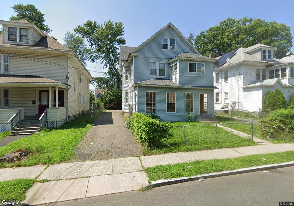
15 Sterling St Unit 17 Hartford, CT 06112
Upper Albany NeighborhoodEstimated Value: $318,536 - $476,000
8
Beds
3
Baths
3,215
Sq Ft
$120/Sq Ft
Est. Value
About This Home
This home is located at 15 Sterling St Unit 17, Hartford, CT 06112 and is currently estimated at $384,884, approximately $119 per square foot. 15 Sterling St Unit 17 is a home located in Hartford County with nearby schools including Rawson School, Noah Webster Micro Society School, and McKinley School.
Ownership History
Date
Name
Owned For
Owner Type
Purchase Details
Closed on
Dec 4, 1989
Sold by
Smith Barbara L
Bought by
Joseph Caruer D
Current Estimated Value
Create a Home Valuation Report for This Property
The Home Valuation Report is an in-depth analysis detailing your home's value as well as a comparison with similar homes in the area
Home Values in the Area
Average Home Value in this Area
Purchase History
| Date | Buyer | Sale Price | Title Company |
|---|---|---|---|
| Joseph Caruer D | $94,000 | -- |
Source: Public Records
Mortgage History
| Date | Status | Borrower | Loan Amount |
|---|---|---|---|
| Open | Joseph Caruer D | $102,000 | |
| Closed | Joseph Caruer D | $13,290 | |
| Closed | Joseph Caruer D | $104,200 |
Source: Public Records
Tax History Compared to Growth
Tax History
| Year | Tax Paid | Tax Assessment Tax Assessment Total Assessment is a certain percentage of the fair market value that is determined by local assessors to be the total taxable value of land and additions on the property. | Land | Improvement |
|---|---|---|---|---|
| 2025 | $4,941 | $71,663 | $3,859 | $67,804 |
| 2024 | $4,941 | $71,663 | $3,859 | $67,804 |
| 2023 | $4,941 | $71,663 | $3,859 | $67,804 |
| 2022 | $5,420 | $78,609 | $3,859 | $74,750 |
| 2021 | $3,658 | $49,245 | $3,360 | $45,885 |
| 2020 | $3,658 | $49,245 | $3,360 | $45,885 |
| 2019 | $3,658 | $49,245 | $3,360 | $45,885 |
| 2018 | $3,535 | $47,585 | $3,247 | $44,338 |
| 2016 | $3,427 | $46,125 | $3,092 | $43,033 |
| 2015 | $3,264 | $43,934 | $2,946 | $40,988 |
| 2014 | $3,184 | $42,860 | $2,874 | $39,986 |
Source: Public Records
Map
Nearby Homes
- 8 Sterling St
- 364 Woodland St
- 290 Sargeant St Unit 292
- 240 Sargeant St
- 68 Sterling St Unit 70
- 78-80 Cabot St
- 52 Atwood St Unit 3B
- 4 Deerfield Ave
- 25 May St
- 131-135,137-145,119- Albany Ave
- 10 Burton St Unit 12
- 96 Sargeant St Unit 98
- 251 Collins St
- 62 Burton St
- 16 Townley St Unit G3
- 59 Magnolia St
- 171 Edgewood St Unit 173
- 33 Sargeant St
- 141 Greenfield St
- 134 Magnolia St Unit 136
- 11 Sterling St
- 79 Sterling St
- 7 Sterling St
- 301-303 S Zion St S
- 5 Sterling St Unit 5A
- 55A Sterling St
- 19 Sterling St Unit 21
- 13 Sterling St
- 24 Sterling St Unit 26
- 14 Oakland Terrace Unit 16
- 4 Sterling St Unit 216 Homestead
- 4 Sterling St Unit 3N
- 4 Sterling St Unit 1N
- 4 Sterling St
- 1 Sterling St
- 10 Oakland Terrace Unit 12
- 27 Sterling St Unit 29
- 20 Sterling St Unit 22
- 212 Homestead Ave
- 210 Homestead Ave