15 Stevie Ln North Berwick, ME 03906
Estimated Value: $413,000 - $494,000
3
Beds
2
Baths
1,264
Sq Ft
$355/Sq Ft
Est. Value
About This Home
This home is located at 15 Stevie Ln, North Berwick, ME 03906 and is currently estimated at $449,211, approximately $355 per square foot. 15 Stevie Ln is a home located in York County with nearby schools including Noble High School.
Ownership History
Date
Name
Owned For
Owner Type
Purchase Details
Closed on
Jun 28, 2018
Sold by
Poore Eli
Bought by
Hall Bruce
Current Estimated Value
Purchase Details
Closed on
Nov 23, 2010
Sold by
Sargent Marion S
Bought by
Poore Eli
Home Financials for this Owner
Home Financials are based on the most recent Mortgage that was taken out on this home.
Original Mortgage
$163,440
Interest Rate
4.3%
Mortgage Type
FHA
Create a Home Valuation Report for This Property
The Home Valuation Report is an in-depth analysis detailing your home's value as well as a comparison with similar homes in the area
Home Values in the Area
Average Home Value in this Area
Purchase History
| Date | Buyer | Sale Price | Title Company |
|---|---|---|---|
| Hall Bruce | -- | -- | |
| Poore Eli | -- | -- | |
| Poore Eli | -- | -- |
Source: Public Records
Mortgage History
| Date | Status | Borrower | Loan Amount |
|---|---|---|---|
| Previous Owner | Poore Eli | $163,440 | |
| Previous Owner | Poore Eli | $34,100 |
Source: Public Records
Tax History Compared to Growth
Tax History
| Year | Tax Paid | Tax Assessment Tax Assessment Total Assessment is a certain percentage of the fair market value that is determined by local assessors to be the total taxable value of land and additions on the property. | Land | Improvement |
|---|---|---|---|---|
| 2024 | $3,498 | $349,800 | $147,500 | $202,300 |
| 2023 | $3,133 | $291,400 | $115,800 | $175,600 |
| 2022 | $2,900 | $260,100 | $110,800 | $149,300 |
| 2021 | $2,782 | $255,200 | $110,800 | $144,400 |
| 2020 | $2,760 | $231,900 | $100,500 | $131,400 |
| 2019 | $2,750 | $222,700 | $96,300 | $126,400 |
| 2018 | $2,749 | $213,100 | $96,400 | $116,700 |
| 2017 | $2,685 | $213,100 | $96,400 | $116,700 |
| 2016 | $2,685 | $213,100 | $96,400 | $116,700 |
| 2015 | $2,685 | $213,100 | $96,400 | $116,700 |
| 2013 | $2,653 | $213,100 | $96,400 | $116,700 |
Source: Public Records
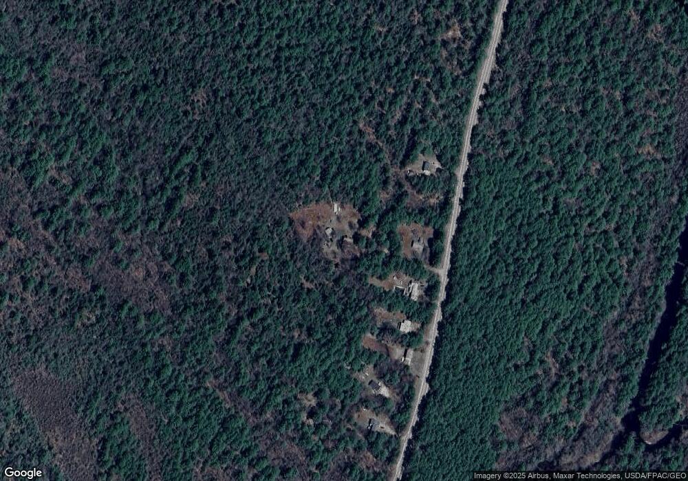
Map
Nearby Homes
- 578 Little River Rd
- 309 Long Swamp Rd
- 10 Arlene Ln
- TBD Long Swamp Rd
- 39 Ali Pond Rd
- 47C Spirit Wind Farm Rd
- 262 Little River Rd
- 128 Long Swamp Rd
- 33-10G Lakota Rd
- 214 Center Rd
- 250 Lower Cross Rd
- 96 Little River Rd
- 160 Lower Cross Rd
- 84 Little River Rd
- Lot 29-8.1 Bauneg Beg Hill Rd
- MR7L96C Scarlet Way
- 2 Rizzo Rd
- 0 Old Ledge Rd
- 514 Upper Guinea Rd
- 593 Ford Quint Rd
- 6 Stevie Ln
- 35 Little River Rd
- 57 Little River Rd
- 29 Little River Rd
- 23 Little River Rd
- 19 Little River Rd
- 7 Little River Rd
- 11 Little River Rd
- 0 Little River Rd
- 387 Little River Rd
- 377 Little River Rd
- 105 Little River Rd
- 1539 Lebanon Rd
- 1549 Lebanon Rd
- 125 Little River Rd
- 133 Little River Rd
- 122 Little River Rd
- 17 Dillingham Rd
- 375 Little River Rd
- 12 Dillingham Rd