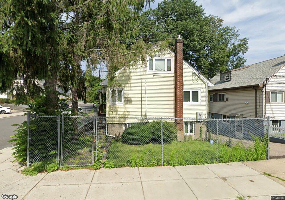
15 Stow Rd Mattapan, MA 02126
Southern Mattapan NeighborhoodEstimated Value: $784,968 - $875,000
5
Beds
3
Baths
1,771
Sq Ft
$466/Sq Ft
Est. Value
About This Home
This home is located at 15 Stow Rd, Mattapan, MA 02126 and is currently estimated at $824,742, approximately $465 per square foot. 15 Stow Rd is a home located in Suffolk County with nearby schools including Berea Seventh-day Adventist Academy.
Ownership History
Date
Name
Owned For
Owner Type
Purchase Details
Closed on
Jul 22, 1999
Sold by
Thompson Rickie and Thompson Pamela M
Bought by
Thompson Cynthia
Current Estimated Value
Home Financials for this Owner
Home Financials are based on the most recent Mortgage that was taken out on this home.
Original Mortgage
$120,350
Interest Rate
7.49%
Mortgage Type
Purchase Money Mortgage
Create a Home Valuation Report for This Property
The Home Valuation Report is an in-depth analysis detailing your home's value as well as a comparison with similar homes in the area
Home Values in the Area
Average Home Value in this Area
Purchase History
| Date | Buyer | Sale Price | Title Company |
|---|---|---|---|
| Thompson Cynthia | $155,000 | -- |
Source: Public Records
Mortgage History
| Date | Status | Borrower | Loan Amount |
|---|---|---|---|
| Open | Thompson Cynthia | $192,000 | |
| Closed | Thompson Cynthia | $25,000 | |
| Closed | Thompson Cynthia | $120,350 | |
| Closed | Thompson Cynthia | $32,100 |
Source: Public Records
Tax History Compared to Growth
Tax History
| Year | Tax Paid | Tax Assessment Tax Assessment Total Assessment is a certain percentage of the fair market value that is determined by local assessors to be the total taxable value of land and additions on the property. | Land | Improvement |
|---|---|---|---|---|
| 2025 | $7,836 | $676,700 | $142,300 | $534,400 |
| 2024 | $6,773 | $621,400 | $141,600 | $479,800 |
| 2023 | $6,179 | $575,300 | $131,100 | $444,200 |
| 2022 | $6,259 | $575,300 | $131,100 | $444,200 |
| 2021 | $5,791 | $542,700 | $123,700 | $419,000 |
| 2020 | $4,930 | $466,900 | $108,400 | $358,500 |
| 2019 | $4,393 | $416,800 | $82,000 | $334,800 |
| 2018 | $4,120 | $393,100 | $82,000 | $311,100 |
| 2017 | $4,002 | $377,900 | $82,000 | $295,900 |
| 2016 | $3,885 | $353,200 | $82,000 | $271,200 |
| 2015 | $3,696 | $305,200 | $81,700 | $223,500 |
| 2014 | $3,428 | $272,500 | $81,700 | $190,800 |
Source: Public Records
Map
Nearby Homes
- 30 Glenhill Rd
- 15-17 W Selden St
- 808 Morton St Unit 3
- 124 Selden St
- 139 Selden St
- 18 Astoria St
- 23 Maryknoll St
- 32 Crowell St
- 147 Fairmount St
- 157 Delhi St
- 44 Evans St
- 10 Sutton St
- 73 Stanton St
- 32 Violet St
- 68 Mascot St
- 5 Sutton St
- 5 Sutton St Unit 3B
- 567B Norfolk St
- 84-86 Codman Hill Ave
- 251 Norfolk St Unit A