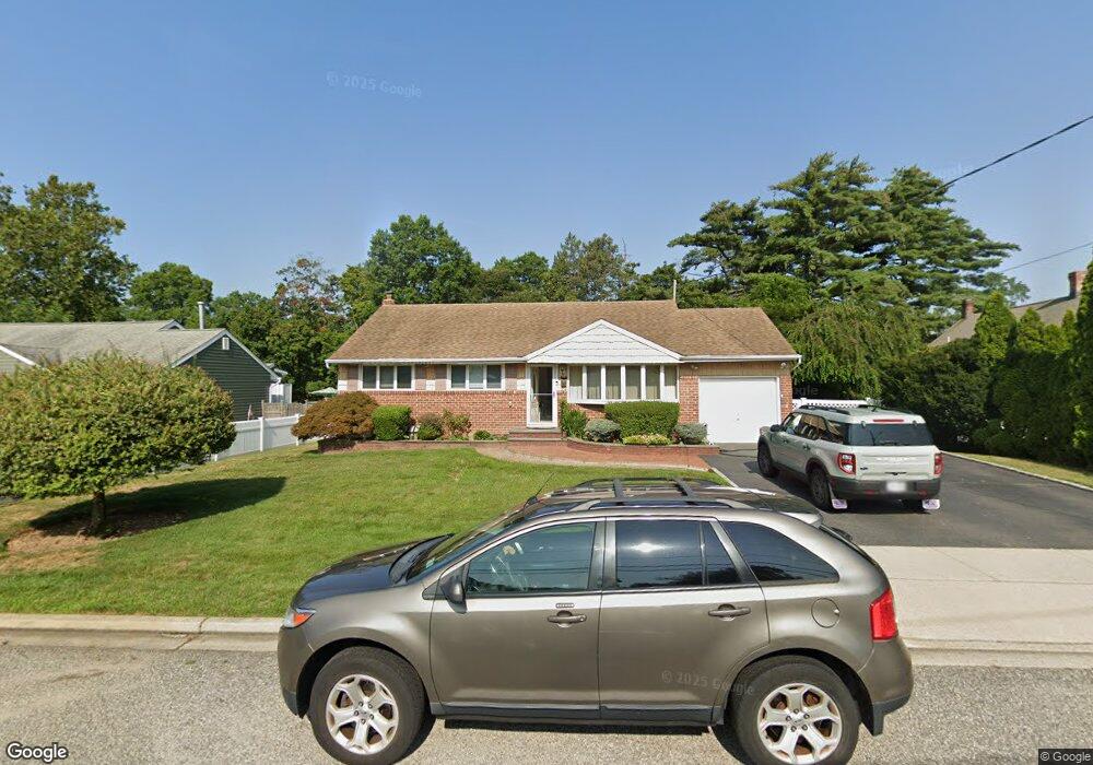
15 Stymus Ave Bethpage, NY 11714
Estimated Value: $773,431 - $782,000
Studio
2
Baths
1,243
Sq Ft
$626/Sq Ft
Est. Value
About This Home
This home is located at 15 Stymus Ave, Bethpage, NY 11714 and is currently estimated at $777,716, approximately $625 per square foot. 15 Stymus Ave is a home located in Nassau County with nearby schools including Charles Campagne Elementary School, John F Kennedy Middle School, and Bethpage Senior High School.
Ownership History
Date
Name
Owned For
Owner Type
Purchase Details
Closed on
Feb 17, 2005
Sold by
Yamond Thomas
Bought by
Okeefe Gerard
Current Estimated Value
Purchase Details
Closed on
Oct 11, 1995
Sold by
Defilippo Michael
Bought by
Yamond Thomas and Yamond Arlene
Home Financials for this Owner
Home Financials are based on the most recent Mortgage that was taken out on this home.
Original Mortgage
$152,000
Interest Rate
7.6%
Create a Home Valuation Report for This Property
The Home Valuation Report is an in-depth analysis detailing your home's value as well as a comparison with similar homes in the area
Home Values in the Area
Average Home Value in this Area
Purchase History
| Date | Buyer | Sale Price | Title Company |
|---|---|---|---|
| Okeefe Gerard | $510,000 | -- | |
| Yamond Thomas | $190,000 | -- |
Source: Public Records
Mortgage History
| Date | Status | Borrower | Loan Amount |
|---|---|---|---|
| Previous Owner | Yamond Thomas | $152,000 |
Source: Public Records
Tax History
| Year | Tax Paid | Tax Assessment Tax Assessment Total Assessment is a certain percentage of the fair market value that is determined by local assessors to be the total taxable value of land and additions on the property. | Land | Improvement |
|---|---|---|---|---|
| 2025 | $12,227 | $438 | $274 | $164 |
| 2024 | $4,199 | $443 | $277 | $166 |
| 2023 | $12,393 | $476 | $297 | $179 |
| 2022 | $12,393 | $464 | $290 | $174 |
| 2021 | $11,955 | $456 | $285 | $171 |
| 2020 | $11,795 | $704 | $480 | $224 |
| 2019 | $11,266 | $913 | $622 | $291 |
| 2018 | $13,690 | $913 | $0 | $0 |
| 2017 | $7,354 | $913 | $622 | $291 |
| 2016 | $12,046 | $913 | $622 | $291 |
| 2015 | $4,139 | $913 | $622 | $291 |
| 2014 | $4,139 | $913 | $622 | $291 |
| 2013 | $3,753 | $913 | $622 | $291 |
Source: Public Records
Map
Nearby Homes
- 4 Manchester Dr
- 7 Cambridge Ave
- 5 Totten St
- 12 E Millpage Dr
- 3 Chapin Rd
- 14 Hoover Ln
- 17 Wilson Ln
- 54 S 1st St
- 2 Hamilton St
- 623 Stewart Ave
- 38 Bradford Ln
- 4792 Hempstead Turnpike
- 94 Harrison Ave
- 106 Harrison Ave
- 14 W Chestnut St
- 7 East Ct
- 32 Stratford Green
- 4030 Avoca Ave
- 136 Harrison Ave
- 22 Sherman Ave
Your Personal Tour Guide
Ask me questions while you tour the home.