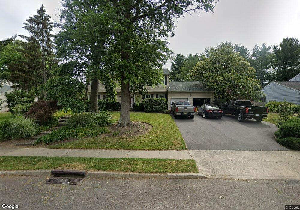
15 Suffolk Ln Princeton Junction, NJ 08550
Estimated Value: $955,076 - $1,072,000
--
Bed
--
Bath
2,475
Sq Ft
$405/Sq Ft
Est. Value
About This Home
This home is located at 15 Suffolk Ln, Princeton Junction, NJ 08550 and is currently estimated at $1,001,269, approximately $404 per square foot. 15 Suffolk Ln is a home located in Mercer County with nearby schools including Maurice Hawk Elementary School, Millstone River School, and Thomas R. Grover Middle School.
Ownership History
Date
Name
Owned For
Owner Type
Purchase Details
Closed on
Oct 6, 1999
Sold by
Niblo John
Bought by
Foster Jerome and Waters Sharon
Current Estimated Value
Purchase Details
Closed on
Sep 20, 1996
Sold by
Bevis J Ross
Bought by
Niblo John E and Niblo Laurette M
Home Financials for this Owner
Home Financials are based on the most recent Mortgage that was taken out on this home.
Original Mortgage
$216,000
Interest Rate
7.9%
Mortgage Type
Purchase Money Mortgage
Create a Home Valuation Report for This Property
The Home Valuation Report is an in-depth analysis detailing your home's value as well as a comparison with similar homes in the area
Home Values in the Area
Average Home Value in this Area
Purchase History
| Date | Buyer | Sale Price | Title Company |
|---|---|---|---|
| Foster Jerome | $336,000 | -- | |
| Niblo John E | $270,000 | -- |
Source: Public Records
Mortgage History
| Date | Status | Borrower | Loan Amount |
|---|---|---|---|
| Previous Owner | Niblo John E | $216,000 |
Source: Public Records
Tax History Compared to Growth
Tax History
| Year | Tax Paid | Tax Assessment Tax Assessment Total Assessment is a certain percentage of the fair market value that is determined by local assessors to be the total taxable value of land and additions on the property. | Land | Improvement |
|---|---|---|---|---|
| 2025 | $18,016 | $587,800 | $262,500 | $325,300 |
| 2024 | $17,264 | $587,800 | $262,500 | $325,300 |
| 2023 | $17,264 | $587,800 | $262,500 | $325,300 |
| 2022 | $16,929 | $587,800 | $262,500 | $325,300 |
| 2021 | $16,788 | $587,800 | $262,500 | $325,300 |
| 2020 | $16,482 | $587,800 | $262,500 | $325,300 |
| 2019 | $16,294 | $587,800 | $262,500 | $325,300 |
| 2018 | $16,141 | $587,800 | $262,500 | $325,300 |
| 2017 | $15,806 | $587,800 | $262,500 | $325,300 |
| 2016 | $15,465 | $587,800 | $262,500 | $325,300 |
| 2015 | $15,106 | $587,800 | $262,500 | $325,300 |
| 2014 | $14,930 | $587,800 | $262,500 | $325,300 |
Source: Public Records
Map
Nearby Homes
- 20 Berkshire Dr
- 3103 Justin Dr
- 1005 Justin Dr Unit 1002
- 2902 Justin Dr
- 1402 Justin Dr Unit 1403
- 3102 Justin Dr
- 2904 Justin Dr Unit 2903
- 1402 Justin Dr
- 1002 Justin Dr Unit 1005
- 2902 Justin Dr Unit 2905
- 3102 Justin Dr Unit 3104
- 1005 Justin Dr
- 1004 Justin Dr
- 1002 Justin Dr
- 1004 Justin Dr Unit 1003
- 2904 Justin Dr
- 2 Joanne St
- 90 Princeton Hightstown Rd
- 103 Harris Rd
- 951 Alexander Rd
- 17 Suffolk Ln
- 11 Suffolk Ln
- 17 Landing Ln
- 19 Landing Ln
- 19 Suffolk Ln
- 9 Suffolk Ln
- 25 Sherbrooke Dr
- 15 Landing Ln
- 28 Sherbrooke Dr
- 28 Sherbrooke Dr
- 21 Landing Ln
- 7 Suffolk Ln
- 8 Suffolk Ln
- 23 Sherbrooke Dr
- 21 Suffolk Ln
- 26 Sherbrooke Dr
- 11B Landing Ln Unit B
- 11B Landing Ln
- 11 Landing Ln
- 11 Landing Ln Unit B