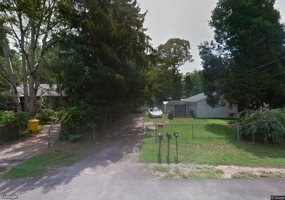
15 Sumac Rd Glen Burnie, MD 21060
Estimated Value: $304,198 - $556,000
--
Bed
--
Bath
1,050
Sq Ft
$364/Sq Ft
Est. Value
About This Home
This home is located at 15 Sumac Rd, Glen Burnie, MD 21060 and is currently estimated at $382,050, approximately $363 per square foot. 15 Sumac Rd is a home located in Anne Arundel County with nearby schools including Marley Elementary School, Marley Middle School, and Glen Burnie High School.
Ownership History
Date
Name
Owned For
Owner Type
Purchase Details
Closed on
Nov 30, 2020
Sold by
Ouellette Gaye M and Estate Of Clarence N Ouellette
Bought by
Hd Enterprises Us Llc
Current Estimated Value
Home Financials for this Owner
Home Financials are based on the most recent Mortgage that was taken out on this home.
Original Mortgage
$140,000
Interest Rate
2.6%
Mortgage Type
Future Advance Clause Open End Mortgage
Purchase Details
Closed on
Jan 24, 1986
Sold by
Stegall Roy W
Bought by
Ouellette Clarence
Home Financials for this Owner
Home Financials are based on the most recent Mortgage that was taken out on this home.
Original Mortgage
$72,660
Interest Rate
10.97%
Create a Home Valuation Report for This Property
The Home Valuation Report is an in-depth analysis detailing your home's value as well as a comparison with similar homes in the area
Home Values in the Area
Average Home Value in this Area
Purchase History
| Date | Buyer | Sale Price | Title Company |
|---|---|---|---|
| Hd Enterprises Us Llc | $175,000 | Sage Title Group Llc | |
| Ouellette Clarence | $85,000 | -- |
Source: Public Records
Mortgage History
| Date | Status | Borrower | Loan Amount |
|---|---|---|---|
| Previous Owner | Hd Enterprises Us Llc | $140,000 | |
| Previous Owner | Ouellette Clarence | $72,660 |
Source: Public Records
Tax History Compared to Growth
Tax History
| Year | Tax Paid | Tax Assessment Tax Assessment Total Assessment is a certain percentage of the fair market value that is determined by local assessors to be the total taxable value of land and additions on the property. | Land | Improvement |
|---|---|---|---|---|
| 2025 | $3,057 | $197,700 | $125,900 | $71,800 |
| 2024 | $3,057 | $196,433 | $0 | $0 |
| 2023 | $2,131 | $195,167 | $0 | $0 |
| 2022 | $2,798 | $193,900 | $130,900 | $63,000 |
| 2021 | $2,757 | $190,067 | $0 | $0 |
| 2020 | $2,633 | $186,233 | $0 | $0 |
| 2019 | $2,595 | $182,400 | $120,900 | $61,500 |
| 2018 | $1,653 | $163,033 | $0 | $0 |
| 2017 | $1,958 | $143,667 | $0 | $0 |
| 2016 | -- | $124,300 | $0 | $0 |
| 2015 | -- | $119,633 | $0 | $0 |
| 2014 | -- | $114,967 | $0 | $0 |
Source: Public Records
Map
Nearby Homes
- 0 Bertram Ave Unit MDAA2112598
- 103 Henson Rd
- 32 1st Ave
- 7739 Overhill Rd
- 818 Barbara Ct
- 7834 Shellye Rd
- 7677 Mueller Dr
- 206 Sandsbury Ave
- 7626 3rd Ave
- 7851 Shellye Rd
- 307 Norman Ave
- 7644 Spencer Rd
- 7703 Meath Ct
- 376 Jamie Ct
- 24 Mcguirk Dr
- 100 Sandsbury Ave
- 905 Blakistone Rd
- 7911 Ritchie Hwy
- 0 Hartwell Rd
- 225 Shana Rd