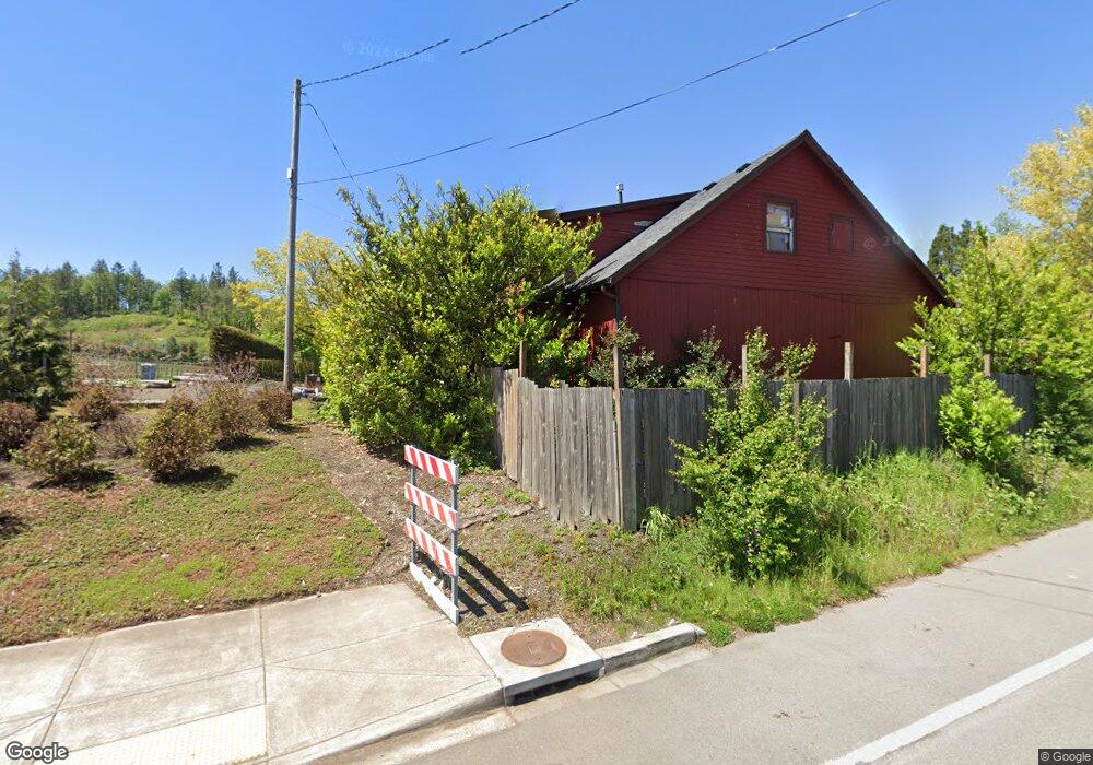
15 SW Miller Rd Portland, OR 97225
Estimated Value: $782,000
4
Beds
2
Baths
2,306
Sq Ft
$339/Sq Ft
Est. Value
About This Home
This home is located at 15 SW Miller Rd, Portland, OR 97225 and is currently estimated at $782,000, approximately $339 per square foot. 15 SW Miller Rd is a home located in Washington County with nearby schools including West Tualatin View Elementary School, Cedar Park Middle School, and Beaverton High School.
Ownership History
Date
Name
Owned For
Owner Type
Purchase Details
Closed on
Mar 31, 2016
Sold by
Thomas Stephen and Thomas Karen
Bought by
Touchmark Heights Llc
Current Estimated Value
Home Financials for this Owner
Home Financials are based on the most recent Mortgage that was taken out on this home.
Original Mortgage
$560,000
Outstanding Balance
$346,274
Interest Rate
3.65%
Mortgage Type
Seller Take Back
Estimated Equity
$435,726
Purchase Details
Closed on
Jun 5, 2009
Sold by
Thomas Stephen
Bought by
Thomas Stephen and Thomas Karen
Create a Home Valuation Report for This Property
The Home Valuation Report is an in-depth analysis detailing your home's value as well as a comparison with similar homes in the area
Home Values in the Area
Average Home Value in this Area
Purchase History
| Date | Buyer | Sale Price | Title Company |
|---|---|---|---|
| Touchmark Heights Llc | -- | Wfg Title | |
| Thomas Stephen | -- | None Available |
Source: Public Records
Mortgage History
| Date | Status | Borrower | Loan Amount |
|---|---|---|---|
| Open | Touchmark Heights Llc | $560,000 |
Source: Public Records
Tax History Compared to Growth
Tax History
| Year | Tax Paid | Tax Assessment Tax Assessment Total Assessment is a certain percentage of the fair market value that is determined by local assessors to be the total taxable value of land and additions on the property. | Land | Improvement |
|---|---|---|---|---|
| 2025 | $5,140 | $283,820 | -- | -- |
| 2024 | $4,827 | $275,560 | -- | -- |
| 2023 | $4,827 | $267,540 | $0 | $0 |
| 2022 | $4,670 | $267,540 | $0 | $0 |
| 2021 | $4,502 | $252,190 | $0 | $0 |
| 2020 | $4,366 | $244,850 | $0 | $0 |
| 2019 | $4,224 | $237,720 | $0 | $0 |
| 2018 | $4,086 | $230,800 | $0 | $0 |
| 2017 | $3,939 | $224,080 | $0 | $0 |
| 2016 | $3,798 | $217,560 | $0 | $0 |
| 2015 | $3,652 | $211,230 | $0 | $0 |
| 2014 | $3,579 | $205,080 | $0 | $0 |
Source: Public Records
Map
Nearby Homes
- 120 SW Moonridge Place
- 290 SW Moonridge Place
- 100 NE Tuality Way NW
- 8588 SW Summit Ct
- 6827 SW Windemere Loop
- 655 SW 83rd Ave
- 6865 SW Windemere Loop
- 370 NW 81st Place
- 175 SW 85th Ave
- 645 SW Viewmont Dr
- 369 NW 81st Place
- 955 SW Summit View Dr
- 6665 W Burnside Rd Unit 438
- 6665 W Burnside Rd Unit 410
- 6665 W Burnside Rd Unit 447
- 6685 W Burnside St Unit 324
- 6685 W Burnside St Unit 350
- 6685 W Burnside St Unit 343
- 6685 W Burnside Rd Unit 310
- 499 NW Skyline Blvd
- 7725 W Stark St
- 7750 W Stark St
- 7755 W Stark St
- 152 NW Miller Rd
- 7715 SW Mayway Dr
- 300 SW Miller Rd
- 7785 W Stark St
- 8004 W Stark St
- 7800 SW Mayway Dr
- 8206 W Stark St
- 157 NW Miller Rd
- 155 NW Miller Rd
- 221 NW Miller Rd
- 7950 SW Mayway Dr
- 7804 SW Mayway Dr
- 151 NW Miller Rd
- 7900 SW Mayway Dr
- 160 NW Miller Rd
- 7810 SW Mayway Dr
- 281 NW Miller Rd