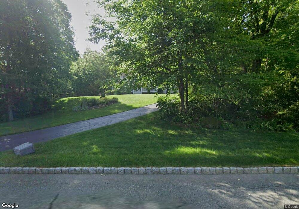
15 Tallyho Ln Newton, NJ 07860
Andover Township NeighborhoodEstimated Value: $646,000 - $730,256
--
Bed
--
Bath
2,862
Sq Ft
$241/Sq Ft
Est. Value
About This Home
This home is located at 15 Tallyho Ln, Newton, NJ 07860 and is currently estimated at $688,314, approximately $240 per square foot. 15 Tallyho Ln is a home located in Sussex County with nearby schools including Florence M. Burd School, Long Pond School, and Lakeland Andover School.
Ownership History
Date
Name
Owned For
Owner Type
Purchase Details
Closed on
Jan 18, 2001
Sold by
Deacon Homes Inc
Bought by
Brantis Richard C and Brantis Kristin M
Current Estimated Value
Home Financials for this Owner
Home Financials are based on the most recent Mortgage that was taken out on this home.
Original Mortgage
$310,800
Outstanding Balance
$114,508
Interest Rate
7.52%
Mortgage Type
Stand Alone First
Estimated Equity
$573,806
Create a Home Valuation Report for This Property
The Home Valuation Report is an in-depth analysis detailing your home's value as well as a comparison with similar homes in the area
Home Values in the Area
Average Home Value in this Area
Purchase History
| Date | Buyer | Sale Price | Title Company |
|---|---|---|---|
| Brantis Richard C | $388,520 | -- |
Source: Public Records
Mortgage History
| Date | Status | Borrower | Loan Amount |
|---|---|---|---|
| Open | Brantis Richard C | $310,800 |
Source: Public Records
Tax History Compared to Growth
Tax History
| Year | Tax Paid | Tax Assessment Tax Assessment Total Assessment is a certain percentage of the fair market value that is determined by local assessors to be the total taxable value of land and additions on the property. | Land | Improvement |
|---|---|---|---|---|
| 2025 | $15,795 | $374,900 | $110,900 | $264,000 |
| 2024 | $15,225 | $374,900 | $110,900 | $264,000 |
| 2023 | $15,225 | $374,900 | $110,900 | $264,000 |
| 2022 | $14,591 | $374,900 | $110,900 | $264,000 |
| 2021 | $14,381 | $374,900 | $110,900 | $264,000 |
| 2020 | $14,010 | $374,900 | $110,900 | $264,000 |
| 2019 | $13,684 | $374,900 | $110,900 | $264,000 |
| 2018 | $13,470 | $374,900 | $110,900 | $264,000 |
| 2017 | $13,181 | $374,900 | $110,900 | $264,000 |
| 2016 | $12,758 | $374,900 | $110,900 | $264,000 |
| 2015 | $14,252 | $400,100 | $84,400 | $315,700 |
| 2014 | $13,943 | $400,100 | $84,400 | $315,700 |
Source: Public Records
Map
Nearby Homes
- 17 Youngs Rd
- 285 Stickles Pond Rd
- 7 Martin St
- 15 Bernard Dr
- 0 Martin St
- 11 Betony Ct
- 5 Scenic Dr
- 208 Willows Rd
- 219 Woodside Ave
- 66 Paterson Ave
- 13 Hemlock Ave
- 68 & 70 Goodale Rd (5 9 Acres)
- 36 Paterson Ave
- 21 Carriage Ln Unit 21
- 40 Carriage Ln Unit 40
- 5 Babbitt Ct
- 70 Goodale Rd
- 76 Carriage Ln Unit 76
- 30 Linmor Ave
- 25 Prospect Ave