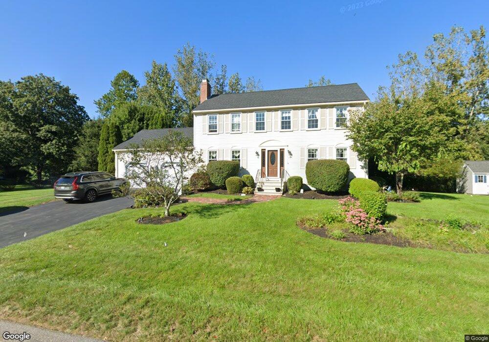
15 Temple St Medway, MA 02053
Estimated Value: $747,613 - $827,000
4
Beds
3
Baths
2,125
Sq Ft
$377/Sq Ft
Est. Value
About This Home
This home is located at 15 Temple St, Medway, MA 02053 and is currently estimated at $800,903, approximately $376 per square foot. 15 Temple St is a home located in Norfolk County with nearby schools including John D. McGovern Elementary School, Burke-Memorial Elementary, and Medway Middle School.
Ownership History
Date
Name
Owned For
Owner Type
Purchase Details
Closed on
Mar 21, 2008
Sold by
Hall Glenalea M and Hall Jerome J
Bought by
Lanoue Shannon R and Lanoue Timothy A
Current Estimated Value
Home Financials for this Owner
Home Financials are based on the most recent Mortgage that was taken out on this home.
Original Mortgage
$347,200
Interest Rate
5.75%
Mortgage Type
Purchase Money Mortgage
Purchase Details
Closed on
Sep 29, 1995
Sold by
Meadowoods Dev Corp
Bought by
Presicion Dev Inc
Create a Home Valuation Report for This Property
The Home Valuation Report is an in-depth analysis detailing your home's value as well as a comparison with similar homes in the area
Home Values in the Area
Average Home Value in this Area
Purchase History
| Date | Buyer | Sale Price | Title Company |
|---|---|---|---|
| Lanoue Shannon R | $434,000 | -- | |
| Presicion Dev Inc | $60,000 | -- |
Source: Public Records
Mortgage History
| Date | Status | Borrower | Loan Amount |
|---|---|---|---|
| Open | Presicion Dev Inc | $334,000 | |
| Closed | Presicion Dev Inc | $11,500 | |
| Closed | Presicion Dev Inc | $340,000 | |
| Closed | Lanoue Shannon R | $347,200 | |
| Previous Owner | Presicion Dev Inc | $110,000 |
Source: Public Records
Tax History Compared to Growth
Tax History
| Year | Tax Paid | Tax Assessment Tax Assessment Total Assessment is a certain percentage of the fair market value that is determined by local assessors to be the total taxable value of land and additions on the property. | Land | Improvement |
|---|---|---|---|---|
| 2025 | $9,707 | $681,200 | $324,100 | $357,100 |
| 2024 | $9,809 | $681,200 | $324,100 | $357,100 |
| 2023 | $9,774 | $613,200 | $295,000 | $318,200 |
| 2022 | $8,755 | $517,100 | $218,100 | $299,000 |
| 2021 | $8,693 | $497,900 | $203,600 | $294,300 |
| 2020 | $8,519 | $486,800 | $203,600 | $283,200 |
| 2019 | $8,045 | $474,100 | $195,300 | $278,800 |
| 2018 | $8,267 | $468,100 | $187,000 | $281,100 |
| 2017 | $8,310 | $463,700 | $187,000 | $276,700 |
| 2016 | $7,952 | $439,100 | $168,300 | $270,800 |
| 2015 | $7,617 | $417,600 | $166,200 | $251,400 |
| 2014 | $7,370 | $391,200 | $166,200 | $225,000 |
Source: Public Records
Map
Nearby Homes
- 176 Main St Unit 3
- 14 Heritage Dr
- 22 Sunset Dr
- 28 Wellington St
- 36 Lovering St
- 12 Lovering St
- 280 Village St Unit D2
- 5 Fales St
- 220 Main St Unit 220
- 4 Shaw St
- 3 Meryl St
- 6 Freedom Trail
- 106 Holliston St
- 21 Riverside Rd
- 50 Main St
- 19 Sycamore Way Unit L40
- 12 Longmeadow Ln
- 116 Winthrop St
- 20 Broad St Unit 6
- 20 Broad St Unit A