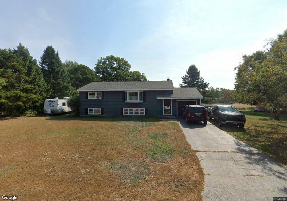
15 Thomas Dr Scarborough, ME 04074
Estimated Value: $524,000 - $699,000
2
Beds
1
Bath
1,356
Sq Ft
$445/Sq Ft
Est. Value
About This Home
This home is located at 15 Thomas Dr, Scarborough, ME 04074 and is currently estimated at $602,811, approximately $444 per square foot. 15 Thomas Dr is a home located in Cumberland County with nearby schools including Scarborough High School and Cornerstone Baptist Academy.
Ownership History
Date
Name
Owned For
Owner Type
Purchase Details
Closed on
Nov 3, 2008
Sold by
Macleod Elizabeth C
Bought by
Franck Michael J
Current Estimated Value
Home Financials for this Owner
Home Financials are based on the most recent Mortgage that was taken out on this home.
Original Mortgage
$247,662
Interest Rate
5.83%
Mortgage Type
FHA
Create a Home Valuation Report for This Property
The Home Valuation Report is an in-depth analysis detailing your home's value as well as a comparison with similar homes in the area
Home Values in the Area
Average Home Value in this Area
Purchase History
| Date | Buyer | Sale Price | Title Company |
|---|---|---|---|
| Franck Michael J | -- | -- |
Source: Public Records
Mortgage History
| Date | Status | Borrower | Loan Amount |
|---|---|---|---|
| Open | Franck Michael J | $252,150 | |
| Closed | Franck Michael J | $251,376 | |
| Closed | Franck Michael J | $247,662 |
Source: Public Records
Tax History Compared to Growth
Tax History
| Year | Tax Paid | Tax Assessment Tax Assessment Total Assessment is a certain percentage of the fair market value that is determined by local assessors to be the total taxable value of land and additions on the property. | Land | Improvement |
|---|---|---|---|---|
| 2024 | $5,170 | $473,000 | $233,800 | $239,200 |
| 2023 | $4,817 | $301,600 | $142,600 | $159,000 |
| 2022 | $4,642 | $301,600 | $142,600 | $159,000 |
| 2021 | $4,155 | $301,600 | $142,600 | $159,000 |
| 2020 | $4,110 | $301,600 | $142,600 | $159,000 |
| 2019 | $4,434 | $301,600 | $142,600 | $159,000 |
| 2017 | $3,722 | $262,500 | $158,600 | $103,900 |
| 2016 | $3,680 | $262,500 | $158,600 | $103,900 |
| 2015 | $4,066 | $262,500 | $158,600 | $103,900 |
| 2014 | $3,964 | $262,500 | $158,600 | $103,900 |
| 2013 | -- | $262,500 | $158,600 | $103,900 |
Source: Public Records
Map
Nearby Homes
- 23 Plover Ln Unit 33
- 1 Sandpiper Cove Rd
- 25 Atlantic Dr Unit 25
- 7 Atlantic Dr Unit 7
- 5 Highland Ave
- 5 Elbridge Oliver Way
- Lot 5 Trestle Way
- Lot 6 Trestle Way
- 29 Driftwood Ln
- 33 Massacre Ln
- 31 Massacre Ln
- 1 Coralburst Ln
- 24 Bayberry Ln
- 119 Fogg Rd
- 49 Seavey Landing Rd
- 3 King St Unit 4
- 11 Vista Dr
- 3 E Grand Ave
- 5 Traditional St
- 1 Teal Point Dr Unit 1