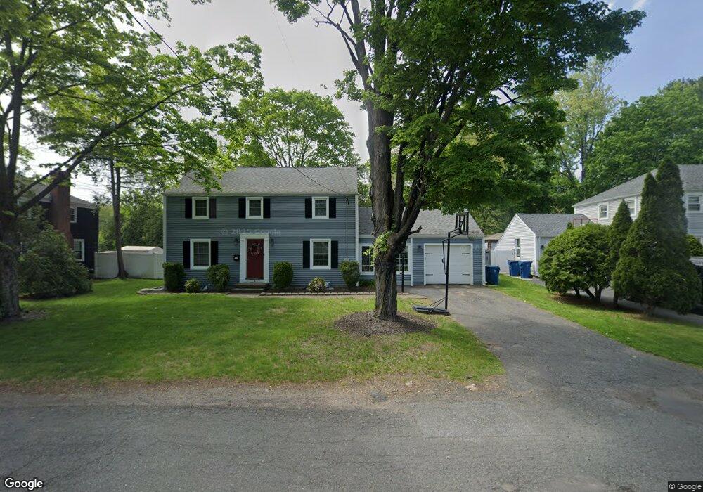
15 Thomas Dr West Springfield, MA 01089
Estimated Value: $342,062 - $365,000
3
Beds
2
Baths
1,536
Sq Ft
$232/Sq Ft
Est. Value
About This Home
This home is located at 15 Thomas Dr, West Springfield, MA 01089 and is currently estimated at $356,516, approximately $232 per square foot. 15 Thomas Dr is a home located in Hampden County with nearby schools including St Thomas The Apostle School.
Ownership History
Date
Name
Owned For
Owner Type
Purchase Details
Closed on
Feb 20, 2018
Sold by
Katz Allison
Bought by
Mogavero Anthony and Mogavero Allison
Current Estimated Value
Home Financials for this Owner
Home Financials are based on the most recent Mortgage that was taken out on this home.
Original Mortgage
$165,300
Outstanding Balance
$117,305
Interest Rate
3.95%
Mortgage Type
New Conventional
Estimated Equity
$239,211
Purchase Details
Closed on
Jun 24, 2004
Sold by
Langlois Christopher and Kane Richard J
Bought by
Katz Allison and Mogavero Anthony
Home Financials for this Owner
Home Financials are based on the most recent Mortgage that was taken out on this home.
Original Mortgage
$200,900
Interest Rate
6.32%
Mortgage Type
Purchase Money Mortgage
Purchase Details
Closed on
Apr 9, 2004
Sold by
Kaynor Barbara G
Bought by
Langlois Christopher and Kane Richard J
Purchase Details
Closed on
Mar 31, 2004
Sold by
Kaynor Barbara G
Bought by
Langlois Christopher and Kane Richard J
Create a Home Valuation Report for This Property
The Home Valuation Report is an in-depth analysis detailing your home's value as well as a comparison with similar homes in the area
Home Values in the Area
Average Home Value in this Area
Purchase History
| Date | Buyer | Sale Price | Title Company |
|---|---|---|---|
| Mogavero Anthony | -- | -- | |
| Katz Allison | $200,900 | -- | |
| Langlois Christopher | $90,000 | -- | |
| Langlois Christopher | $90,000 | -- |
Source: Public Records
Mortgage History
| Date | Status | Borrower | Loan Amount |
|---|---|---|---|
| Open | Mogavero Anthony | $165,300 | |
| Previous Owner | Katz Allison | $200,900 |
Source: Public Records
Tax History Compared to Growth
Tax History
| Year | Tax Paid | Tax Assessment Tax Assessment Total Assessment is a certain percentage of the fair market value that is determined by local assessors to be the total taxable value of land and additions on the property. | Land | Improvement |
|---|---|---|---|---|
| 2025 | $4,091 | $275,100 | $99,100 | $176,000 |
| 2024 | $3,874 | $261,600 | $99,100 | $162,500 |
| 2023 | $3,784 | $243,500 | $97,000 | $146,500 |
| 2022 | $3,451 | $219,000 | $88,100 | $130,900 |
| 2021 | $3,351 | $198,300 | $81,400 | $116,900 |
| 2020 | $3,357 | $197,600 | $81,400 | $116,200 |
| 2019 | $3,351 | $197,600 | $81,400 | $116,200 |
| 2018 | $3,197 | $187,500 | $81,400 | $106,100 |
| 2017 | $3,197 | $187,500 | $81,400 | $106,100 |
| 2016 | $3,136 | $184,600 | $76,400 | $108,200 |
| 2015 | $3,079 | $181,200 | $75,000 | $106,200 |
| 2014 | $747 | $181,200 | $75,000 | $106,200 |
Source: Public Records
Map
Nearby Homes
- 23 Thomas Dr
- 9 Thomas Dr
- 1218 Westfield St
- 1248 Westfield St
- 1244 Westfield St
- 31 Thomas Dr
- 20 Thomas Dr
- 14 Thomas Dr
- 28 Thomas Dr
- 39 Thomas Dr
- 1201 Westfield St
- 1233 Westfield St Unit 5
- 1233 Westfield St Unit B
- 1233 Westfield St Unit 2 Rear
- 1233 Westfield St Unit 2 Front
- 1233 Westfield St Unit 1 Rear
- 1233 Westfield St Unit 2F
- 1233 Westfield St Unit suite 4
- 1233 Westfield St Unit suite 2
- 1282 Westfield St