15 Thorwald Place Unit NA Yarmouth Port, MA 02675
Yarmouth Port NeighborhoodEstimated Value: $911,908 - $960,000
3
Beds
3
Baths
1,768
Sq Ft
$525/Sq Ft
Est. Value
About This Home
This home is located at 15 Thorwald Place Unit NA, Yarmouth Port, MA 02675 and is currently estimated at $928,227, approximately $525 per square foot. 15 Thorwald Place Unit NA is a home located in Barnstable County with nearby schools including Dennis-Yarmouth Regional High School, St. Pius X. School, and Trinity Christian Academy of Cape Cod.
Ownership History
Date
Name
Owned For
Owner Type
Purchase Details
Closed on
Sep 27, 2025
Sold by
Mutarelli Philip C and Mutarelli Danielle G
Bought by
Walsh Timothy C and Morbrlli-Walsh Anna
Current Estimated Value
Purchase Details
Closed on
Aug 23, 2022
Sold by
Waring Patricia and Dantonio William R
Bought by
Mutarelli Philip C and Mutarelli Danielle G
Purchase Details
Closed on
Oct 19, 2018
Sold by
Waring Patricia
Bought by
Waring Patricia and Dantonio William R
Purchase Details
Closed on
Dec 1, 2011
Sold by
Fnma
Bought by
Dantonio William M and Waring Patricia
Home Financials for this Owner
Home Financials are based on the most recent Mortgage that was taken out on this home.
Original Mortgage
$295,450
Interest Rate
4.1%
Mortgage Type
Purchase Money Mortgage
Purchase Details
Closed on
Jun 29, 2011
Sold by
Esposito Ronald and Wells Fargo Bank Na
Bought by
Federal National Mortgage Association
Purchase Details
Closed on
May 30, 1997
Sold by
Est Townsend Charles L and Townsend Sybil K
Bought by
Thorwald Pl Rt and Esposito Kathie Lynn
Create a Home Valuation Report for This Property
The Home Valuation Report is an in-depth analysis detailing your home's value as well as a comparison with similar homes in the area
Home Values in the Area
Average Home Value in this Area
Purchase History
| Date | Buyer | Sale Price | Title Company |
|---|---|---|---|
| Walsh Timothy C | $925,000 | -- | |
| Mutarelli Philip C | $783,000 | None Available | |
| Waring Patricia | -- | -- | |
| Dantonio William M | $311,000 | -- | |
| Dantonio William M | $311,000 | -- | |
| Federal National Mortgage Association | $340,546 | -- | |
| Federal National Mortgage Association | $340,546 | -- | |
| Thorwald Pl Rt | $169,500 | -- |
Source: Public Records
Mortgage History
| Date | Status | Borrower | Loan Amount |
|---|---|---|---|
| Previous Owner | Dantonio William M | $295,450 | |
| Previous Owner | Thorwald Pl Rt | $322,700 |
Source: Public Records
Tax History Compared to Growth
Tax History
| Year | Tax Paid | Tax Assessment Tax Assessment Total Assessment is a certain percentage of the fair market value that is determined by local assessors to be the total taxable value of land and additions on the property. | Land | Improvement |
|---|---|---|---|---|
| 2025 | $5,153 | $727,800 | $264,000 | $463,800 |
| 2024 | $5,010 | $678,800 | $252,700 | $426,100 |
| 2023 | $4,925 | $607,300 | $229,600 | $377,700 |
| 2022 | $4,445 | $484,200 | $183,400 | $300,800 |
| 2021 | $4,324 | $452,300 | $197,300 | $255,000 |
| 2020 | $4,384 | $438,400 | $210,900 | $227,500 |
| 2019 | $4,091 | $405,000 | $210,900 | $194,100 |
| 2018 | $4,071 | $395,600 | $201,500 | $194,100 |
| 2017 | $3,964 | $395,600 | $201,500 | $194,100 |
| 2016 | $3,948 | $395,600 | $201,500 | $194,100 |
| 2015 | $4,081 | $406,500 | $201,500 | $205,000 |
Source: Public Records
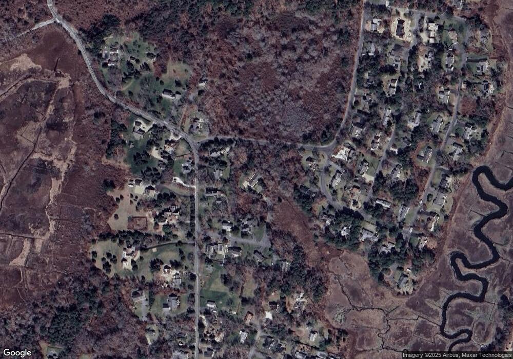
Map
Nearby Homes
- 23 Dauphine Dr
- 24 Minnetuxet Way
- 2 Pine Grove
- 30 W Woods Cir Unit 30
- 30 W Woods
- 7 Forest Gate Unit 7
- 371 Route 6a
- 25 Oak Glen
- 25 Oak Glen Village Unit 25
- 17 Kates Path Unit A
- 228 Kates Path
- 50 John Hall Cartway
- 50 John Hall Cartway Unit 50
- 43 Canterbury Rd
- 34 Kates Path
- 34 Kates Path Unit 34
- 42 John Hall Cartway Unit 42
- 1 Barnacle Rd
- 64 Kates Path
- 933-935 W Yarmouth Rd
- 15A Thorwald Place
- 12 Homers Dock Rd
- 9 Thorwald Place
- 200 Center St
- 22 Homers Dock Rd
- 194 Center St
- 4 Homers Dock Rd
- 14 Forewind Rd
- 4 Forewind Rd
- 10 Lookout Rd
- 26 Homers Dock Rd
- 201 Center St
- 9 Forewind Rd
- 15 Forewind Rd
- 208 Center St
- 178 Center St
- 16 Lookout Rd
- 207 Center St
- 207 Center St
- 189 Center St