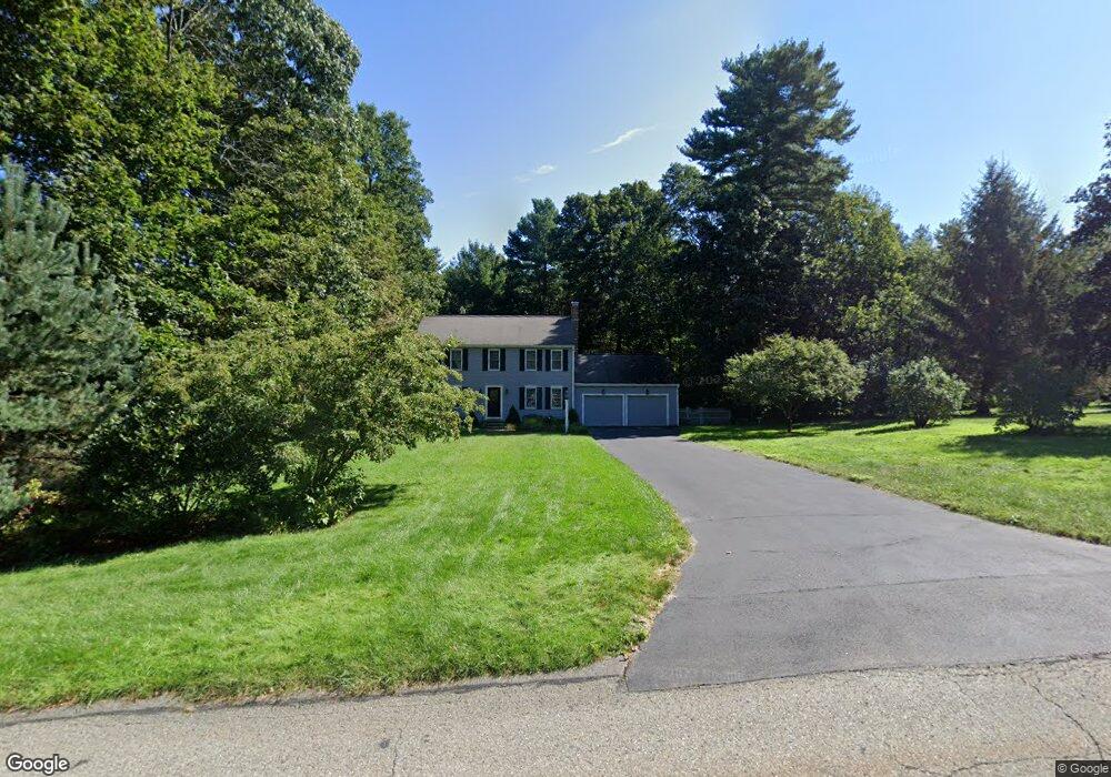
15 Tilting Rock Rd Wrentham, MA 02093
Estimated Value: $808,779 - $941,000
3
Beds
3
Baths
2,500
Sq Ft
$352/Sq Ft
Est. Value
About This Home
This home is located at 15 Tilting Rock Rd, Wrentham, MA 02093 and is currently estimated at $881,195, approximately $352 per square foot. 15 Tilting Rock Rd is a home located in Norfolk County with nearby schools including Delaney Elementary School, Charles E Roderick, and The Sage School.
Ownership History
Date
Name
Owned For
Owner Type
Purchase Details
Closed on
Jul 8, 2005
Sold by
Guenette Stephen M and Guenette Wendy P
Bought by
Derrico Robert S and Derrico June C
Current Estimated Value
Purchase Details
Closed on
Dec 28, 2001
Sold by
Piller Bruan R and Piller Joan M
Bought by
Guenette Stephen M and Guenette Wendy P
Home Financials for this Owner
Home Financials are based on the most recent Mortgage that was taken out on this home.
Original Mortgage
$239,900
Interest Rate
6.61%
Mortgage Type
Purchase Money Mortgage
Purchase Details
Closed on
Oct 23, 1996
Sold by
Lorusso Tr Gerard C
Bought by
Paliocca Ross K and Paliocca Lisa M
Create a Home Valuation Report for This Property
The Home Valuation Report is an in-depth analysis detailing your home's value as well as a comparison with similar homes in the area
Home Values in the Area
Average Home Value in this Area
Purchase History
| Date | Buyer | Sale Price | Title Company |
|---|---|---|---|
| Derrico Robert S | $531,500 | -- | |
| Guenette Stephen M | $389,900 | -- | |
| Paliocca Ross K | $80,000 | -- |
Source: Public Records
Mortgage History
| Date | Status | Borrower | Loan Amount |
|---|---|---|---|
| Previous Owner | Paliocca Ross K | $237,000 | |
| Previous Owner | Guenette Stephen M | $239,900 | |
| Previous Owner | Paliocca Ross K | $216,000 |
Source: Public Records
Tax History Compared to Growth
Tax History
| Year | Tax Paid | Tax Assessment Tax Assessment Total Assessment is a certain percentage of the fair market value that is determined by local assessors to be the total taxable value of land and additions on the property. | Land | Improvement |
|---|---|---|---|---|
| 2025 | $8,550 | $737,700 | $289,100 | $448,600 |
| 2024 | $8,155 | $679,600 | $289,100 | $390,500 |
| 2023 | $8,023 | $635,700 | $262,900 | $372,800 |
| 2022 | $7,652 | $559,800 | $245,300 | $314,500 |
| 2021 | $7,087 | $503,700 | $214,100 | $289,600 |
| 2020 | $7,215 | $506,300 | $190,400 | $315,900 |
| 2019 | $7,170 | $507,800 | $206,300 | $301,500 |
| 2018 | $6,694 | $470,100 | $206,400 | $263,700 |
| 2017 | $6,561 | $460,400 | $202,500 | $257,900 |
| 2016 | $6,422 | $449,700 | $196,600 | $253,100 |
| 2015 | $6,229 | $415,800 | $174,500 | $241,300 |
| 2014 | $6,126 | $400,100 | $167,800 | $232,300 |
Source: Public Records
Map
Nearby Homes
- 10 Nature View Dr
- 15 Nature View Dr
- 362 East St
- 319 Taunton St
- 1 Lorraine Metcalf Dr
- 270 Dedham St
- 131 Creek St Unit 7
- 11 Earle Stewart Ln
- Lot 3 - 14 Earle Stewart Ln
- Lot 1 - Blueberry 2 Car Plan at King Philip Estates
- Lot 8 - Blueberry 2 Car Plan at King Philip Estates
- Lot 5 - Hughes 2 car Plan at King Philip Estates
- Lot 6 - Blueberry 3 Car Plan at King Philip Estates
- Lot 2 - Camden 2 Car Plan at King Philip Estates
- Lot 7 - Cedar Plan at King Philip Estates
- Lot 4 - Hemingway 2 Car Plan at King Philip Estates
- Lot 3 - Blueberry 2 Car Plan at King Philip Estates
- 65 Pond St
- 120 Hawes St
- 483 Thurston St