Estimated Value: $202,329 - $240,000
About This Home
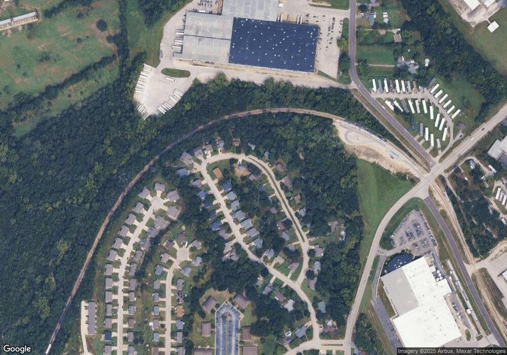
This home is located at 15 Timber Dr, Union, MO 63084 and is currently estimated at $220,332, approximately $270 per square foot. 15 Timber Dr is a home located in Franklin County with nearby schools including Union High School and Immaculate Conception School.
Ownership History
We collect this data history from publicly available records. To have your information removed, we recommend requesting removal directly through your county’s website.
Purchase Details
Home Financials for this Owner
Home Financials are based on the most recent Mortgage that was taken out on this home.Purchase Details
Home Financials for this Owner
Home Financials are based on the most recent Mortgage that was taken out on this home.Home Values in the Area
Average Home Value in this Area
Purchase History
We collect this data history from publicly available records. To have your information removed, we recommend requesting removal directly through your county’s website.
| Date | Buyer | Sale Price | Title Company |
|---|---|---|---|
| -- | None Available | ||
| -- | None Available |
Mortgage History
We collect this data history from publicly available records. To have your information removed, we recommend requesting removal directly through your county’s website.
| Date | Status | Borrower | Loan Amount |
|---|---|---|---|
| Open | $60,000 | ||
| Previous Owner | $101,851 |
Tax History
We collect this data history from publicly available records. To have your information removed, we recommend requesting removal directly through your county’s website.
| Year | Tax Paid | Tax Assessment Tax Assessment Total Assessment is a certain percentage of the fair market value that is determined by local assessors to be the total taxable value of land and additions on the property. | Land | Improvement |
|---|---|---|---|---|
| 2025 | $1,710 | $28,677 | $0 | $0 |
| 2024 | $1,710 | $23,649 | $0 | $0 |
| 2023 | $1,425 | $23,649 | $0 | $0 |
| 2022 | $1,278 | $21,162 | $0 | $0 |
| 2021 | $1,280 | $21,162 | $0 | $0 |
| 2020 | $1,184 | $19,264 | $0 | $0 |
| 2019 | $1,181 | $19,264 | $0 | $0 |
| 2018 | $1,078 | $18,453 | $0 | $0 |
| 2017 | $1,081 | $18,453 | $0 | $0 |
| 2016 | $1,069 | $17,833 | $0 | $0 |
| 2015 | $1,052 | $17,833 | $0 | $0 |
| 2014 | $1,054 | $17,851 | $0 | $0 |
Map
- 0 Heard Ct
- 609 W Roosevelt Ave
- 1300 N Washington Ave
- 1008 N Washington Ave
- 15 Richardson Dr
- 613 W State St
- 500 W End Ave
- 3762 Highway A
- 318 Central Ave
- 218 Grand Central Dr
- 414 Koelling Ave
- 626 Lindsey Dr
- 0 Lot 5 Clearview Dr Unit 19010510
- 0 Lot 3 Clearview Dr Unit MIS26011988
- 0 Lot 4 Clearview Dr Unit 19010507
- 0 Lot 6 Clearview Dr Unit 19010511
- 0 Clearview Unit 19010495
- 412 Macarthur Ave
- 0 Koko Beach Rd
- 417 Hall Ave
Ask me questions while you tour the home.