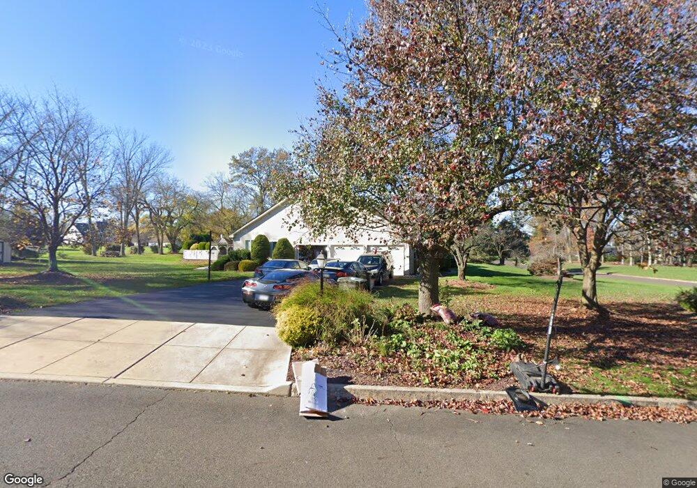
15 Timothy Dr Warminster, PA 18974
Estimated Value: $1,100,000 - $1,249,000
4
Beds
3
Baths
3,860
Sq Ft
$304/Sq Ft
Est. Value
About This Home
This home is located at 15 Timothy Dr, Warminster, PA 18974 and is currently estimated at $1,172,113, approximately $303 per square foot. 15 Timothy Dr is a home located in Bucks County with nearby schools including Maureen M. Welch Elementary School, Richboro Middle School, and Council Rock High School - South.
Ownership History
Date
Name
Owned For
Owner Type
Purchase Details
Closed on
Oct 13, 2000
Sold by
Dougherty James F and Dougherty Kathleen G
Bought by
Nessel Frank W and Nessel Lorraine J
Current Estimated Value
Home Financials for this Owner
Home Financials are based on the most recent Mortgage that was taken out on this home.
Original Mortgage
$252,700
Interest Rate
7.88%
Purchase Details
Closed on
May 27, 1992
Bought by
Dougherty James F and Dougherty Kathleen G
Create a Home Valuation Report for This Property
The Home Valuation Report is an in-depth analysis detailing your home's value as well as a comparison with similar homes in the area
Home Values in the Area
Average Home Value in this Area
Purchase History
| Date | Buyer | Sale Price | Title Company |
|---|---|---|---|
| Nessel Frank W | $465,000 | -- | |
| Dougherty James F | $385,000 | -- |
Source: Public Records
Mortgage History
| Date | Status | Borrower | Loan Amount |
|---|---|---|---|
| Closed | Nessel Frank W | $252,700 |
Source: Public Records
Tax History Compared to Growth
Tax History
| Year | Tax Paid | Tax Assessment Tax Assessment Total Assessment is a certain percentage of the fair market value that is determined by local assessors to be the total taxable value of land and additions on the property. | Land | Improvement |
|---|---|---|---|---|
| 2025 | $14,107 | $73,240 | $11,320 | $61,920 |
| 2024 | $14,107 | $73,240 | $11,320 | $61,920 |
| 2023 | $13,295 | $73,240 | $11,320 | $61,920 |
| 2022 | $13,174 | $73,240 | $11,320 | $61,920 |
| 2021 | $12,757 | $73,240 | $11,320 | $61,920 |
| 2020 | $12,470 | $73,240 | $11,320 | $61,920 |
| 2019 | $11,936 | $73,240 | $11,320 | $61,920 |
| 2018 | $11,724 | $73,240 | $11,320 | $61,920 |
| 2017 | $11,271 | $73,240 | $11,320 | $61,920 |
| 2016 | $11,271 | $73,240 | $11,320 | $61,920 |
| 2015 | -- | $73,240 | $11,320 | $61,920 |
| 2014 | -- | $73,240 | $11,320 | $61,920 |
Source: Public Records
Map
Nearby Homes
- 290 Hatboro Rd
- 8 Shady Pines Dr
- 3 Shady Pines Dr
- 223 Cecelia Acres Dr
- 23 Oxford Dr
- 105 Edwards Dr
- 18 Lacey Ln
- 59 Parry Way
- 8 Lacey Ln
- The Addis Plan at The Reserve at Spring Mill
- The Beckett Plan at The Reserve at Spring Mill
- 21 Spring Mill Dr Unit 12
- 55 Parry Way
- 11 Spring Mill Dr
- 9 Spring Mill Dr
- 56 Parry Way
- 56 Joshua Dr
- 29 Devon Rd
- 636 Almshouse Rd
- 215 Surrey Rd