15 Totten Ln Unit 1 Gloucester, MA 01930
West Gloucester NeighborhoodEstimated Value: $620,000 - $3,039,000
2
Beds
1
Bath
1,000
Sq Ft
$1,932/Sq Ft
Est. Value
About This Home
This home is located at 15 Totten Ln Unit 1, Gloucester, MA 01930 and is currently estimated at $1,932,494, approximately $1,932 per square foot. 15 Totten Ln Unit 1 is a home located in Essex County with nearby schools including West Parish and Ralph B O'maley Middle School.
Ownership History
Date
Name
Owned For
Owner Type
Purchase Details
Closed on
Aug 14, 2014
Sold by
Jane R Petersen Ret
Bought by
Petersen Christopher J and Petersen Jane R
Current Estimated Value
Purchase Details
Closed on
May 15, 2014
Sold by
Petersen Christopher J and Petersen Jane R
Bought by
Jane R Petersen Ret
Purchase Details
Closed on
Nov 13, 2012
Sold by
Totten Sarah B Est
Bought by
Petersen Christopher and Petersen Jane
Create a Home Valuation Report for This Property
The Home Valuation Report is an in-depth analysis detailing your home's value as well as a comparison with similar homes in the area
Home Values in the Area
Average Home Value in this Area
Purchase History
| Date | Buyer | Sale Price | Title Company |
|---|---|---|---|
| Petersen Christopher J | -- | -- | |
| Jane R Petersen Ret | -- | -- | |
| Petersen Christopher | $875,000 | -- |
Source: Public Records
Tax History Compared to Growth
Tax History
| Year | Tax Paid | Tax Assessment Tax Assessment Total Assessment is a certain percentage of the fair market value that is determined by local assessors to be the total taxable value of land and additions on the property. | Land | Improvement |
|---|---|---|---|---|
| 2025 | $22,026 | $2,266,100 | $1,428,900 | $837,200 |
| 2024 | $21,384 | $2,197,700 | $1,360,500 | $837,200 |
| 2023 | $20,030 | $1,891,400 | $1,160,600 | $730,800 |
| 2022 | $19,430 | $1,656,400 | $1,009,900 | $646,500 |
| 2021 | $18,807 | $1,511,800 | $917,300 | $594,500 |
| 2020 | $18,622 | $1,510,300 | $917,300 | $593,000 |
| 2019 | $17,752 | $1,398,900 | $874,700 | $524,200 |
| 2018 | $17,212 | $1,331,200 | $853,300 | $477,900 |
| 2017 | $12,550 | $951,500 | $812,800 | $138,700 |
| 2016 | $11,522 | $846,600 | $777,000 | $69,600 |
| 2015 | -- | $830,600 | $759,400 | $71,200 |
Source: Public Records
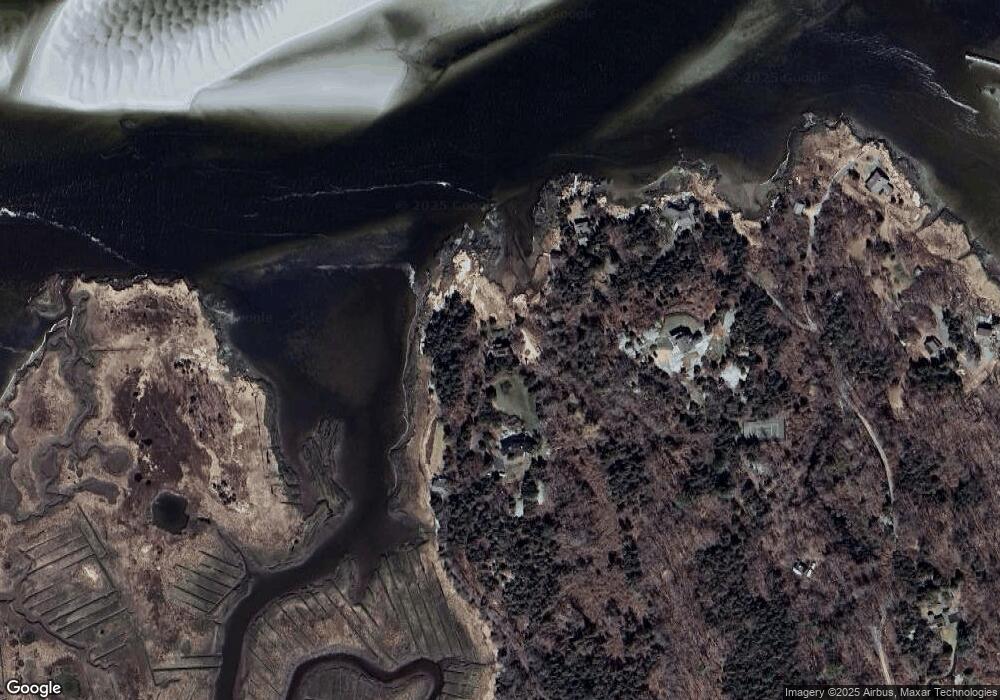
Map
Nearby Homes
- 30 Atlantic St
- 188 Atlantic St
- 11 Overlook Ave
- 226 Atlantic St
- 587 Essex Ave
- 139 Eastern Ave
- 368 Essex Ave
- 49 Thurston Point Rd
- 109 Riverview Rd
- 6 River Rd
- 5 Samoset Rd Unit A
- 227 Essex Ave
- 12 Woodward Ave
- 162 Main St
- 672 Washington St
- 53 Southern Ave
- 63 Southern Ave
- 90 Southern Ave Unit 90
- 145 Essex Ave Unit 610
- 1 Main St