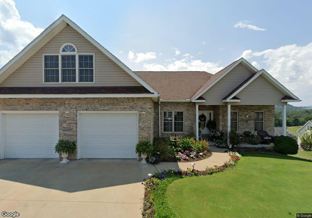
15 Twilite Ln Morgantown, WV 26501
Estimated Value: $366,000 - $468,000
4
Beds
3
Baths
2,576
Sq Ft
$161/Sq Ft
Est. Value
About This Home
This home is located at 15 Twilite Ln, Morgantown, WV 26501 and is currently estimated at $415,028, approximately $161 per square foot. 15 Twilite Ln is a home located in Monongalia County with nearby schools including Skyview Elementary School, Westwood Middle School, and University High School.
Ownership History
Date
Name
Owned For
Owner Type
Purchase Details
Closed on
Mar 14, 2023
Sold by
Lowther Sherri A
Bought by
Knouse Martin J
Current Estimated Value
Purchase Details
Closed on
Jun 29, 2006
Sold by
R & L Construction Inc
Bought by
Knouse Martin J and Lowther Sherri A
Home Financials for this Owner
Home Financials are based on the most recent Mortgage that was taken out on this home.
Original Mortgage
$342,000
Interest Rate
6.62%
Mortgage Type
Adjustable Rate Mortgage/ARM
Create a Home Valuation Report for This Property
The Home Valuation Report is an in-depth analysis detailing your home's value as well as a comparison with similar homes in the area
Home Values in the Area
Average Home Value in this Area
Purchase History
| Date | Buyer | Sale Price | Title Company |
|---|---|---|---|
| Knouse Martin J | -- | None Listed On Document | |
| Knouse Martin J | $360,000 | None Available |
Source: Public Records
Mortgage History
| Date | Status | Borrower | Loan Amount |
|---|---|---|---|
| Previous Owner | Knouse Martin J | $342,000 |
Source: Public Records
Tax History Compared to Growth
Tax History
| Year | Tax Paid | Tax Assessment Tax Assessment Total Assessment is a certain percentage of the fair market value that is determined by local assessors to be the total taxable value of land and additions on the property. | Land | Improvement |
|---|---|---|---|---|
| 2025 | $1,924 | $180,060 | $25,740 | $154,320 |
| 2024 | $1,924 | $181,680 | $25,740 | $155,940 |
| 2023 | $1,936 | $181,680 | $25,740 | $155,940 |
| 2022 | $1,831 | $178,620 | $25,500 | $153,120 |
| 2021 | $1,856 | $180,180 | $25,500 | $154,680 |
| 2020 | $1,864 | $180,180 | $25,500 | $154,680 |
| 2019 | $1,877 | $180,180 | $25,500 | $154,680 |
| 2018 | $1,900 | $181,800 | $25,500 | $156,300 |
| 2017 | $1,895 | $180,360 | $24,060 | $156,300 |
| 2016 | $1,781 | $168,420 | $22,020 | $146,400 |
| 2015 | $1,700 | $168,180 | $20,280 | $147,900 |
| 2014 | $1,594 | $165,300 | $19,440 | $145,860 |
Source: Public Records
Map
Nearby Homes
- 1021 Willis Dr
- 17 Brands Run Rd
- TBD Master Graphics Rd
- 316 Dye Ln
- 309 Dye Ln
- 322 Dye Ln
- 321 Dye Ln
- 330 Dye Ln
- Penwell Plan at Woodside Ridge
- Galen Plan at Woodside Ridge
- Bristol Plan at Woodside Ridge
- Lafayette Plan at Woodside Ridge
- 735 Hardman Dr
- 325 Dye Ln
- 329 Dye Ln
- 725 Hardman Dr
- 318 Dye Ln
- 723 Hardman Dr
- 315 Dye Ln
- 715 Hardman Dr
- 2 Duvall Ln
- 37 Price Hill Rd
- 50 Price Hill Rd
- 1229 River Rd
- 49 Price Hill Rd
- 58 Price Hill Rd
- 53 Price Hill Rd
- 1237 River Rd
- 63 Price Hill Rd
- 1214 River Rd
- 61 Price Hill Rd
- 1016 Willis Dr
- 1012 Willis Dr
- 66 Price Hill Rd
- 38 Price Hill Rd
- 1251 River Rd
- 76 Price Hill Rd
- 79 Price Hill Rd
- 1025 Willis Dr
- 1024 Willis Dr