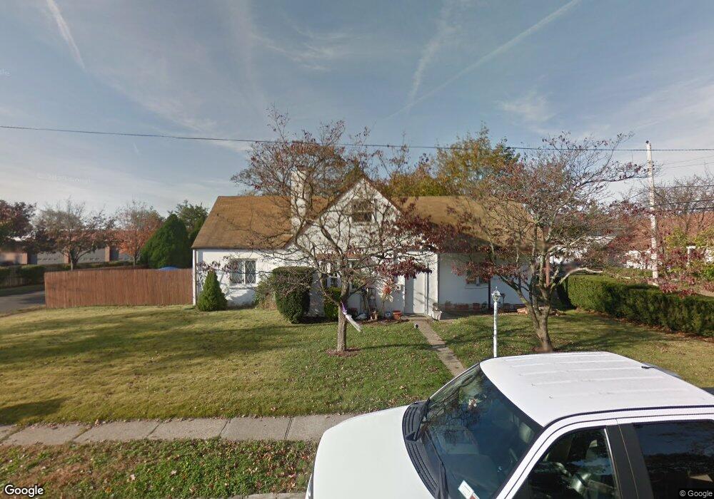
15 Union Rd Lindenhurst, NY 11757
Estimated Value: $574,000 - $677,000
4
Beds
2
Baths
975
Sq Ft
$642/Sq Ft
Est. Value
About This Home
This home is located at 15 Union Rd, Lindenhurst, NY 11757 and is currently estimated at $625,983, approximately $642 per square foot. 15 Union Rd is a home located in Suffolk County with nearby schools including William Rall School, Lindenhurst Middle School, and Lindenhurst Senior High School.
Ownership History
Date
Name
Owned For
Owner Type
Purchase Details
Closed on
Jul 1, 2003
Sold by
Doyle Joan M and Doyle Hugh
Bought by
Doyle Joan M and Hohenberger William
Current Estimated Value
Home Financials for this Owner
Home Financials are based on the most recent Mortgage that was taken out on this home.
Original Mortgage
$188,000
Outstanding Balance
$83,353
Interest Rate
5.83%
Mortgage Type
New Conventional
Estimated Equity
$542,630
Purchase Details
Closed on
Aug 15, 2001
Sold by
Rice Ronald J and Rice Jean M
Bought by
Doyle Joan M and Doyle Hugh
Home Financials for this Owner
Home Financials are based on the most recent Mortgage that was taken out on this home.
Original Mortgage
$167,350
Interest Rate
7.05%
Mortgage Type
FHA
Create a Home Valuation Report for This Property
The Home Valuation Report is an in-depth analysis detailing your home's value as well as a comparison with similar homes in the area
Home Values in the Area
Average Home Value in this Area
Purchase History
| Date | Buyer | Sale Price | Title Company |
|---|---|---|---|
| Doyle Joan M | -- | Venture Title | |
| Doyle Joan M | $170,000 | -- |
Source: Public Records
Mortgage History
| Date | Status | Borrower | Loan Amount |
|---|---|---|---|
| Open | Doyle Joan M | $188,000 | |
| Closed | Doyle Joan M | $167,350 |
Source: Public Records
Tax History
| Year | Tax Paid | Tax Assessment Tax Assessment Total Assessment is a certain percentage of the fair market value that is determined by local assessors to be the total taxable value of land and additions on the property. | Land | Improvement |
|---|---|---|---|---|
| 2024 | $11,762 | $2,960 | $425 | $2,535 |
| 2023 | $11,762 | $2,960 | $425 | $2,535 |
| 2022 | $10,258 | $2,960 | $425 | $2,535 |
| 2021 | $10,258 | $2,960 | $425 | $2,535 |
| 2020 | $10,665 | $2,960 | $425 | $2,535 |
| 2019 | $10,665 | $0 | $0 | $0 |
| 2018 | $10,253 | $2,960 | $425 | $2,535 |
| 2017 | $10,253 | $2,960 | $425 | $2,535 |
| 2016 | $10,238 | $2,960 | $425 | $2,535 |
| 2015 | -- | $2,960 | $425 | $2,535 |
| 2014 | -- | $2,960 | $425 | $2,535 |
Source: Public Records
Map
Nearby Homes
- 48 Farmers Ave
- 90 Winchester Dr
- 350 52nd St
- 0 Tenety Ave Unit 3461459
- 336 51st St
- 231 3rd St
- 64 Heathcote Rd
- 47 Sherbrooke Rd
- 449 52nd St
- 916 N Clinton Ave
- 449 51st St
- 334 Robbins St
- 456 48th St
- 847 N Clinton Ave
- 231 46th St
- 830 N Broome Ave
- 1012 N Ontario Ave
- 97 Berry St
- 696 N Delaware Ave
- 690 N Delaware Ave
- 23 Evergreen Dr
- 30 Laurel Rd
- 21 Evergreen Dr
- 20 Union Rd
- 26 Laurel Rd
- 19 Evergreen Dr
- 1642 Straight Path
- 20 Laurel Rd
- 17 Evergreen Dr
- 1646 Straight Path
- 44 Laurel Rd
- 18 Laurel Rd
- 18 Evergreen Dr
- 33 Laurel Rd
- 15 Evergreen Dr
- 25 Laurel Rd
- 16 Laurel Rd
- 16 Evergreen Dr
- 16 Evergreen Dr Unit 2
- 16 Evergreen Dr Unit 1
Your Personal Tour Guide
Ask me questions while you tour the home.