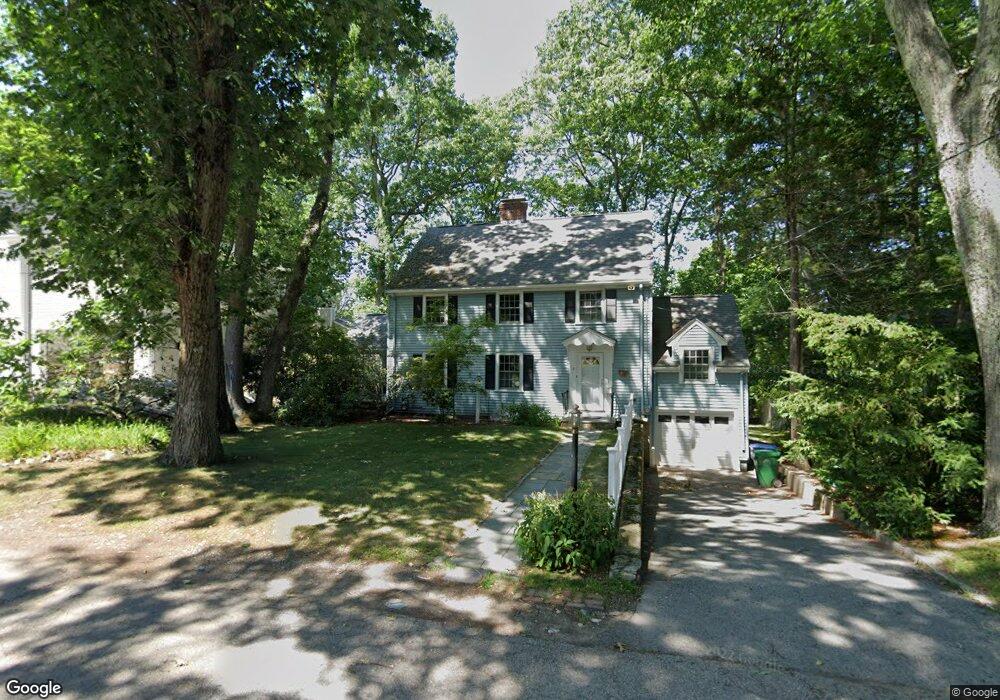
15 Verndale Rd Newton Highlands, MA 02461
Newton Highlands NeighborhoodEstimated Value: $1,327,446 - $1,587,000
3
Beds
3
Baths
1,916
Sq Ft
$755/Sq Ft
Est. Value
About This Home
This home is located at 15 Verndale Rd, Newton Highlands, MA 02461 and is currently estimated at $1,447,112, approximately $755 per square foot. 15 Verndale Rd is a home located in Middlesex County with nearby schools including Countryside Elementary School, Charles E Brown Middle School, and Newton South High School.
Ownership History
Date
Name
Owned For
Owner Type
Purchase Details
Closed on
Aug 5, 2025
Sold by
Sondermann Ruth and Sondermann Wayne Clarence
Bought by
Ruth Sondermann T and Ruth Sondermann
Current Estimated Value
Purchase Details
Closed on
Sep 26, 1997
Sold by
Haver Kenan and Wang Linda
Bought by
Wayne Clarence E and Sondermann Ruth
Purchase Details
Closed on
Jun 28, 1993
Sold by
Quiram Dena L and Johnson Sara H
Bought by
Haver Kenan and Wang Linda
Purchase Details
Closed on
Mar 19, 1987
Sold by
Ameigh Ann Y
Bought by
Johnson Eric A
Create a Home Valuation Report for This Property
The Home Valuation Report is an in-depth analysis detailing your home's value as well as a comparison with similar homes in the area
Home Values in the Area
Average Home Value in this Area
Purchase History
| Date | Buyer | Sale Price | Title Company |
|---|---|---|---|
| Ruth Sondermann T | -- | -- | |
| Wayne Clarence E | $346,000 | -- | |
| Wayne Clarence E | $346,000 | -- | |
| Haver Kenan | $309,750 | -- | |
| Haver Kenan | $309,750 | -- | |
| Johnson Eric A | $273,000 | -- |
Source: Public Records
Mortgage History
| Date | Status | Borrower | Loan Amount |
|---|---|---|---|
| Previous Owner | Johnson Eric A | $153,000 | |
| Previous Owner | Johnson Eric A | $268,500 |
Source: Public Records
Tax History Compared to Growth
Tax History
| Year | Tax Paid | Tax Assessment Tax Assessment Total Assessment is a certain percentage of the fair market value that is determined by local assessors to be the total taxable value of land and additions on the property. | Land | Improvement |
|---|---|---|---|---|
| 2025 | $11,340 | $1,157,100 | $903,400 | $253,700 |
| 2024 | $10,964 | $1,123,400 | $877,100 | $246,300 |
| 2023 | $10,341 | $1,015,800 | $668,800 | $347,000 |
| 2022 | $9,895 | $940,600 | $619,300 | $321,300 |
| 2021 | $9,548 | $887,400 | $584,200 | $303,200 |
| 2020 | $9,264 | $887,400 | $584,200 | $303,200 |
| 2019 | $9,004 | $861,600 | $567,200 | $294,400 |
| 2018 | $8,516 | $787,100 | $514,800 | $272,300 |
| 2017 | $8,257 | $742,500 | $485,700 | $256,800 |
| 2016 | $7,897 | $693,900 | $453,900 | $240,000 |
| 2015 | $7,515 | $647,300 | $424,200 | $223,100 |
Source: Public Records
Map
Nearby Homes
- 116 Upland Ave
- 1292 Walnut St
- 1308 Walnut St
- 250 Woodcliff Rd
- 3 Glenmore Terrace Unit 2
- 1629 Centre St
- 36 Cannon St
- 125 Oakdale Rd
- 1623-1625 Centre St
- 1597 Centre St Unit 1597
- 1597 Centre St
- 1151 Walnut St Unit 205
- 1151 Walnut St Unit 405
- 1151 Walnut St Unit 207
- 51 Carl St
- 200 Lincoln St
- 671 Boylston St
- 19 Selwyn Rd
- 1077 Boylston St
- 17 Circuit Ave Unit 2