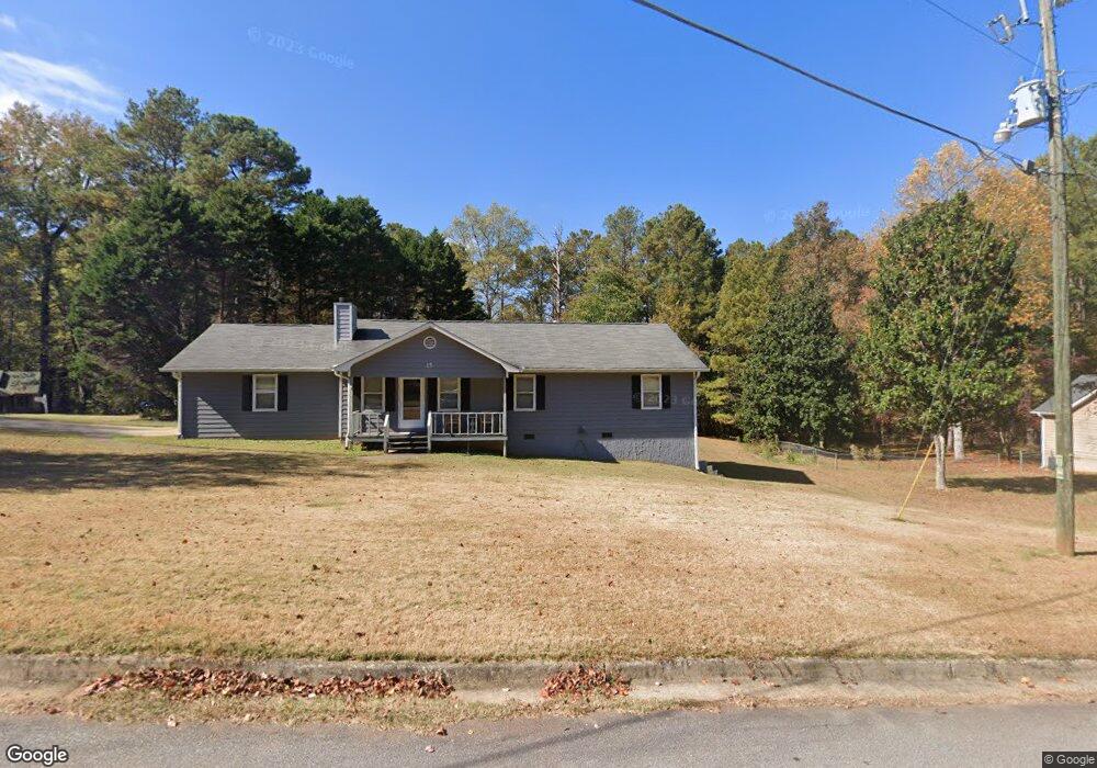
15 W Bradford Ct Covington, GA 30016
Estimated Value: $234,678 - $261,000
3
Beds
2
Baths
1,416
Sq Ft
$175/Sq Ft
Est. Value
About This Home
This home is located at 15 W Bradford Ct, Covington, GA 30016 and is currently estimated at $247,420, approximately $174 per square foot. 15 W Bradford Ct is a home located in Newton County with nearby schools including Oak Hill Elementary School, Veterans Memorial Middle School, and Alcovy High School.
Ownership History
Date
Name
Owned For
Owner Type
Purchase Details
Closed on
Nov 3, 2020
Sold by
Gordon John W
Bought by
Bjl Enterprises Llc
Current Estimated Value
Purchase Details
Closed on
Jun 30, 1999
Sold by
Stott Carol D
Bought by
Burdett Burrell E
Home Financials for this Owner
Home Financials are based on the most recent Mortgage that was taken out on this home.
Original Mortgage
$85,405
Interest Rate
7.66%
Mortgage Type
New Conventional
Purchase Details
Closed on
Aug 7, 1995
Sold by
Lona Martin E and Dotson Kimberly
Bought by
Boles George Carol
Create a Home Valuation Report for This Property
The Home Valuation Report is an in-depth analysis detailing your home's value as well as a comparison with similar homes in the area
Home Values in the Area
Average Home Value in this Area
Purchase History
| Date | Buyer | Sale Price | Title Company |
|---|---|---|---|
| Bjl Enterprises Llc | $112,000 | -- | |
| Burdett Burrell E | $89,900 | -- | |
| Boles George Carol | $75,000 | -- |
Source: Public Records
Mortgage History
| Date | Status | Borrower | Loan Amount |
|---|---|---|---|
| Previous Owner | Burdett Burrell E | $85,405 |
Source: Public Records
Tax History Compared to Growth
Tax History
| Year | Tax Paid | Tax Assessment Tax Assessment Total Assessment is a certain percentage of the fair market value that is determined by local assessors to be the total taxable value of land and additions on the property. | Land | Improvement |
|---|---|---|---|---|
| 2024 | $1,971 | $77,800 | $15,200 | $62,600 |
| 2023 | $1,767 | $65,120 | $7,400 | $57,720 |
| 2022 | $1,571 | $57,880 | $7,400 | $50,480 |
| 2021 | $1,359 | $48,280 | $7,400 | $40,880 |
| 2020 | $1,212 | $39,960 | $7,400 | $32,560 |
| 2019 | $1,156 | $37,800 | $7,400 | $30,400 |
| 2018 | $1,005 | $33,160 | $7,400 | $25,760 |
| 2017 | $955 | $31,720 | $5,200 | $26,520 |
| 2016 | $914 | $30,520 | $4,000 | $26,520 |
| 2015 | $891 | $29,840 | $4,000 | $25,840 |
| 2014 | $889 | $29,840 | $0 | $0 |
Source: Public Records
Map
Nearby Homes
- 134 Oak Hill West Rd
- 120 Wintergreen Ct
- 35 Fourwood Dr
- 339 Buckingham Dr SW
- 5312 Ashley Dr SE
- 307 Winding Stream Trail SW
- 5240 Highway 20 S
- 2178 NE Hillwood Dr
- 634 Knollwood Cir SE
- 4980 W Lake Dr SE
- 14908 Brown Bridge Rd
- 5190 Paul Cir SW
- 4931 W Lake Dr SE
- 4731 Shadybrook Way SE Unit 2
- 1700 Bailey Creek Rd SW
- 5170 Paul Cir SW
- 4938 Lake Forest Dr SE
- 6023 Highway 20 S
- 1459 Highway 212 SW
- 14845 Brown Bridge Rd
- 15 W W Bradford Ct
- 15 W Bradford Center
- 170 W Forest Dr
- W W Bradford Ct
- 20 W Bradford Ct
- 35 W Bradford Ct
- 30 W Bradford Ct
- 155 W Forest Dr
- 165 W Forest Dr
- 175 W Forest Dr
- 180 W Forest Dr
- 145 W Forest Dr
- 130 W Forest Dr
- 45 W Bradford Ct
- 40 W Bradford Ct
- 135 W Forest Dr
- 120 W Forest Dr
- 50 W Bradford Ct
- 60 W Bradford Ct
- 55 W Bradford Ct