15 W Harbor Dr Sag Harbor, NY 11963
Estimated Value: $2,149,625 - $4,210,000
4
Beds
3
Baths
2,250
Sq Ft
$1,387/Sq Ft
Est. Value
About This Home
This home is located at 15 W Harbor Dr, Sag Harbor, NY 11963 and is currently estimated at $3,119,656, approximately $1,386 per square foot. 15 W Harbor Dr is a home located in Suffolk County with nearby schools including Sag Harbor Elementary School and Pierson Middle/High School.
Ownership History
Date
Name
Owned For
Owner Type
Purchase Details
Closed on
Jun 26, 2010
Sold by
Schiavoni Thomas J and Schiavoni Andrea H
Bought by
Schiavoni Thomas J
Current Estimated Value
Purchase Details
Closed on
Aug 7, 1998
Sold by
Wright James and Wright Gladys A
Bought by
Schiavoni Thomas J
Home Financials for this Owner
Home Financials are based on the most recent Mortgage that was taken out on this home.
Original Mortgage
$148,500
Interest Rate
6.9%
Create a Home Valuation Report for This Property
The Home Valuation Report is an in-depth analysis detailing your home's value as well as a comparison with similar homes in the area
Home Values in the Area
Average Home Value in this Area
Purchase History
| Date | Buyer | Sale Price | Title Company |
|---|---|---|---|
| Schiavoni Thomas J | -- | -- | |
| Schiavoni Thomas J | $165,000 | Fidelity National Title Ins |
Source: Public Records
Mortgage History
| Date | Status | Borrower | Loan Amount |
|---|---|---|---|
| Previous Owner | Schiavoni Thomas J | $148,500 |
Source: Public Records
Tax History Compared to Growth
Tax History
| Year | Tax Paid | Tax Assessment Tax Assessment Total Assessment is a certain percentage of the fair market value that is determined by local assessors to be the total taxable value of land and additions on the property. | Land | Improvement |
|---|---|---|---|---|
| 2024 | $888 | $875,800 | $496,400 | $379,400 |
| 2023 | $444 | $875,800 | $496,400 | $379,400 |
| 2022 | $5,674 | $875,800 | $496,400 | $379,400 |
| 2021 | $5,674 | $875,800 | $496,400 | $379,400 |
| 2020 | $5,657 | $875,800 | $496,400 | $379,400 |
| 2019 | $5,584 | $0 | $0 | $0 |
| 2018 | -- | $842,300 | $496,400 | $345,900 |
| 2017 | $5,340 | $842,300 | $496,400 | $345,900 |
| 2016 | $5,540 | $842,300 | $496,400 | $345,900 |
| 2015 | -- | $842,300 | $496,400 | $345,900 |
| 2014 | -- | $842,300 | $496,400 | $345,900 |
Source: Public Records
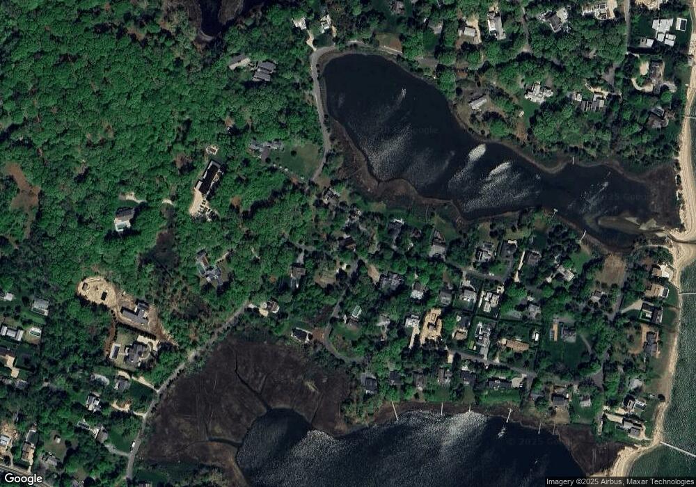
Map
Nearby Homes
- 9 W Harbor Dr
- 19 W Harbor Dr
- 56 Fresh Pond Rd
- 38 Fresh Pond Rd
- 4 N Harbor Dr
- 3 N Harbor Dr
- 5 N Harbor Dr
- 6 W Harbor Dr
- 8 N Harbor Dr
- 5 S Harbor Dr
- 34 Fresh Pond Rd
- 9 N Harbor Dr
- 85 Fresh Pond Rd
- 9 S Harbor Dr
- 9 S Harbor Dr
- 1 W Harbor Dr
- 12 N Harbor Dr
- 57 Fresh Pond Rd
- 35 Fresh Pond Rd
- 16 N Harbor Dr