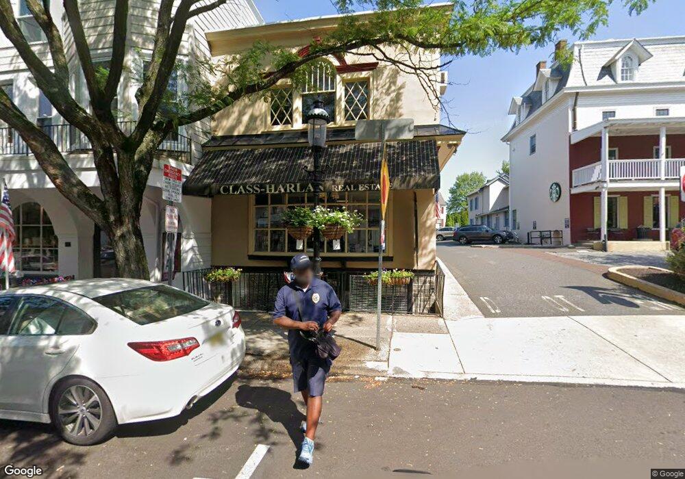
15 W State St Doylestown, PA 18901
Estimated Value: $820,861
--
Bed
3
Baths
1,926
Sq Ft
$426/Sq Ft
Est. Value
About This Home
This home is located at 15 W State St, Doylestown, PA 18901 and is currently estimated at $820,861, approximately $426 per square foot. 15 W State St is a home located in Bucks County with nearby schools including Doyle El School, Lenape Middle School, and Central Bucks High School-West.
Ownership History
Date
Name
Owned For
Owner Type
Purchase Details
Closed on
Dec 31, 1965
Bought by
Fifteen West State Corp
Current Estimated Value
Create a Home Valuation Report for This Property
The Home Valuation Report is an in-depth analysis detailing your home's value as well as a comparison with similar homes in the area
Home Values in the Area
Average Home Value in this Area
Purchase History
| Date | Buyer | Sale Price | Title Company |
|---|---|---|---|
| Fifteen West State Corp | -- | -- |
Source: Public Records
Tax History Compared to Growth
Tax History
| Year | Tax Paid | Tax Assessment Tax Assessment Total Assessment is a certain percentage of the fair market value that is determined by local assessors to be the total taxable value of land and additions on the property. | Land | Improvement |
|---|---|---|---|---|
| 2025 | $5,621 | $31,200 | $11,480 | $19,720 |
| 2024 | $5,621 | $31,200 | $11,480 | $19,720 |
| 2023 | $5,355 | $31,200 | $11,480 | $19,720 |
| 2022 | $5,281 | $31,200 | $11,480 | $19,720 |
| 2021 | $5,223 | $31,200 | $11,480 | $19,720 |
| 2020 | $5,165 | $31,200 | $11,480 | $19,720 |
| 2019 | $5,108 | $31,200 | $11,480 | $19,720 |
| 2018 | $5,046 | $31,200 | $11,480 | $19,720 |
| 2017 | $4,993 | $31,200 | $11,480 | $19,720 |
| 2016 | $4,993 | $31,200 | $11,480 | $19,720 |
| 2015 | -- | $31,200 | $11,480 | $19,720 |
| 2014 | -- | $31,200 | $11,480 | $19,720 |
Source: Public Records
Map
Nearby Homes
- 20 E Court St
- 69 E Oakland Ave
- 37 N Clinton St
- 1 Barnes Ct
- 110 E Ashland St
- 155 E Oakland Ave
- 146 E Court St
- 146 N Church St
- 130 N Clinton St
- 236 Green St
- 226 N Main St
- 195 Lafayette St
- 89 Homestead Dr
- 339 E Ashland St
- 403 S Main St Unit S201
- 121 Cottage St
- 3 Steeplechase Dr
- 418 North St
- 9 Mill Creek Dr
- 6 Edison Ln Unit 1
- 10 N Main St
- 10 N Main St Unit 3
- 10 N Main St Unit 4
- 10 N Main St Unit 5
- 10 N Main St Unit 7
- 10 N Main St Unit 6 & 7
- 10 N Main St Unit 6
- 25 W State St Unit 1
- 25 W State St
- 14 W State St Unit C3
- 14 W State St Unit C2
- 12 W State St
- 29 W State St Unit 1
- 29 W State St
- 29 W State St Unit 2
- 12 N Main St
- 8 W State St Unit B2
- 8 W State St Unit A3
- 28 W State St
- 18 W State St