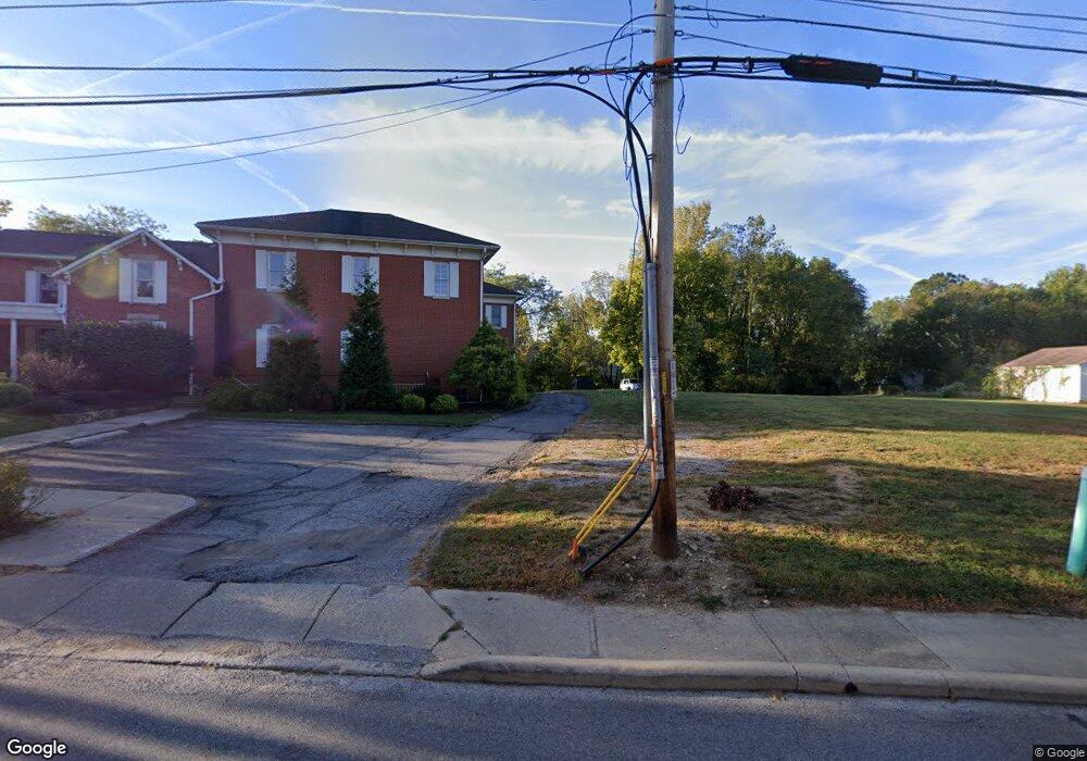
15 W Walnut St Westerville, OH 43081
Estimated Value: $2,005,317
2
Beds
1
Bath
10,900
Sq Ft
$184/Sq Ft
Est. Value
About This Home
This home is located at 15 W Walnut St, Westerville, OH 43081 and is currently estimated at $2,005,317, approximately $183 per square foot. 15 W Walnut St is a home located in Franklin County with nearby schools including Whittier Elementary School, Blendon Middle School, and Westerville South High School.
Ownership History
Date
Name
Owned For
Owner Type
Purchase Details
Closed on
Oct 2, 2003
Sold by
Hard Alberta J
Bought by
State & Walnut Ltd
Current Estimated Value
Purchase Details
Closed on
Sep 26, 2000
Sold by
Hard Robert L and Hard Alberta J
Bought by
State & Walnut Ltd
Home Financials for this Owner
Home Financials are based on the most recent Mortgage that was taken out on this home.
Original Mortgage
$125,000
Interest Rate
8%
Mortgage Type
Seller Take Back
Purchase Details
Closed on
Dec 15, 1998
Sold by
Hard Alberta J
Bought by
Hard Robert L and Hard Alberta J
Purchase Details
Closed on
Oct 19, 1989
Bought by
Hard Alberta J
Create a Home Valuation Report for This Property
The Home Valuation Report is an in-depth analysis detailing your home's value as well as a comparison with similar homes in the area
Home Values in the Area
Average Home Value in this Area
Purchase History
| Date | Buyer | Sale Price | Title Company |
|---|---|---|---|
| State & Walnut Ltd | $75,000 | Real Living Title | |
| State & Walnut Ltd | $150,000 | Real Living Title | |
| State & Walnut Ltd | $150,000 | -- | |
| Hard Robert L | -- | -- | |
| Hard Alberta J | $55,000 | -- |
Source: Public Records
Mortgage History
| Date | Status | Borrower | Loan Amount |
|---|---|---|---|
| Previous Owner | State & Walnut Ltd | $125,000 |
Source: Public Records
Tax History Compared to Growth
Tax History
| Year | Tax Paid | Tax Assessment Tax Assessment Total Assessment is a certain percentage of the fair market value that is determined by local assessors to be the total taxable value of land and additions on the property. | Land | Improvement |
|---|---|---|---|---|
| 2024 | $69,302 | $405,870 | $113,580 | $292,290 |
| 2023 | $33,341 | $405,870 | $113,580 | $292,290 |
| 2022 | $73,458 | $326,040 | $87,580 | $238,460 |
| 2021 | $31,319 | $326,040 | $87,580 | $238,460 |
| 2020 | $30,827 | $326,040 | $87,580 | $238,460 |
| 2019 | $27,046 | $283,500 | $76,160 | $207,340 |
| 2018 | $16,411 | $283,500 | $76,160 | $207,340 |
| 2017 | $31,229 | $286,060 | $76,160 | $209,900 |
| 2016 | $28,631 | $283,370 | $73,470 | $209,900 |
| 2015 | $15,330 | $295,790 | $73,470 | $222,320 |
| 2014 | $2,827 | $32,210 | $19,780 | $12,430 |
| 2013 | $1,344 | $32,200 | $18,830 | $13,370 |
Source: Public Records
Map
Nearby Homes
- 79 W Park St
- 53 W College Ave
- 199 E College Ave
- 247 Foxtrail Place
- 92 N Vine St
- 466 S State St
- 470 S State St
- 502 Foxtrail Cir E Unit 502
- 476 S State St
- 160 N State St
- 131 Cherrington Rd
- 175 N State St
- 364 E College Ave
- 417 E Park St
- 546 Allview Ct
- 0 Cherrington Rd Unit 225023909
- 389 Ridgemoor Ln
- 385 Hockberry Ave Unit Lot 1603
- 325 Vannette Ln Unit Lot 602
- 465 W Schrock Rd
- 167 S State St
- 23 W Walnut St
- 27 W Walnut St
- 18 Glenwood Dr
- 24 Glenwood Dr
- 201 S State St
- 28 Glenwood Dr
- 35 W Walnut St
- 34 Glenwood Dr
- 190 S State St
- 190 S State St Unit D
- 38 Glenwood Dr Unit 40
- 38-40 Glenwood Dr
- 41 W Walnut St
- 22 E Walnut St
- 27 E Walnut St
- 42 Glenwood Dr
- 133 S State St
- 170 Fairview Ave
- 31 E Walnut St