15 Wall St East Patchogue, NY 11772
Estimated Value: $604,000 - $742,000
4
Beds
2
Baths
1,787
Sq Ft
$371/Sq Ft
Est. Value
About This Home
This home is located at 15 Wall St, East Patchogue, NY 11772 and is currently estimated at $663,823, approximately $371 per square foot. 15 Wall St is a home located in Suffolk County with nearby schools including Frank P Long Intermediate School, Bellport Middle School, and Bellport Senior High School.
Ownership History
Date
Name
Owned For
Owner Type
Purchase Details
Closed on
Nov 15, 2022
Sold by
Laughlin Shane and Laughlin Marie A
Bought by
Laughlin Marie A
Current Estimated Value
Purchase Details
Closed on
Sep 1, 1999
Sold by
Hogeboom Christopher and Hogeboom Kori
Bought by
Mileto Edward J and Mileto Gail
Home Financials for this Owner
Home Financials are based on the most recent Mortgage that was taken out on this home.
Original Mortgage
$125,000
Interest Rate
7.73%
Mortgage Type
Purchase Money Mortgage
Create a Home Valuation Report for This Property
The Home Valuation Report is an in-depth analysis detailing your home's value as well as a comparison with similar homes in the area
Home Values in the Area
Average Home Value in this Area
Purchase History
| Date | Buyer | Sale Price | Title Company |
|---|---|---|---|
| Laughlin Marie A | -- | First American Title | |
| Mileto Edward J | $225,000 | First American Title Ins Co | |
| Mileto Edward J | $225,000 | First American Title Ins Co |
Source: Public Records
Mortgage History
| Date | Status | Borrower | Loan Amount |
|---|---|---|---|
| Previous Owner | Mileto Edward J | $125,000 |
Source: Public Records
Tax History
| Year | Tax Paid | Tax Assessment Tax Assessment Total Assessment is a certain percentage of the fair market value that is determined by local assessors to be the total taxable value of land and additions on the property. | Land | Improvement |
|---|---|---|---|---|
| 2024 | $9,922 | $2,750 | $300 | $2,450 |
| 2023 | $9,922 | $2,750 | $300 | $2,450 |
| 2022 | $8,785 | $2,750 | $300 | $2,450 |
| 2021 | $8,785 | $2,750 | $300 | $2,450 |
| 2020 | $9,162 | $2,750 | $300 | $2,450 |
| 2019 | $9,162 | $0 | $0 | $0 |
| 2018 | $8,381 | $2,750 | $300 | $2,450 |
| 2017 | $8,381 | $2,700 | $300 | $2,400 |
| 2016 | $8,367 | $2,700 | $300 | $2,400 |
| 2015 | -- | $2,700 | $300 | $2,400 |
| 2014 | -- | $2,700 | $300 | $2,400 |
Source: Public Records
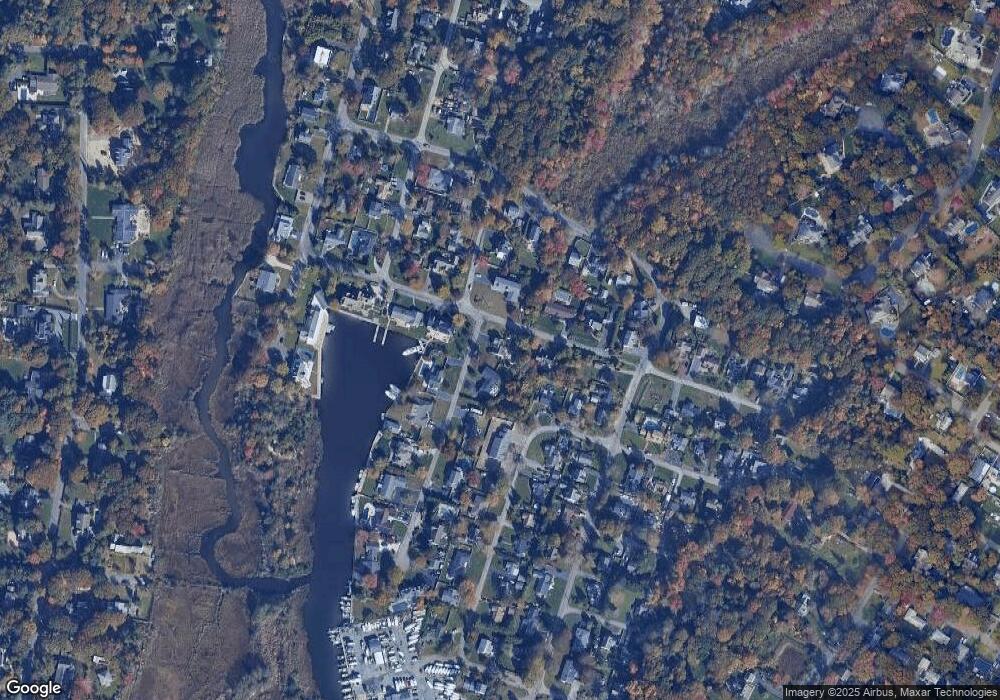
Map
Nearby Homes
- 12 Summit St
- 39 Roosevelt Blvd
- 36 Roosevelt Blvd
- 0 Bayview Ave
- 239 Bayview Ave
- 156 Clinton Ave
- 324 Durkee Ln
- 85 Bayview Ave
- 24 Spinnaker Ln Unit 24
- 3 Moss Creek Ln
- 22 Rod St
- 257 Union Ave
- 333 Roe Ave
- 163 Orchard Rd
- 190 N Dunton Ave
- 5 Marina Ln
- 139 Pine Neck Ave
- 225 Lyman Rd
- 247 N Dunton Ave
- 262 N Dunton Ave
Your Personal Tour Guide
Ask me questions while you tour the home.