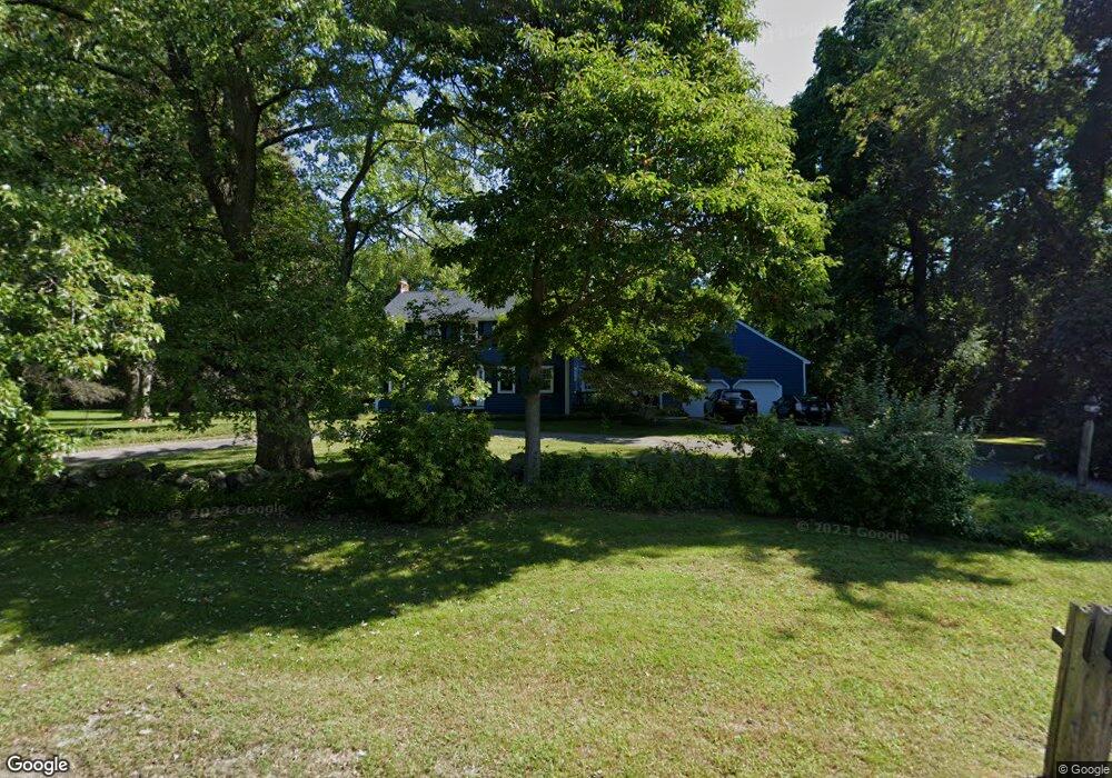
15 Ward Ln Sherborn, MA 01770
Estimated Value: $1,222,287 - $1,432,000
4
Beds
3
Baths
2,800
Sq Ft
$469/Sq Ft
Est. Value
About This Home
This home is located at 15 Ward Ln, Sherborn, MA 01770 and is currently estimated at $1,313,072, approximately $468 per square foot. 15 Ward Ln is a home located in Middlesex County with nearby schools including Pine Hill Elementary School, Dover-Sherborn Regional Middle School, and Dover-Sherborn Regional High School.
Ownership History
Date
Name
Owned For
Owner Type
Purchase Details
Closed on
Feb 12, 2026
Sold by
Barberio Dana
Bought by
Dana M Barberio 2026 Ft and Barberio
Current Estimated Value
Purchase Details
Closed on
Nov 5, 2003
Sold by
Carboni Jutta and Carboni Edwin P
Bought by
Barberio Dana and Barberio Michael J
Home Financials for this Owner
Home Financials are based on the most recent Mortgage that was taken out on this home.
Original Mortgage
$322,700
Interest Rate
6.01%
Mortgage Type
Purchase Money Mortgage
Create a Home Valuation Report for This Property
The Home Valuation Report is an in-depth analysis detailing your home's value as well as a comparison with similar homes in the area
Home Values in the Area
Average Home Value in this Area
Purchase History
| Date | Buyer | Sale Price | Title Company |
|---|---|---|---|
| Dana M Barberio 2026 Ft | -- | -- | |
| Barberio Dana | -- | -- | |
| Barberio Dana | $740,000 | -- |
Source: Public Records
Mortgage History
| Date | Status | Borrower | Loan Amount |
|---|---|---|---|
| Previous Owner | Barberio Dana | $322,700 |
Source: Public Records
Tax History
| Year | Tax Paid | Tax Assessment Tax Assessment Total Assessment is a certain percentage of the fair market value that is determined by local assessors to be the total taxable value of land and additions on the property. | Land | Improvement |
|---|---|---|---|---|
| 2025 | $17,681 | $1,066,400 | $470,700 | $595,700 |
| 2024 | $16,552 | $976,500 | $462,000 | $514,500 |
| 2023 | $15,272 | $848,000 | $462,000 | $386,000 |
| 2022 | $13,871 | $728,900 | $450,400 | $278,500 |
| 2021 | $13,890 | $707,600 | $450,400 | $257,200 |
| 2020 | $13,770 | $707,600 | $450,400 | $257,200 |
| 2019 | $13,818 | $704,300 | $450,400 | $253,900 |
| 2018 | $9,063 | $696,100 | $450,400 | $245,700 |
| 2017 | $8,811 | $660,800 | $444,600 | $216,200 |
| 2016 | $12,897 | $627,000 | $415,800 | $211,200 |
| 2015 | $12,568 | $618,500 | $404,200 | $214,300 |
| 2014 | $12,186 | $599,100 | $392,700 | $206,400 |
Source: Public Records
Map
Nearby Homes
- 76 Hollis St
- 14 Fiske Pond Rd
- 29 Southfield Ln Unit 29
- 3 Knollcrest Farm Ln
- 18 Northway St
- 121 Woodland St
- 147 Washington Street Lot 2
- 615 Mayflower Landing
- 53 Regal St
- 59 Russett Hill Rd
- 84 Old Orchard Rd
- 6 Skyview Terrace
- 59 Spywood Rd
- 44 Baker St
- 16 Page Farm Rd
- 21 Spywood Rd
- 102 Washington St
- 54 Spywood Rd
- 1 Danforth Dr
- 2 Towne Lyne Rd
Your Personal Tour Guide
Ask me questions while you tour the home.