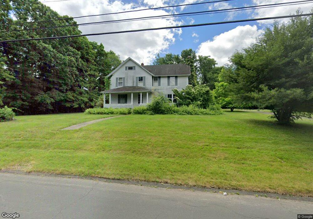
15 Watkins Rd Bloomfield, CT 06002
Estimated Value: $400,000 - $434,000
4
Beds
2
Baths
1,988
Sq Ft
$211/Sq Ft
Est. Value
About This Home
This home is located at 15 Watkins Rd, Bloomfield, CT 06002 and is currently estimated at $420,056, approximately $211 per square foot. 15 Watkins Rd is a home located in Hartford County with nearby schools including Laurel School, Carmen Arace Intermediate School, and Metacomet School.
Ownership History
Date
Name
Owned For
Owner Type
Purchase Details
Closed on
Jan 12, 2005
Sold by
Cotter Patricia
Bought by
Morgan John Balf
Current Estimated Value
Home Financials for this Owner
Home Financials are based on the most recent Mortgage that was taken out on this home.
Original Mortgage
$199,200
Outstanding Balance
$100,972
Interest Rate
5.81%
Mortgage Type
Purchase Money Mortgage
Estimated Equity
$319,084
Purchase Details
Closed on
Nov 3, 1988
Sold by
Carroll Rpbert
Bought by
Cotter Patricia
Create a Home Valuation Report for This Property
The Home Valuation Report is an in-depth analysis detailing your home's value as well as a comparison with similar homes in the area
Home Values in the Area
Average Home Value in this Area
Purchase History
| Date | Buyer | Sale Price | Title Company |
|---|---|---|---|
| Morgan John Balf | $249,000 | -- | |
| Morgan John Balf | $249,000 | -- | |
| Cotter Patricia | $180,000 | -- |
Source: Public Records
Mortgage History
| Date | Status | Borrower | Loan Amount |
|---|---|---|---|
| Open | Cotter Patricia | $199,200 | |
| Closed | Cotter Patricia | $24,900 | |
| Closed | Cotter Patricia | $199,200 | |
| Previous Owner | Cotter Patricia | $25,500 |
Source: Public Records
Tax History
| Year | Tax Paid | Tax Assessment Tax Assessment Total Assessment is a certain percentage of the fair market value that is determined by local assessors to be the total taxable value of land and additions on the property. | Land | Improvement |
|---|---|---|---|---|
| 2025 | $8,760 | $233,590 | $68,110 | $165,480 |
| 2024 | $6,557 | $167,090 | $59,570 | $107,520 |
| 2023 | $6,438 | $167,090 | $59,570 | $107,520 |
| 2022 | $6,020 | $167,090 | $59,570 | $107,520 |
| 2021 | $6,154 | $167,090 | $59,570 | $107,520 |
| 2020 | $6,059 | $167,090 | $59,570 | $107,520 |
| 2019 | $6,460 | $167,090 | $59,570 | $107,520 |
| 2018 | $5,920 | $153,300 | $60,340 | $92,960 |
| 2017 | $5,911 | $153,300 | $60,340 | $92,960 |
| 2016 | $5,772 | $153,300 | $60,340 | $92,960 |
| 2015 | $5,664 | $153,300 | $60,340 | $92,960 |
| 2014 | $6,034 | $168,840 | $53,900 | $114,940 |
Source: Public Records
Map
Nearby Homes
- 5 Caramoor Park Unit 5
- 34 Cary Ln Unit 34
- 1347 Hall Blvd
- 17 Harwich Ln Unit 17
- 10 Ironwood Ln
- 8 Ironwood Rd
- 50 Ironwood Rd
- 6 Spy Glass Cir
- 33 Trotwood Dr
- 148 Hyde Rd
- 11 Forest Hills Dr
- 26 Burnwood Dr
- 105 Hyde Rd
- 9 Juniper Ln
- 148 King Philip Dr
- 15 Avondale Rd
- 40 Ferncliff Dr
- 25 Hilldale Rd
- 81 Silo Way Unit 81
- 162 Thistle Pond Dr
- 9 Watkins Rd
- 14 Watkins Rd
- 8 Watkins Rd
- 18 Watkins Rd
- 4 Watkins Rd
- 1030 Mountain Rd
- 391 Simsbury Rd
- 17 Watkins Rd
- 395 Simsbury Rd
- 399 Simsbury Rd
- 1032 Mountain Rd
- 1038 Mountain Rd
- 1029 Mountain Rd
- 1040 Mountain Rd
- 1041 Mountain Rd
- 9 Overbrook Farm Rd
- 1031 Mountain Rd
- 11 Overbrook Farm Rd
- 1045 Mountain Rd
- 1021 Mountain Rd
Your Personal Tour Guide
Ask me questions while you tour the home.