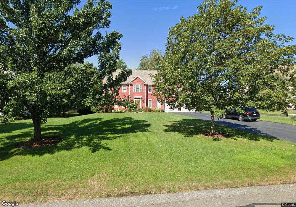
15 Weetamoo Way Wrentham, MA 02093
Estimated Value: $1,042,825 - $1,203,000
4
Beds
3
Baths
3,256
Sq Ft
$351/Sq Ft
Est. Value
About This Home
This home is located at 15 Weetamoo Way, Wrentham, MA 02093 and is currently estimated at $1,142,206, approximately $350 per square foot. 15 Weetamoo Way is a home located in Norfolk County with nearby schools including Delaney Elementary School and Charles E Roderick.
Ownership History
Date
Name
Owned For
Owner Type
Purchase Details
Closed on
Jun 30, 2005
Sold by
Diplacido Dev Corp
Bought by
Altieri Berverly A and Altieri John L
Current Estimated Value
Home Financials for this Owner
Home Financials are based on the most recent Mortgage that was taken out on this home.
Original Mortgage
$240,000
Outstanding Balance
$124,252
Interest Rate
5.73%
Mortgage Type
Purchase Money Mortgage
Estimated Equity
$1,017,954
Create a Home Valuation Report for This Property
The Home Valuation Report is an in-depth analysis detailing your home's value as well as a comparison with similar homes in the area
Home Values in the Area
Average Home Value in this Area
Purchase History
| Date | Buyer | Sale Price | Title Company |
|---|---|---|---|
| Altieri Berverly A | $617,381 | -- |
Source: Public Records
Mortgage History
| Date | Status | Borrower | Loan Amount |
|---|---|---|---|
| Open | Altieri Berverly A | $240,000 |
Source: Public Records
Tax History Compared to Growth
Tax History
| Year | Tax Paid | Tax Assessment Tax Assessment Total Assessment is a certain percentage of the fair market value that is determined by local assessors to be the total taxable value of land and additions on the property. | Land | Improvement |
|---|---|---|---|---|
| 2025 | $11,169 | $963,700 | $316,500 | $647,200 |
| 2024 | $10,603 | $883,600 | $316,500 | $567,100 |
| 2023 | $10,410 | $824,900 | $287,700 | $537,200 |
| 2022 | $9,907 | $724,700 | $261,500 | $463,200 |
| 2021 | $9,673 | $687,500 | $261,500 | $426,000 |
| 2020 | $9,780 | $686,300 | $214,900 | $471,400 |
| 2019 | $9,388 | $664,900 | $214,900 | $450,000 |
| 2018 | $8,682 | $609,700 | $215,200 | $394,500 |
| 2017 | $8,412 | $590,300 | $211,000 | $379,300 |
| 2016 | $8,297 | $581,000 | $204,900 | $376,100 |
| 2015 | $8,467 | $565,200 | $197,000 | $368,200 |
| 2014 | $8,388 | $547,900 | $189,500 | $358,400 |
Source: Public Records
Map
Nearby Homes
- Lot 1 - Blueberry 2 Car Plan at King Philip Estates
- Lot 8 - Blueberry 2 Car Plan at King Philip Estates
- Lot 5 - Hughes 2 car Plan at King Philip Estates
- Lot 6 - Blueberry 3 Car Plan at King Philip Estates
- Lot 2 - Camden 2 Car Plan at King Philip Estates
- Lot 7 - Cedar Plan at King Philip Estates
- Lot 4 - Hemingway 2 Car Plan at King Philip Estates
- 14 Earle Stewart Ln
- Lot 3 - Blueberry 2 Car Plan at King Philip Estates
- 11 Earle Stewart Ln
- 131 Creek St Unit 7
- 791 South St Unit 5
- 570 Franklin St
- 500 Franklin St
- 10 Nature View Dr
- 15 Nature View Dr
- 440 Chestnut St
- 80 Carriage House Ln
- 1222 South St
- 955 Summer St
- 25 Weetamoo Way
- 120 Riverside Dr
- 35 Weetamoo Way
- 5 Weetamoo Way
- 30 Weetamoo Way
- 124 Riverside Dr
- 20 Weetamoo Way
- 10 Weetamoo Way
- 30 Pokanoket Path
- 50 Pokanoket Path
- 45 Weetamoo Way
- 40 Weetamoo Way
- 40 Pokanoket Path
- 60 Pokanoket Path
- 145 Riverside Dr
- 125 Riverside Dr
- 155 Riverside Dr
- 55 Weetamoo Way
- 110 Riverside Dr
- 5 Pokanoket Path