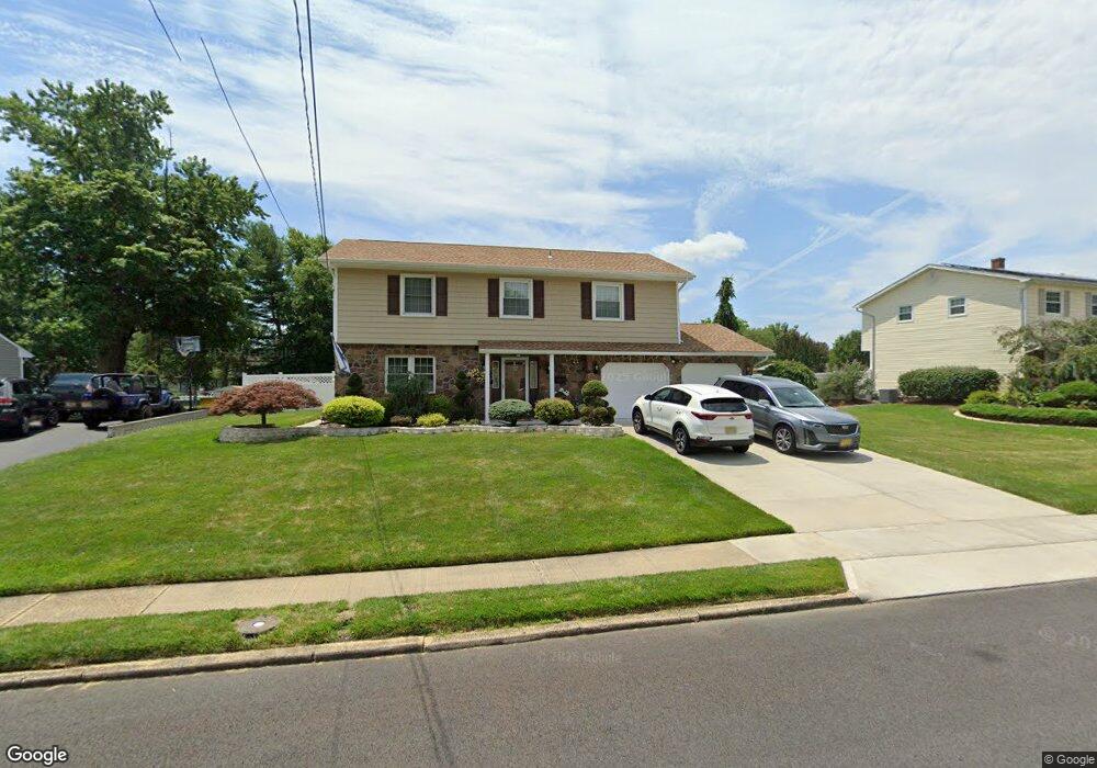
15 Westbrook Rd Howell, NJ 07731
Candlewood NeighborhoodEstimated Value: $648,000 - $794,000
4
Beds
3
Baths
2,194
Sq Ft
$338/Sq Ft
Est. Value
About This Home
This home is located at 15 Westbrook Rd, Howell, NJ 07731 and is currently estimated at $740,785, approximately $337 per square foot. 15 Westbrook Rd is a home located in Monmouth County with nearby schools including Taunton School, Aldrich School, and Howell Township Middle School South.
Ownership History
Date
Name
Owned For
Owner Type
Purchase Details
Closed on
Dec 8, 2000
Sold by
Fallon George
Bought by
Savasta Anthony and Savasta Emily
Current Estimated Value
Home Financials for this Owner
Home Financials are based on the most recent Mortgage that was taken out on this home.
Original Mortgage
$210,000
Outstanding Balance
$77,387
Interest Rate
7.7%
Estimated Equity
$663,398
Create a Home Valuation Report for This Property
The Home Valuation Report is an in-depth analysis detailing your home's value as well as a comparison with similar homes in the area
Home Values in the Area
Average Home Value in this Area
Purchase History
| Date | Buyer | Sale Price | Title Company |
|---|---|---|---|
| Savasta Anthony | $243,500 | -- |
Source: Public Records
Mortgage History
| Date | Status | Borrower | Loan Amount |
|---|---|---|---|
| Open | Savasta Anthony | $210,000 |
Source: Public Records
Tax History Compared to Growth
Tax History
| Year | Tax Paid | Tax Assessment Tax Assessment Total Assessment is a certain percentage of the fair market value that is determined by local assessors to be the total taxable value of land and additions on the property. | Land | Improvement |
|---|---|---|---|---|
| 2025 | $10,780 | $656,400 | $378,100 | $278,300 |
| 2024 | $9,768 | $606,300 | $333,100 | $273,200 |
| 2023 | $9,768 | $524,900 | $258,100 | $266,800 |
| 2022 | $9,053 | $431,400 | $154,600 | $276,800 |
| 2021 | $9,053 | $394,300 | $148,100 | $246,200 |
| 2020 | $9,260 | $398,800 | $140,500 | $258,300 |
| 2019 | $9,393 | $397,000 | $143,100 | $253,900 |
| 2018 | $8,934 | $375,200 | $133,100 | $242,100 |
| 2017 | $8,958 | $372,000 | $137,300 | $234,700 |
| 2016 | $8,466 | $348,100 | $119,300 | $228,800 |
| 2015 | $8,314 | $338,400 | $115,500 | $222,900 |
| 2014 | $8,061 | $304,400 | $127,300 | $177,100 |
Source: Public Records
Map
Nearby Homes
- 45 Springhill Dr
- 147 Newbury Rd
- 19 Kensington Dr
- 30 Forrest Hill Dr
- 20 Nottingham Dr
- 134 Darien Rd
- 111 S Durham Dr
- 107 S Durham Dr
- 28 Salem Hill Rd
- 28 Princeton Dr
- 10 Pepperridge Rd
- 15 Windsor Rd
- 17 Sugarbush Rd
- 51 Hedgewood Rd
- 307 Princeton Dr
- 47 Yellowstone Ln
- 15 N Longview Rd
- 17 N Longview Rd
- 20 N Longview Rd
- 41 Sweetbriar Trail
- 17 Westbrook Rd
- 13 Westbrook Rd
- 19 Westbrook Rd
- 20 Springhill Dr
- 16 Westbrook Rd
- 11 Westbrook Rd
- 14 Westbrook Rd
- 18 Springhill Dr
- 18 Westbrook Rd
- 21 Westbrook Rd
- 22 Springhill Dr
- 24 Springhill Dr
- 14 Springhill Dr
- 12 Westbrook Rd
- 20 Westbrook Rd
- 9 Westbrook Rd
- 23 Westbrook Rd
- 10 Westbrook Rd
- 19 Springhill Dr
- 12 Springhill Dr