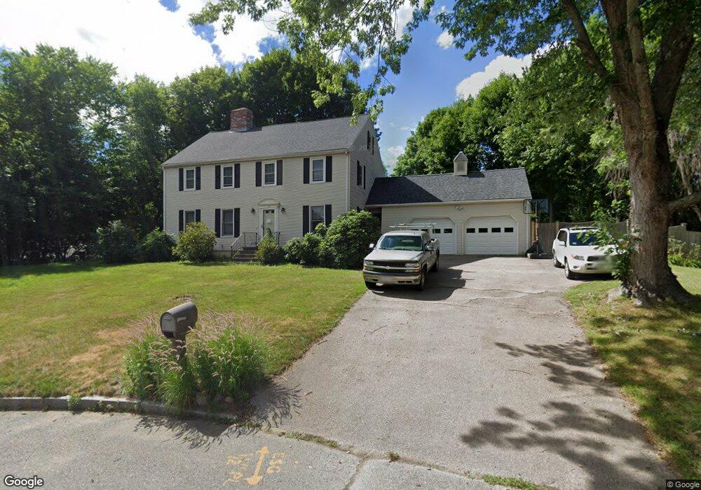
15 Wight Farm Rd Natick, MA 01760
Estimated Value: $1,165,916 - $1,480,000
4
Beds
3
Baths
2,368
Sq Ft
$555/Sq Ft
Est. Value
About This Home
This home is located at 15 Wight Farm Rd, Natick, MA 01760 and is currently estimated at $1,313,979, approximately $554 per square foot. 15 Wight Farm Rd is a home located in Middlesex County with nearby schools including Natick High School, Wilson Middle School, and Bennett-Hemenway (Ben-Hem) Elementary School.
Ownership History
Date
Name
Owned For
Owner Type
Purchase Details
Closed on
Dec 4, 1987
Sold by
Sutherland Jesse G
Bought by
Shecter Arnold E
Current Estimated Value
Create a Home Valuation Report for This Property
The Home Valuation Report is an in-depth analysis detailing your home's value as well as a comparison with similar homes in the area
Home Values in the Area
Average Home Value in this Area
Purchase History
| Date | Buyer | Sale Price | Title Company |
|---|---|---|---|
| Shecter Arnold E | $349,000 | -- |
Source: Public Records
Mortgage History
| Date | Status | Borrower | Loan Amount |
|---|---|---|---|
| Open | Shecter Arnold E | $41,320 | |
| Open | Shecter Arnold E | $260,000 | |
| Closed | Shecter Arnold E | $262,000 |
Source: Public Records
Tax History Compared to Growth
Tax History
| Year | Tax Paid | Tax Assessment Tax Assessment Total Assessment is a certain percentage of the fair market value that is determined by local assessors to be the total taxable value of land and additions on the property. | Land | Improvement |
|---|---|---|---|---|
| 2025 | $12,608 | $1,054,200 | $514,100 | $540,100 |
| 2024 | $12,264 | $1,000,300 | $487,000 | $513,300 |
| 2023 | $11,473 | $907,700 | $451,100 | $456,600 |
| 2022 | $11,174 | $837,600 | $405,000 | $432,600 |
| 2021 | $10,925 | $802,700 | $399,600 | $403,100 |
| 2020 | $10,708 | $786,800 | $383,700 | $403,100 |
| 2019 | $10,000 | $786,800 | $383,700 | $403,100 |
| 2018 | $10,162 | $778,700 | $370,300 | $408,400 |
| 2017 | $10,378 | $769,300 | $368,700 | $400,600 |
| 2016 | $10,389 | $765,600 | $368,700 | $396,900 |
| 2015 | $10,119 | $732,200 | $368,700 | $363,500 |
Source: Public Records
Map
Nearby Homes
- 64 Park Ave
- 12 Linden St
- 7 Jackson Ct Unit B
- 287 Bacon St
- 293 Bacon St Unit A
- 8 Flynn St
- 8 Stanley St
- 13 Sheffield Rd
- 7 Sheffield Rd
- 58 N Main St Unit 304
- 4 Richard Rd
- 25 Irving Rd
- 29 Irving Rd
- 278 N Main St
- 38 Westlake Rd
- 4 Willow St
- 34 N Main St Unit 2
- 28 Walnut St
- 26 Walnut St
- 20 Florence St Unit B