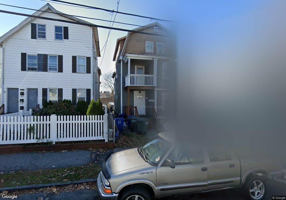
15 Wilson St Bridgeport, CT 06605
Black Rock NeighborhoodEstimated Value: $568,000 - $736,000
5
Beds
3
Baths
2,696
Sq Ft
$235/Sq Ft
Est. Value
About This Home
This home is located at 15 Wilson St, Bridgeport, CT 06605 and is currently estimated at $632,333, approximately $234 per square foot. 15 Wilson St is a home located in Fairfield County with nearby schools including Holland Hill Elementary, Fairfield Ludlowe High School, and Park City Prep Charter School.
Ownership History
Date
Name
Owned For
Owner Type
Purchase Details
Closed on
Jun 11, 2025
Sold by
Baldyga Raymond P
Bought by
11-15 Wilson St Llc
Current Estimated Value
Purchase Details
Closed on
Aug 28, 1981
Bought by
Baldyga Raymond P
Create a Home Valuation Report for This Property
The Home Valuation Report is an in-depth analysis detailing your home's value as well as a comparison with similar homes in the area
Home Values in the Area
Average Home Value in this Area
Purchase History
| Date | Buyer | Sale Price | Title Company |
|---|---|---|---|
| 11-15 Wilson St Llc | -- | None Available | |
| 11-15 Wilson St Llc | -- | None Available | |
| Baldyga Raymond P | -- | -- |
Source: Public Records
Mortgage History
| Date | Status | Borrower | Loan Amount |
|---|---|---|---|
| Previous Owner | Baldyga Raymond P | $98,900 | |
| Previous Owner | Baldyga Raymond P | $112,500 | |
| Previous Owner | Baldyga Raymond P | $130,000 |
Source: Public Records
Tax History Compared to Growth
Tax History
| Year | Tax Paid | Tax Assessment Tax Assessment Total Assessment is a certain percentage of the fair market value that is determined by local assessors to be the total taxable value of land and additions on the property. | Land | Improvement |
|---|---|---|---|---|
| 2025 | $8,799 | $202,510 | $89,610 | $112,900 |
| 2024 | $8,799 | $202,510 | $89,610 | $112,900 |
| 2023 | $8,799 | $202,510 | $89,610 | $112,900 |
| 2022 | $8,799 | $202,510 | $89,610 | $112,900 |
| 2021 | $8,799 | $202,510 | $89,610 | $112,900 |
| 2020 | $7,960 | $147,430 | $58,210 | $89,220 |
| 2019 | $7,960 | $147,430 | $58,210 | $89,220 |
| 2018 | $8,016 | $147,430 | $58,210 | $89,220 |
| 2017 | $8,016 | $147,430 | $58,210 | $89,220 |
| 2016 | $8,016 | $147,430 | $58,210 | $89,220 |
| 2015 | $7,316 | $173,370 | $48,920 | $124,450 |
| 2014 | $7,316 | $173,370 | $48,920 | $124,450 |
Source: Public Records
Map
Nearby Homes
- 39 Jetland Place Unit 41
- 105 Fox St Unit 107
- 165 Bennett St
- 554 Brewster St Unit 4
- 2773 Fairfield Ave Unit 3
- 37 Rowsley St Unit 6
- 20 Haddon St Unit 5
- 26 Rowsley St Unit 3
- 51 Princeton St
- 450 Davidson St
- 855 Brewster St Unit 857
- 166 Alfred St
- 75 Homestead Ave Unit 77
- 317 Brewster St
- 167 Scofield Ave
- 222 Ellsworth St
- 82 Waldorf Ave
- 135 Whittier St
- 144 Whittier St
- 31 Whittier St
- 11 Wilson St
- 45 Wilson St
- 53 Wilson St
- 63 Wilson St
- 63 Wilson St Unit 1
- 63 Wilson St Unit 2
- 34 Wilson St
- 65 Wilson St Unit 2ND F
- 65 Wilson St
- 48 Wilson St
- 34- 36 Wilson St
- 2906 Fairfield Ave Unit 2FF
- 2906 Fairfield Ave
- 52 Wilson St
- 50 Wilson St
- 2908 Fairfield Ave Unit 2FF
- 2908 Fairfield Ave Unit 3
- 58 Wilson St
- 75 Wilson St
- 2886 Fairfield Ave Unit 1