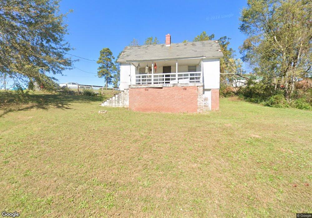
15 Wilson St Enoree, SC 29335
Estimated Value: $19,560 - $138,000
2
Beds
1
Bath
1,158
Sq Ft
$87/Sq Ft
Est. Value
About This Home
This home is located at 15 Wilson St, Enoree, SC 29335 and is currently estimated at $100,390, approximately $86 per square foot. 15 Wilson St is a home with nearby schools including Woodruff Primary School, Woodruff Elementary School, and Woodruff Middle School.
Ownership History
Date
Name
Owned For
Owner Type
Purchase Details
Closed on
Oct 10, 2019
Sold by
Tucker Anthony
Bought by
Tollison Jeffrey Scott and Tollison Elizabeth Ann
Current Estimated Value
Purchase Details
Closed on
Sep 9, 2010
Sold by
Tucker Donald R and Tucker Sandra B
Bought by
Tucker Anthony
Purchase Details
Closed on
Jul 29, 2004
Sold by
Tucker Donald R and Tucker Sandra B
Bought by
Tucker Anthony
Home Financials for this Owner
Home Financials are based on the most recent Mortgage that was taken out on this home.
Original Mortgage
$17,750
Interest Rate
6.22%
Mortgage Type
Seller Take Back
Create a Home Valuation Report for This Property
The Home Valuation Report is an in-depth analysis detailing your home's value as well as a comparison with similar homes in the area
Home Values in the Area
Average Home Value in this Area
Purchase History
| Date | Buyer | Sale Price | Title Company |
|---|---|---|---|
| Tollison Jeffrey Scott | $12,000 | None Available | |
| Tucker Anthony | $18,000 | -- | |
| Tucker Anthony | $18,000 | -- |
Source: Public Records
Mortgage History
| Date | Status | Borrower | Loan Amount |
|---|---|---|---|
| Previous Owner | Tucker Anthony | $17,750 |
Source: Public Records
Tax History Compared to Growth
Tax History
| Year | Tax Paid | Tax Assessment Tax Assessment Total Assessment is a certain percentage of the fair market value that is determined by local assessors to be the total taxable value of land and additions on the property. | Land | Improvement |
|---|---|---|---|---|
| 2025 | $528 | $1,228 | $428 | $800 |
| 2024 | $528 | $1,228 | $428 | $800 |
| 2023 | $528 | $1,228 | $428 | $800 |
| 2022 | $452 | $1,068 | $306 | $762 |
| 2021 | $454 | $1,068 | $306 | $762 |
| 2020 | $955 | $2,562 | $900 | $1,662 |
| 2019 | $57 | $1,065 | $374 | $691 |
| 2018 | $57 | $1,065 | $374 | $691 |
| 2017 | $57 | $926 | $364 | $562 |
| 2016 | $57 | $926 | $364 | $562 |
| 2015 | $52 | $926 | $364 | $562 |
| 2014 | $47 | $926 | $364 | $562 |
Source: Public Records
Map
Nearby Homes
- 1218 Parker Rd
- 95 Clippard St
- 0 S 256
- 163 Railroad St
- 00 Frontier Rd
- 1460 State Road S-42-423
- 1470 State Road S-42-423
- 717 Hadley Place
- 717 Hadley Place Unit AA 66 Forsyth E
- 709 Hadley Place Unit AA 64 Dawson A
- 709 Hadley Place
- Davenport Plan at Arrowood Acres
- VAIL Plan at Arrowood Acres
- TIMBERWOOD Plan at Arrowood Acres
- KENNEDY Plan at Arrowood Acres
- Dawson Plan at Arrowood Acres
- Forsyth Plan at Arrowood Acres
- WELLINGTON Plan at Arrowood Acres
- Inlet Plan at Arrowood Acres
- 491 Adhurst Dr