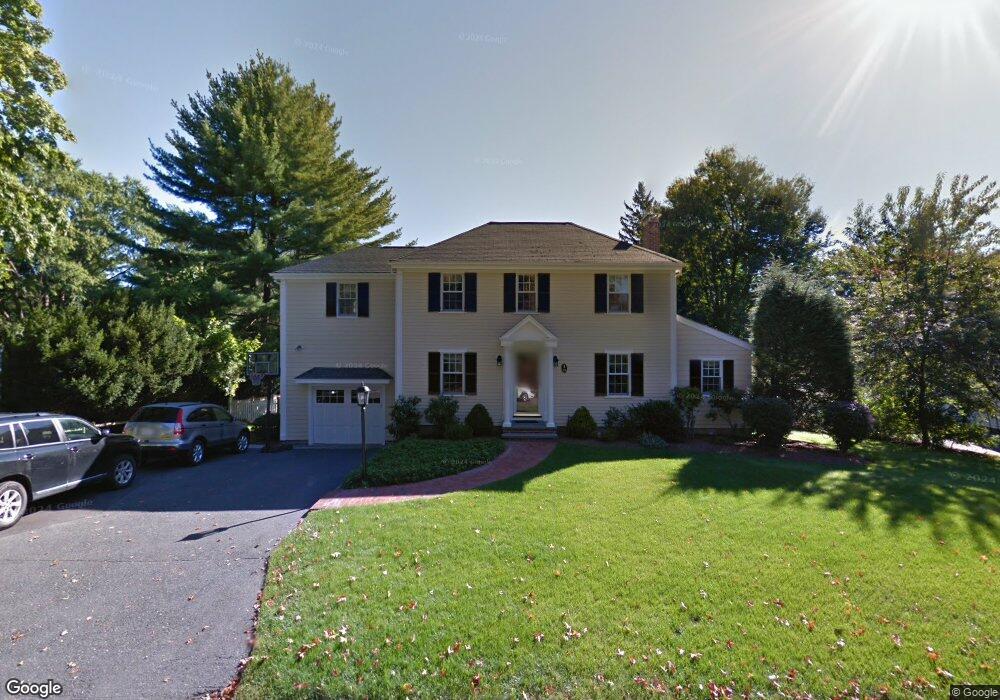
15 Wingate Rd Wellesley Hills, MA 02481
Estimated Value: $1,876,000 - $2,111,000
4
Beds
4
Baths
2,518
Sq Ft
$796/Sq Ft
Est. Value
About This Home
This home is located at 15 Wingate Rd, Wellesley Hills, MA 02481 and is currently estimated at $2,003,646, approximately $795 per square foot. 15 Wingate Rd is a home located in Norfolk County with nearby schools including Katharine Lee Bates Elementary School, Wellesley Middle School, and Wellesley Sr High School.
Ownership History
Date
Name
Owned For
Owner Type
Purchase Details
Closed on
Aug 15, 2003
Sold by
William Ledingham Lt and Ledingham William
Bought by
Forsgren Kurt E and Mallett Patricia A
Current Estimated Value
Purchase Details
Closed on
May 15, 1990
Sold by
Young Lawrence H
Bought by
Ledingham William
Create a Home Valuation Report for This Property
The Home Valuation Report is an in-depth analysis detailing your home's value as well as a comparison with similar homes in the area
Home Values in the Area
Average Home Value in this Area
Purchase History
| Date | Buyer | Sale Price | Title Company |
|---|---|---|---|
| Forsgren Kurt E | $1,147,000 | -- | |
| Ledingham William | $358,500 | -- |
Source: Public Records
Mortgage History
| Date | Status | Borrower | Loan Amount |
|---|---|---|---|
| Open | Ledingham William | $875,000 | |
| Closed | Ledingham William | $100,000 |
Source: Public Records
Tax History Compared to Growth
Tax History
| Year | Tax Paid | Tax Assessment Tax Assessment Total Assessment is a certain percentage of the fair market value that is determined by local assessors to be the total taxable value of land and additions on the property. | Land | Improvement |
|---|---|---|---|---|
| 2025 | $17,651 | $1,717,000 | $1,121,000 | $596,000 |
| 2024 | $16,104 | $1,547,000 | $974,000 | $573,000 |
| 2023 | $15,400 | $1,345,000 | $827,000 | $518,000 |
| 2022 | $14,542 | $1,245,000 | $709,000 | $536,000 |
| 2021 | $14,629 | $1,245,000 | $709,000 | $536,000 |
| 2020 | $14,392 | $1,245,000 | $709,000 | $536,000 |
| 2019 | $14,231 | $1,230,000 | $709,000 | $521,000 |
| 2018 | $13,766 | $1,152,000 | $673,000 | $479,000 |
| 2017 | $13,417 | $1,138,000 | $673,000 | $465,000 |
| 2016 | $12,966 | $1,096,000 | $661,000 | $435,000 |
| 2015 | $12,681 | $1,097,000 | $661,000 | $436,000 |
Source: Public Records
Map
Nearby Homes
- 19 Wingate Rd
- 9 Wingate Rd
- 64 Boulder Brook Rd
- 16 Wingate Rd
- 5 Wingate Rd
- 23 Wingate Rd
- 6 Wingate Rd
- 46 Richland Rd
- 60 Boulder Brook Rd
- 72 Beverly Rd
- 39 Richland Rd
- 27 Wingate Rd
- 59 Boulder Brook Rd
- 42 Richland Rd
- 77 Chesterton Rd
- 56 Boulder Brook Rd
- 64 Beverly Rd
- 35 Richland Rd
- 71 Beverly Rd
- 55 Boulder Brook Rd