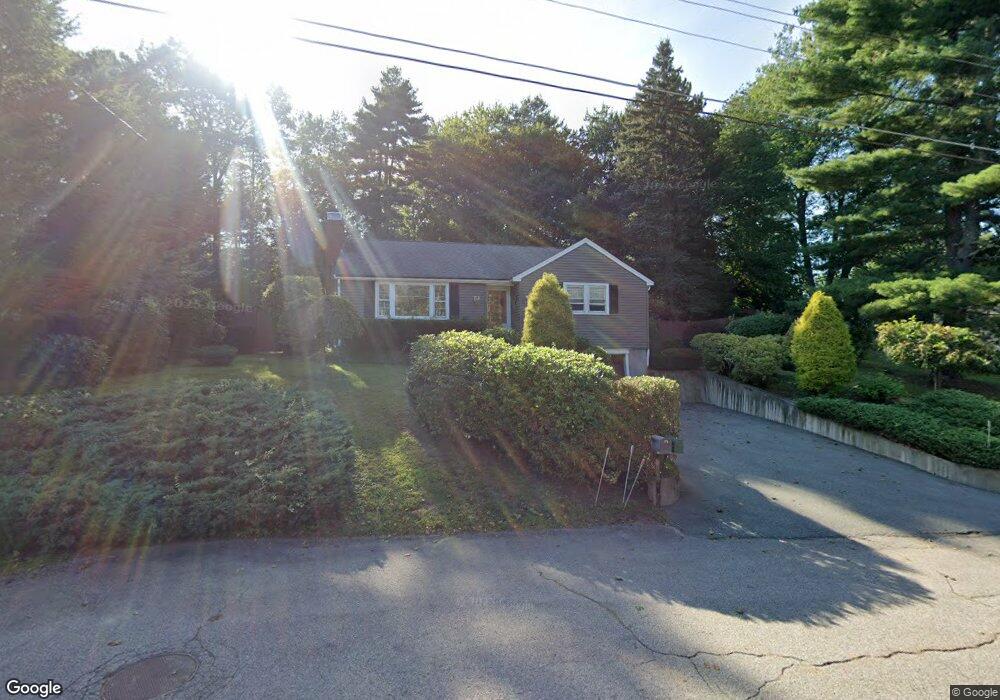
15 Winslow Rd Sharon, MA 02067
Estimated Value: $538,000 - $690,000
2
Beds
1
Bath
1,184
Sq Ft
$519/Sq Ft
Est. Value
About This Home
This home is located at 15 Winslow Rd, Sharon, MA 02067 and is currently estimated at $614,040, approximately $518 per square foot. 15 Winslow Rd is a home located in Norfolk County with nearby schools including East Elementary School, Sharon Middle School, and Sharon High School.
Ownership History
Date
Name
Owned For
Owner Type
Purchase Details
Closed on
Dec 5, 2019
Sold by
Gird Patricia C
Bought by
Johnpat Ret
Current Estimated Value
Purchase Details
Closed on
Mar 20, 2007
Sold by
Standring Mary E and Standring Richard L
Bought by
Gird Patricia C
Purchase Details
Closed on
Oct 15, 2002
Sold by
Bell Harold L and Bell Lorraine B
Bought by
Standring Richard L and Standring Mary E
Home Financials for this Owner
Home Financials are based on the most recent Mortgage that was taken out on this home.
Original Mortgage
$160,000
Interest Rate
6.24%
Mortgage Type
Purchase Money Mortgage
Create a Home Valuation Report for This Property
The Home Valuation Report is an in-depth analysis detailing your home's value as well as a comparison with similar homes in the area
Home Values in the Area
Average Home Value in this Area
Purchase History
| Date | Buyer | Sale Price | Title Company |
|---|---|---|---|
| Johnpat Ret | -- | None Available | |
| Gird Patricia C | $305,000 | -- | |
| Standring Richard L | $280,000 | -- |
Source: Public Records
Mortgage History
| Date | Status | Borrower | Loan Amount |
|---|---|---|---|
| Previous Owner | Standring Richard L | $160,000 |
Source: Public Records
Tax History Compared to Growth
Tax History
| Year | Tax Paid | Tax Assessment Tax Assessment Total Assessment is a certain percentage of the fair market value that is determined by local assessors to be the total taxable value of land and additions on the property. | Land | Improvement |
|---|---|---|---|---|
| 2025 | $8,869 | $507,400 | $362,300 | $145,100 |
| 2024 | $8,461 | $481,300 | $332,400 | $148,900 |
| 2023 | $8,282 | $445,500 | $310,600 | $134,900 |
| 2022 | $7,876 | $398,800 | $258,800 | $140,000 |
| 2021 | $7,273 | $356,000 | $219,800 | $136,200 |
| 2020 | $6,625 | $348,700 | $212,500 | $136,200 |
| 2019 | $6,310 | $325,100 | $196,600 | $128,500 |
| 2018 | $6,224 | $321,300 | $192,800 | $128,500 |
| 2017 | $6,012 | $306,400 | $180,200 | $126,200 |
| 2016 | $5,934 | $295,100 | $180,200 | $114,900 |
| 2015 | $5,489 | $270,400 | $165,300 | $105,100 |
| 2014 | $5,380 | $261,800 | $165,100 | $96,700 |
Source: Public Records
Map
Nearby Homes
- 3 Trowel Shop Pond Rd Unit 3
- 20 Trowel Shop Pond Rd Unit 24
- 16 Trowel Shop Pond Rd Unit 16
- 2 Trowel Shop Pond Rd Unit 2
- 8 Trowel Shop Pond Rd Unit 8
- 12 Trowel Shop Pond Rd Unit 12
- 24 Trowel Shop Pond Rd Unit 24
- 6 Trowel Shop Pond Rd Unit 6
- 380 N Main St
- 40 Bayberry Dr Unit 1
- 4 Bayberry Dr Unit 3
- 2 Rhodes Ave
- 47 Ashcroft Rd
- 136 N Main St
- 7 Ashcroft Rd
- 64 Highland St
- 212 Washington St
- 10 Trayer Rd
- 29-31 Pond St
- 12 Eastwood Rd