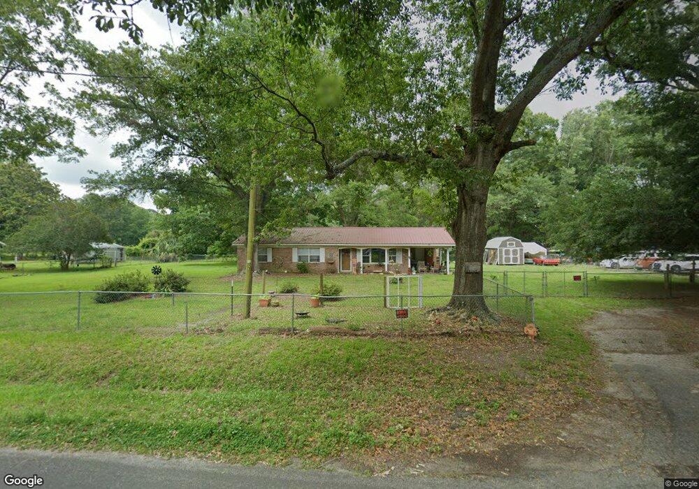
15 Witsell Rd Seabrook, SC 29940
Dale NeighborhoodEstimated Value: $224,488 - $349,000
3
Beds
2
Baths
1,312
Sq Ft
$216/Sq Ft
Est. Value
About This Home
This home is located at 15 Witsell Rd, Seabrook, SC 29940 and is currently estimated at $283,872, approximately $216 per square foot. 15 Witsell Rd is a home located in Beaufort County with nearby schools including Whale Branch Elementary School, Whale Branch Middle School, and Whale Branch Early College High School.
Ownership History
Date
Name
Owned For
Owner Type
Purchase Details
Closed on
Jul 10, 2020
Sold by
Aughtman Edward C
Bought by
Lyda Andrew G and Lyda Ashley M
Current Estimated Value
Home Financials for this Owner
Home Financials are based on the most recent Mortgage that was taken out on this home.
Original Mortgage
$164,900
Outstanding Balance
$144,251
Interest Rate
3.1%
Mortgage Type
New Conventional
Estimated Equity
$139,621
Purchase Details
Closed on
Oct 28, 2010
Sold by
Aughtman Gladys D
Bought by
Aughtman Edward C and The Gladys D Aughtman Living Trust
Create a Home Valuation Report for This Property
The Home Valuation Report is an in-depth analysis detailing your home's value as well as a comparison with similar homes in the area
Home Values in the Area
Average Home Value in this Area
Purchase History
| Date | Buyer | Sale Price | Title Company |
|---|---|---|---|
| Lyda Andrew G | $164,900 | Ticor | |
| Aughtman Edward C | -- | -- |
Source: Public Records
Mortgage History
| Date | Status | Borrower | Loan Amount |
|---|---|---|---|
| Open | Lyda Andrew G | $164,900 |
Source: Public Records
Tax History
| Year | Tax Paid | Tax Assessment Tax Assessment Total Assessment is a certain percentage of the fair market value that is determined by local assessors to be the total taxable value of land and additions on the property. | Land | Improvement |
|---|---|---|---|---|
| 2025 | $1,030 | $6,770 | $0 | $0 |
| 2024 | $1,030 | $6,772 | $2,184 | $4,588 |
| 2023 | $1,034 | $6,772 | $2,184 | $4,588 |
| 2022 | $1,059 | $6,596 | $1,812 | $4,784 |
| 2021 | $2,716 | $6,596 | $1,812 | $4,784 |
| 2020 | $1,477 | $4,792 | $1,812 | $2,980 |
| 2019 | $1,459 | $5,340 | $0 | $0 |
| 2018 | $1,371 | $5,340 | $0 | $0 |
| 2017 | $1,253 | $4,640 | $0 | $0 |
| 2016 | $1,222 | $4,640 | $0 | $0 |
| 2014 | $128 | $4,640 | $0 | $0 |
Source: Public Records
Map
Nearby Homes
- 6 Dan Dr
- 29 State Road S-7-769
- 972 Kinloch Rd
- 26 Swamprose Ln
- 15 Oakhurst Rd
- 15 And 19 Oakhurst Rd
- 19 Oakhurst Rd
- 57 Community Center Rd
- 163 Keans Neck Rd
- 3 Sea Crest Ln
- 40 Creekmoor Ln
- 117 Teal Bluff Blvd
- 20 Crystal St
- 28 Jeannine Ct
- 126 Stuart Point Rd
- 17 Haynes Rd
- 380 Bruce K Smalls Dr
- 23 Seabrook Rd
- 1843 Carolina Ave
- 75 Ihly Farm Rd
- 9 Witsell Rd
- 10 Witsell Rd
- 5 Coker Ln
- 13 Coker Ln
- 568 Kean Neck Rd
- 22 Coker Ln
- 6 Coker Ln
- 6 Coker Ln
- 25 Coker Ln
- 538 Keans Neck Rd
- 41 Witsell Rd
- 534 Kean Neck Rd
- 578 Keans Neck Rd
- 582 Keans Neck Rd
- 522 Kean Neck Rd
- 116 Porches Hill Rd
- 521 Keans Neck Rd
- 591 Keans Neck Rd
- 87 State Road S-7-769
- 507 Kean Neck Rd
Your Personal Tour Guide
Ask me questions while you tour the home.