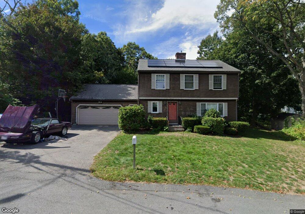
15 Wolcott Rd Quincy, MA 02169
Estimated Value: $789,000 - $867,065
4
Beds
3
Baths
2,272
Sq Ft
$363/Sq Ft
Est. Value
About This Home
This home is located at 15 Wolcott Rd, Quincy, MA 02169 and is currently estimated at $825,016, approximately $363 per square foot. 15 Wolcott Rd is a home located in Norfolk County with nearby schools including South West Middle School, Lincoln-Hancock Community School, and Quincy High School.
Ownership History
Date
Name
Owned For
Owner Type
Purchase Details
Closed on
Sep 29, 2004
Sold by
Cedrone Elaine F and Cedrone Ralph L
Bought by
Landers John F
Current Estimated Value
Home Financials for this Owner
Home Financials are based on the most recent Mortgage that was taken out on this home.
Original Mortgage
$305,000
Outstanding Balance
$151,456
Interest Rate
5.81%
Mortgage Type
Purchase Money Mortgage
Estimated Equity
$673,560
Purchase Details
Closed on
Nov 25, 1987
Sold by
Rogan Tr Paul J
Bought by
Cedrone Ralph L
Home Financials for this Owner
Home Financials are based on the most recent Mortgage that was taken out on this home.
Original Mortgage
$211,500
Interest Rate
11.59%
Mortgage Type
Purchase Money Mortgage
Create a Home Valuation Report for This Property
The Home Valuation Report is an in-depth analysis detailing your home's value as well as a comparison with similar homes in the area
Home Values in the Area
Average Home Value in this Area
Purchase History
| Date | Buyer | Sale Price | Title Company |
|---|---|---|---|
| Landers John F | $500,000 | -- | |
| Cedrone Ralph L | $235,000 | -- |
Source: Public Records
Mortgage History
| Date | Status | Borrower | Loan Amount |
|---|---|---|---|
| Open | Landers John F | $305,000 | |
| Previous Owner | Cedrone Ralph L | $180,000 | |
| Previous Owner | Cedrone Ralph L | $211,500 |
Source: Public Records
Tax History Compared to Growth
Tax History
| Year | Tax Paid | Tax Assessment Tax Assessment Total Assessment is a certain percentage of the fair market value that is determined by local assessors to be the total taxable value of land and additions on the property. | Land | Improvement |
|---|---|---|---|---|
| 2025 | $8,764 | $760,100 | $356,500 | $403,600 |
| 2024 | $8,308 | $737,200 | $341,700 | $395,500 |
| 2023 | $7,743 | $695,700 | $327,600 | $368,100 |
| 2022 | $7,399 | $617,600 | $270,900 | $346,700 |
| 2021 | $7,551 | $622,000 | $270,900 | $351,100 |
| 2020 | $7,373 | $593,200 | $270,900 | $322,300 |
| 2019 | $7,553 | $601,800 | $264,400 | $337,400 |
| 2018 | $7,469 | $559,900 | $248,100 | $311,800 |
| 2017 | $7,383 | $521,000 | $238,400 | $282,600 |
| 2016 | $6,944 | $483,600 | $220,800 | $262,800 |
| 2015 | $6,598 | $451,900 | $210,800 | $241,100 |
| 2014 | $6,437 | $433,200 | $210,800 | $222,400 |
Source: Public Records
Map
Nearby Homes
- 80 Woodcliff Rd
- 63 Adele Rd
- 211 West St Unit 12B
- 808 Willard St Unit F11
- 52 Bunker Hill Ln
- 36 Greystone St Unit 36
- 55 Station St Unit 1
- 42 West St
- 57A West St
- 203 Centre St
- 72 Centre St Unit J
- 21 Totman St Unit 204
- 21 Totman St Unit 306
- 21 Totman St Unit 410
- 21 Totman St Unit 309
- 21 Totman St Unit Model-1
- 21 Totman St Unit 202
- 21 Totman St Unit 2
- 2 Ricciuti Dr Unit 8
- 28 Miller St Unit 8